Browse The Trails
South Pyramid Creek Trail
Trail Snapshot:

Trail Description
E-bikes NOT allowed on South Pyramid Creek
South Pyramid Creek starts at the base of the Three Pyramids on FS 560. The trailhead is primitive (as with most OCC trailheads). The entry onto the trail requires a rocky creek crossing, and you will then see on your left the start of the South Pyramid Creek. To the right is the beginning of the Pyramids Trail which was closed to bikes (Fall 2017) until a re-route is created (Happening Spring/Summer 18).
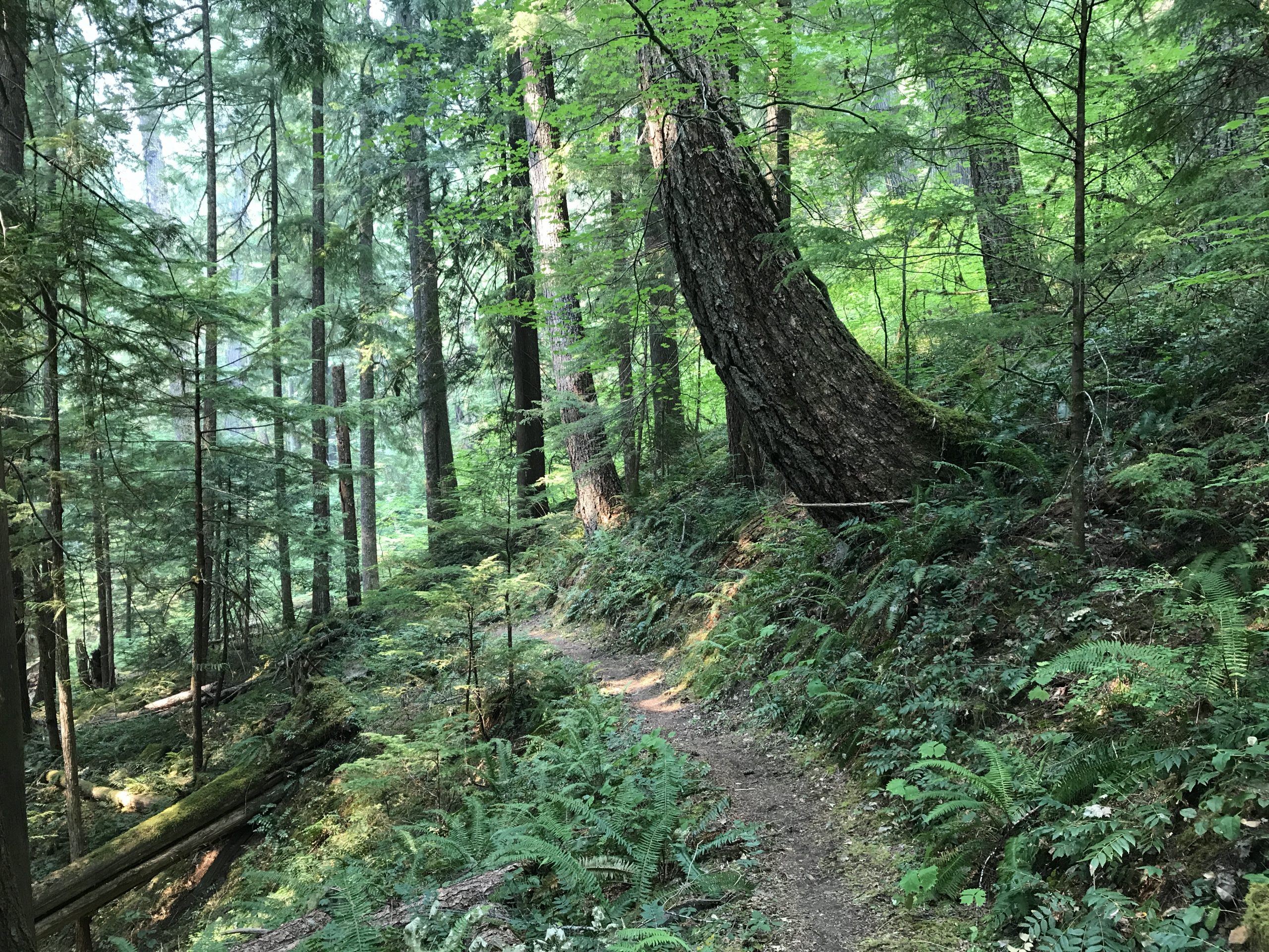
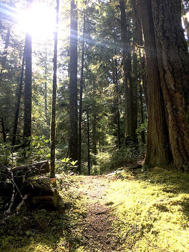
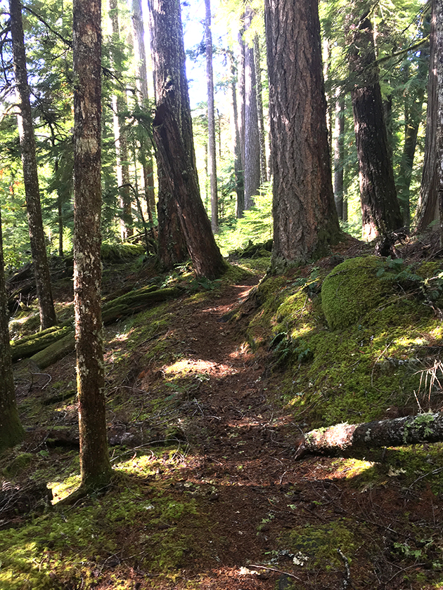
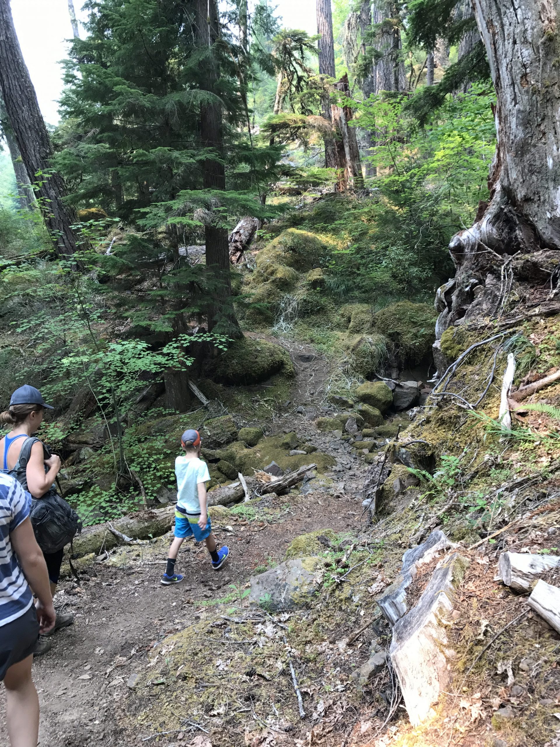
South Pyramid Creek sets out along the side hill of the Three Pyramids – which are impressive land forms unto themselves. There are no good views of the rocky and intimidating Pyramids along this trail, but the forest along the base of this three-headed beast is magical. You will cross several small drainages from the mountain where the water has eroded previous crossings. Old growth trees surround you as you head uphill slightly while traversing the SE side of South Pyramid.
After 1.5 miles you will come to the 572 Road and the intersection of Crescent Mountain Trail on the other side of the road.
South Pyramid Creek continues along the side of the hill to the East and soon starts to head downhill along South Pyramid Creek. You will cross the creek several times with tight, aggressive switchbacks. Some crossings have structures and some will leave your feet wet. This section is a super fun descent down to the 2047 Road. Nothing very steep or technical, but definitely a hoot.
At the road crossing, you will need to ride to the North along the road for a hundred yards or so until you see the continuation of the trail on your left.
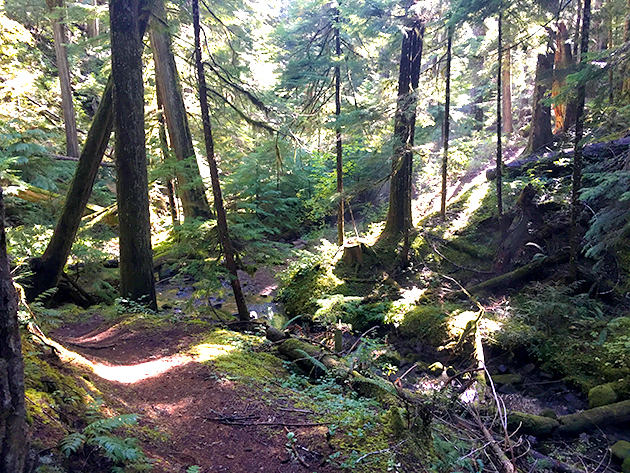
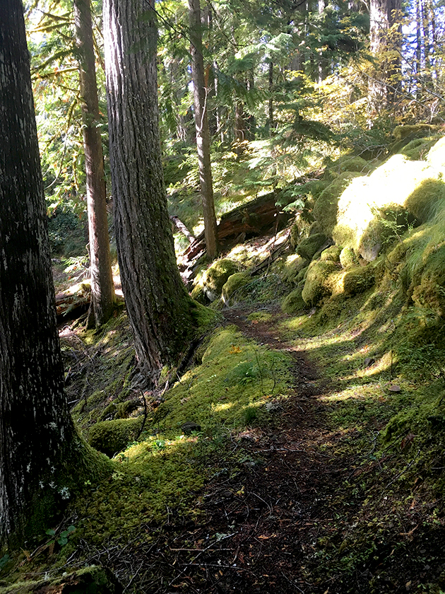
Below the 2047 Road the trail gets all Narnia as the trees get larger, and the trail is surrounded by moss and old growth charm. Within a mile you will come to a trail fork. To the right is a stub out to the South Pyramid Horse Camp which is about 100 yards or so up the trail. This is an undeveloped grass parking area with a fire pit.
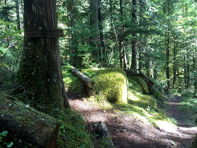
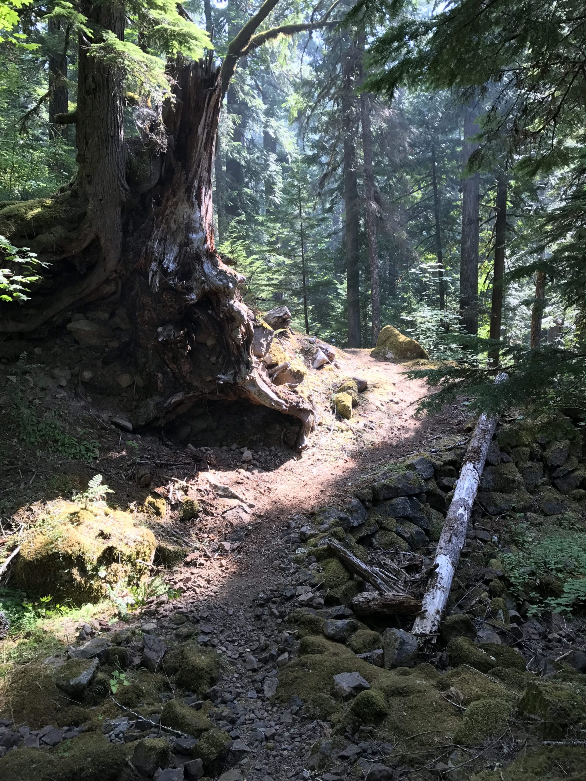
If you stay left at the fork, the trail continues for 1.6 miles to the intersection with Chimney Peak Trail. Take note of the absolutely insane bench cuts in solid rock within this zone. It’s some of the most scenic trail on the entire loop. Take care not to descend out of control off the edge of the trail. For real. I’ve watched it happen!
Hit up Horse Creek Lodge & Outfitters if you need a guide or a shuttle to for South Pyramid Creek.
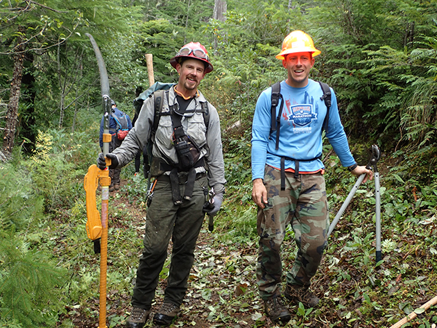
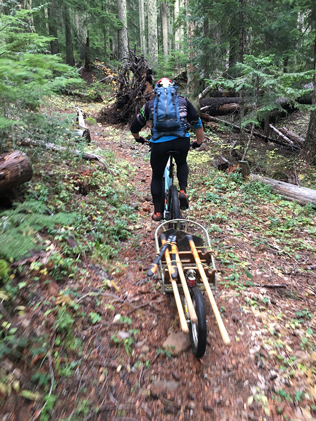
Trail Photos


Trail is open above horse camp and closed below. Cleared of logs.
Trail closed per Pyramid Fire.
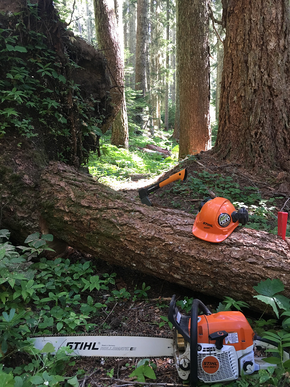
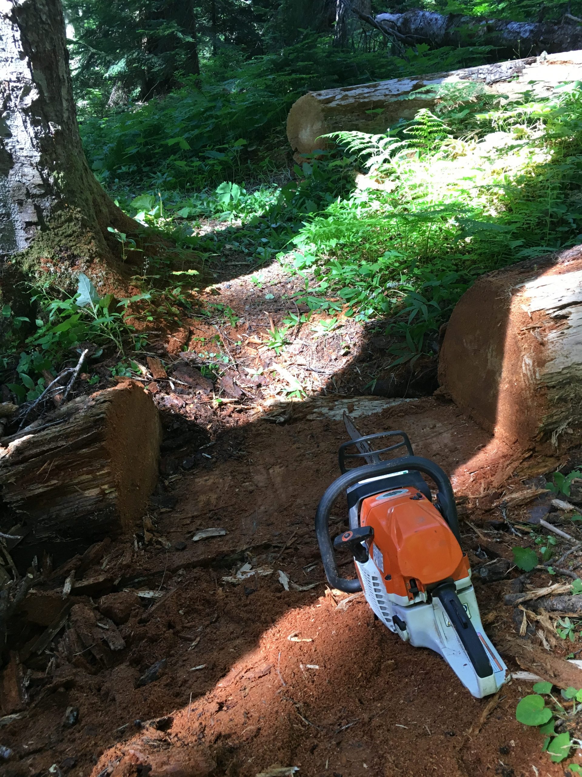
Cleared June 18, 2023 all except from Crescent North TH to Pyramids TH. Not sure on deadfall in that area.
Descended and climbed back up today and no deadfall, as always thanks to whoever cut out the trees that were there. The bridge is still hanging on!
Trail is riding great. Careful at the bridge crossing! Dismount and walk across, a number of planks are broken
12-15” tree down about 1/2 mile west of crescent intersection. Elevated about a foot.
Trail currently closed via Bruler fire closure map.
Trail is clear
Rode it Saturday and someone had already cleared a handful of trees that had fallen during the last wind storm. Thank you to whoever this person is! Dirt was perfect!
How far down did you ride Jeff?
Climbed and descended the trail Saturday. Some hero(s) did a lot of work getting the blow down clear. There’s 10-15’ of trail where a tree and it’s connected root ball completely took out the trail, but you can see it coming. It’s going to be a tough repair job though.
Trail is not ready to ride. Some of the upper trail has been cleared (Just over a mile on total) but some big trees remain both above and below The 840 road. If you do ride check your speed because some of the trail damage is in a spot that you might be going fast on and if you come upon it too fast you will be hurt.
Parked where the trail hits the 2047 road then pedaled up that and the 840 road to the N. Crescent Mtn/S. Pyramid Crk TH and down. Fun & flowy dirt, no logging activity or trees across the road now.
Sweet! Thanks for the update.
Rode from the Pyramids TH down to Shedd Camp/Santiam, trail is in good shape. On the fire road return back (2047 & 840), there was signage on the 840 road that noted it was closed to public use due to logging. Flagging was set up as well across the road. Also, there was an intentional tree fall across the road a little further up.
Hey, planning to ride this on Saturday, I’m scouring the maps, but I don’t see any Road 840 connected to 2047. Is 840 the same road as 572 right by the trailhead?
The 840 road starts at the west end of the 572 road at the 2047/Sheep Creek road junction according to Google Maps. Looks like it changes names once it crosses back to public land.
Trail is clear. Thanks Adam Craig
The trees are mostly cleared. I ran out of time about a mile from the Middle Fork of the Santiam River. There is one giant log you can walk under that is too big and too dangerous for me.