Expand Map Expand Page
Santiam Wagon Trail
Trail Snapshot:
Trail Description
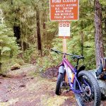
E-bikes NOT allowed on Santiam Wagon
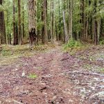
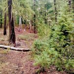
Santiam Wagon Road overall is mostly double track. But this segment is singeltrack and we’ve been told it’s worth a look. Send is comments and photos if you ride!
CONNECT WITH BEND TRAILS
©2025 MTB Trails LLC, All Rights Reserved
A Project of Sketchbook Inc. and Delicious


If this were logged out, brushed, and given a rake… it would be one heck of a fun downhill with an optional gravel road climb. Needs more traffic!
Forgot what a fun flowy trail this is – well worth the road climb to get to it. It would flow better if the dozen or so large logs were cut out though :) Not sure who takes care of this section, but hopefully they will get to it, as my 7″ handsaw was useless
should get logged out on the 30th
Oh, there are about three or four trees down on the entire trail, only two of which are not easily ride-able over them.
This is an awesome alternate start to riding the MRT. Park at the Little Nash Sno-Park, take NF-2676 3 miles south (400′ gentle ascent) then turn right on the SWR Trail. It’s a 3 mile 1000′ DH coast through beautiful forests then come out at the MRT upper TH. I’ll never start at the MRT TH again!