Browse The Trails
Crescent Mountain (North) Trail
Trail Snapshot:

Trail Description
E-bikes NOT allowed on Crescent Mountain (North)
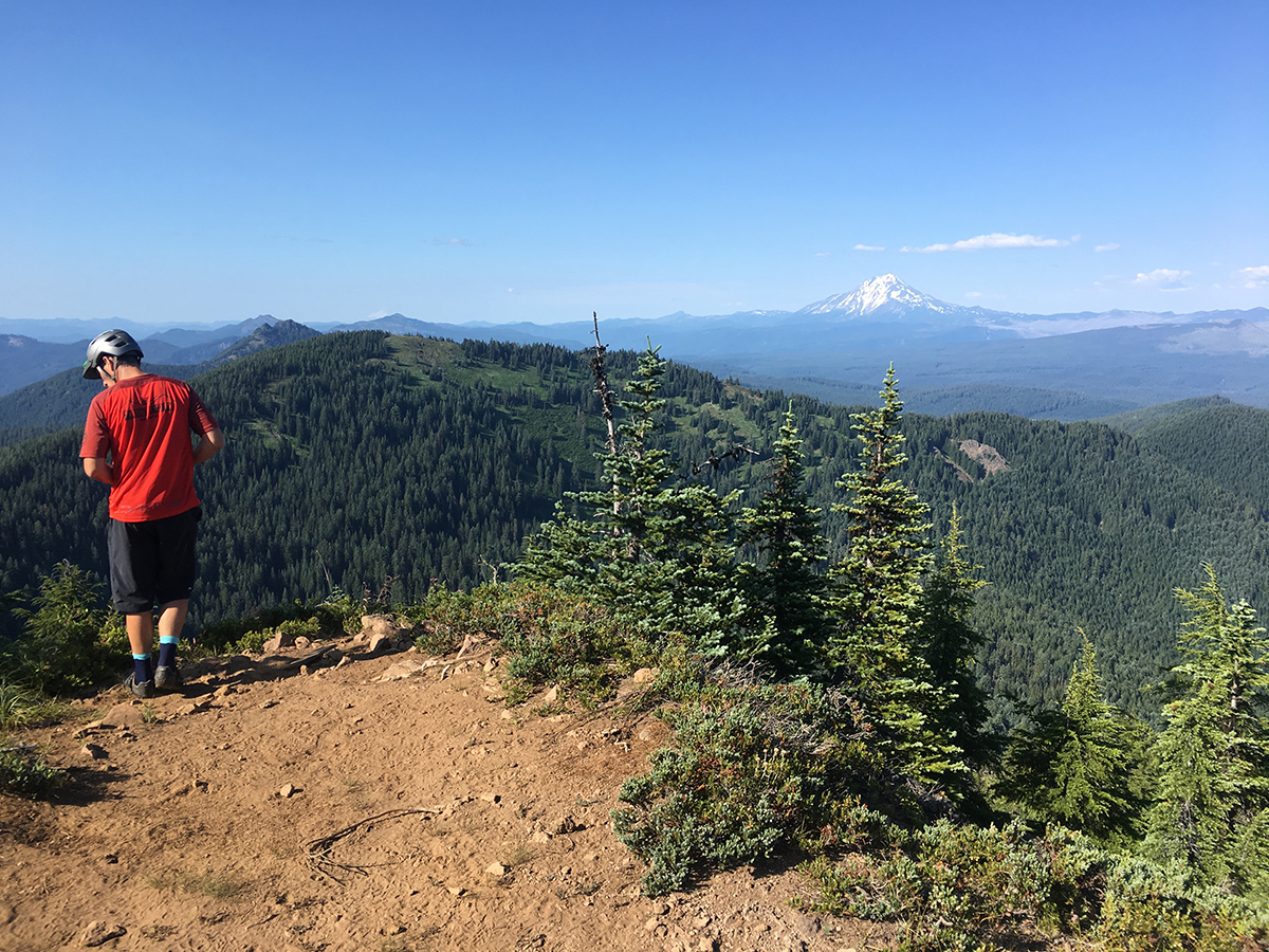
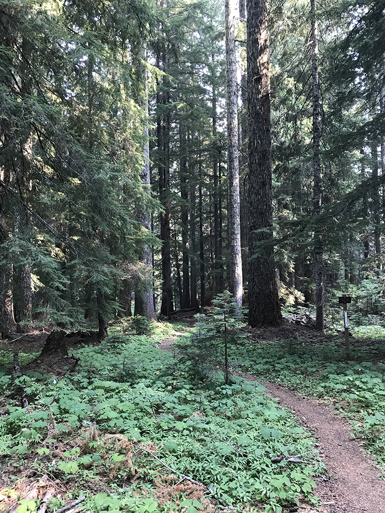
Crescent Mountain (North and South) is the quintessential ride in the Old Cascade Crest (OCC) network of trails – it’s got it all. Old growth forests, creek crossings, huge alpine meadows and a summit spur with an incredible view of the Cascade Range (from the East). Oh – and climbing. Lots and lots of climbing! 2,500 feet of elevation gain in about four miles makes this a very tough climb. 30% grades are common and most people will walk some sections. It’s all ride-able, but it’s just a constant push once the tread turns upward.
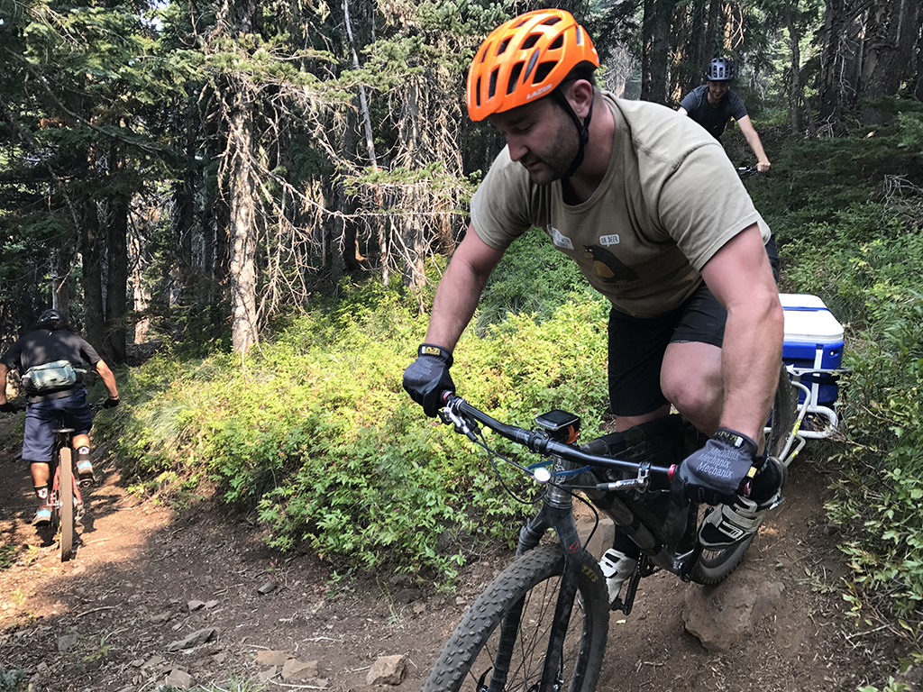
This trail is really only a blue level of difficulty but the steep sections and trenched-out root sections make for a black rating.
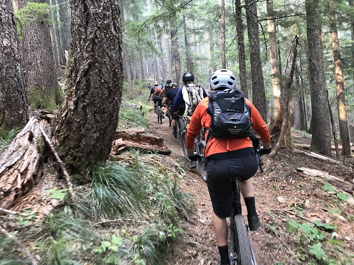
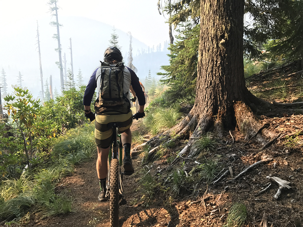
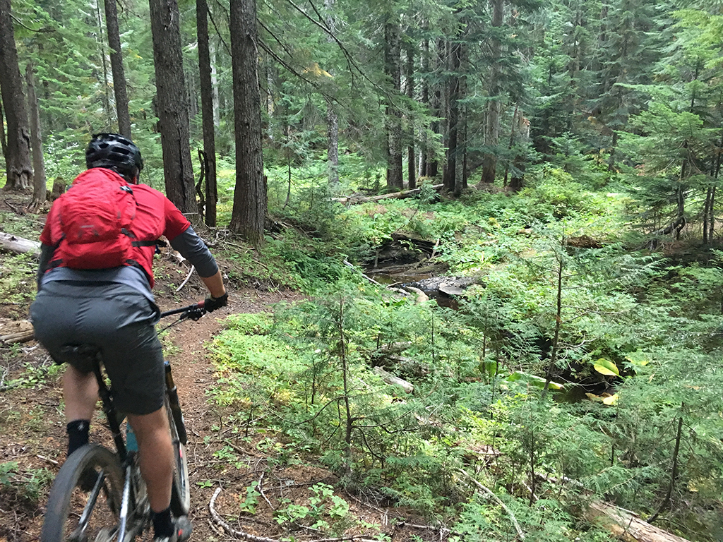
Crescent Mountain North begins on the North along FS 572 where it intersects South Pyramid Creek Trail. After a short downhill jaunt to a creek crossing, the trail begins its earnest climb up through the old growth forest, where the trail has become a creek from yearly runoff and bad trail layout or a lack of drains. Notice the superb rock work at the creek crossing which replaced an old bridge. This will last forever. The root-laced trench of a trail goes for a ways and is the most tech you will see on this trail.
Climbing is steady and steep with a few short areas where you can level out and catch your breath (almost). In a couple of spots you can see the summit of Crescent Mountain looming ahead. Rhododendrons begin to surround you along this climb and soon you will make a quick descent to a road crossing. There’s a nice view as you turn this right corner toward the decent and pop out into a clear cut. Clear cuts suck (did you hear that Oregon Wild?) but they at least provide a view once in a while.
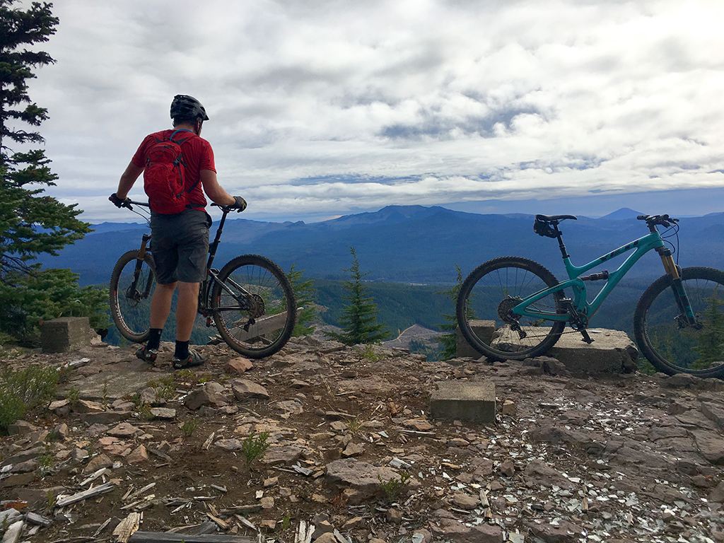
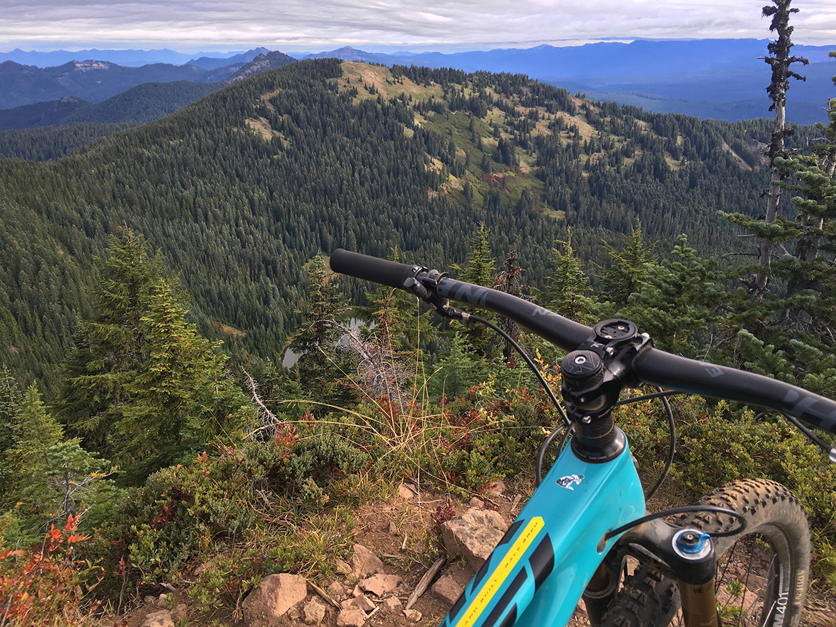
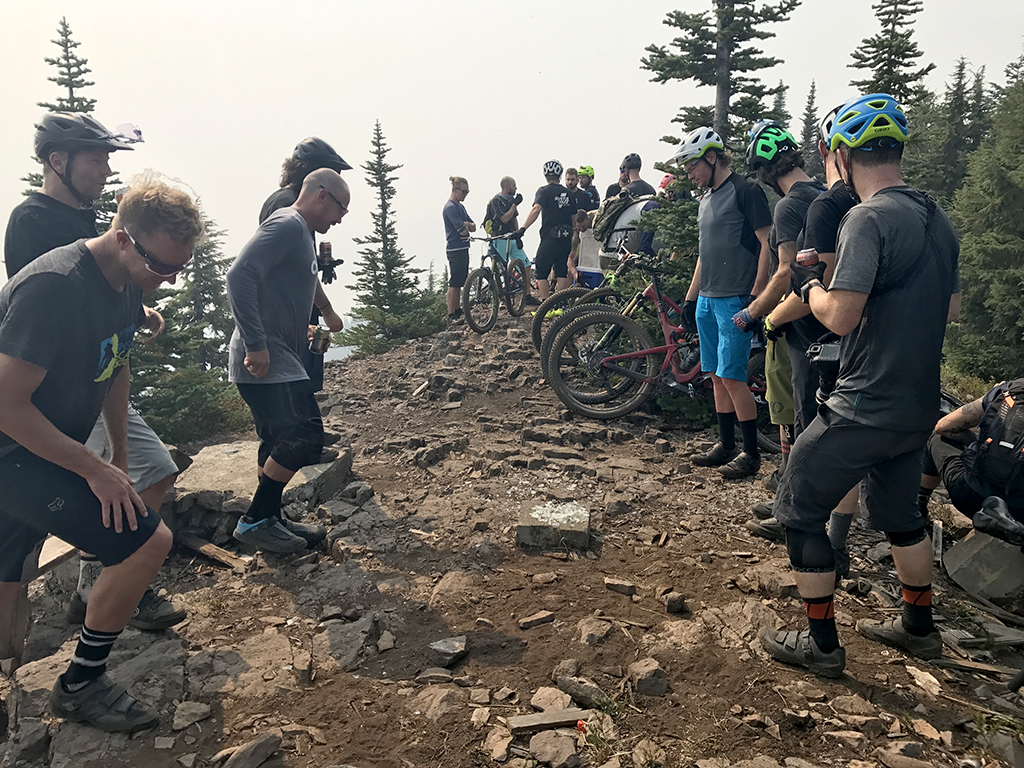
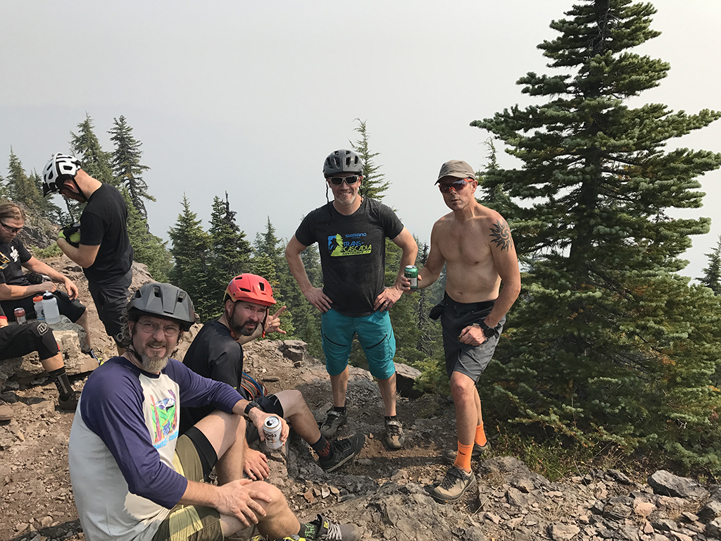
Climbing continues through some switchbacks and a long, fairly straight but brutally steep bench cut as you reach the upper rim of the mountain. The trail continues climbing up around the back side of the crescent shaped mountain and you will eventually come to the short spur that goes to the summit on your left.
Below the spur to the South begins the descent of Crescent Mountain (South).
Hit up Horse Creek Lodge & Outfitters if you need a guide or a shuttle to Crescent Mountain.
Trail Photos


Trail closed per Pyramid Fire.
I believe Crescent is now open (north and south).
If you ride Crescent North beware of a bees nest about 1 1/2 miles from the top 5000 ft elevation. It’s where there is a down tree. I got stung
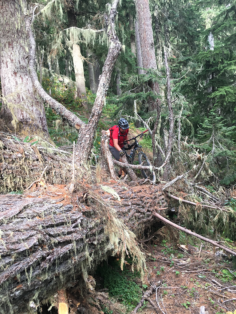
Tried to ride up the trail today as someone had marked it clear which it is far from unfortunately. We turned back near halfway up after scaling quite a few trees. Dirt is lovely
Still trees down.
Should be clear now
Not sure if this is appropriate here, but I have a question: if riding from end to end one way, does Crescent ride better (more fun/playful descent) going north or going south?
I prefer north as a descent
Best of both worlds is out and back. Climb both ends and descend both ends. IMO North is flowier, South chunkier and steeper. Both are really fun.
I agree, out and back. Both N and S are great descents.
Snow line is about half way up S crescent – so the snow is probably even lower on the North. Not currently rideable and not logged out.
These trails (both Crescent N. & S.) also fall within Bruler fire closure, FYI: https://www.fs.usda.gov/Internet/FSE_DOCUMENTS/fseprd931776.pdf
Be safe out there people.
clear up to the last ridgeline before the final climb. Snow is laying in heavy above that point. Could use a brushing between 548 road crossing and top.
All clear and riding beautifully
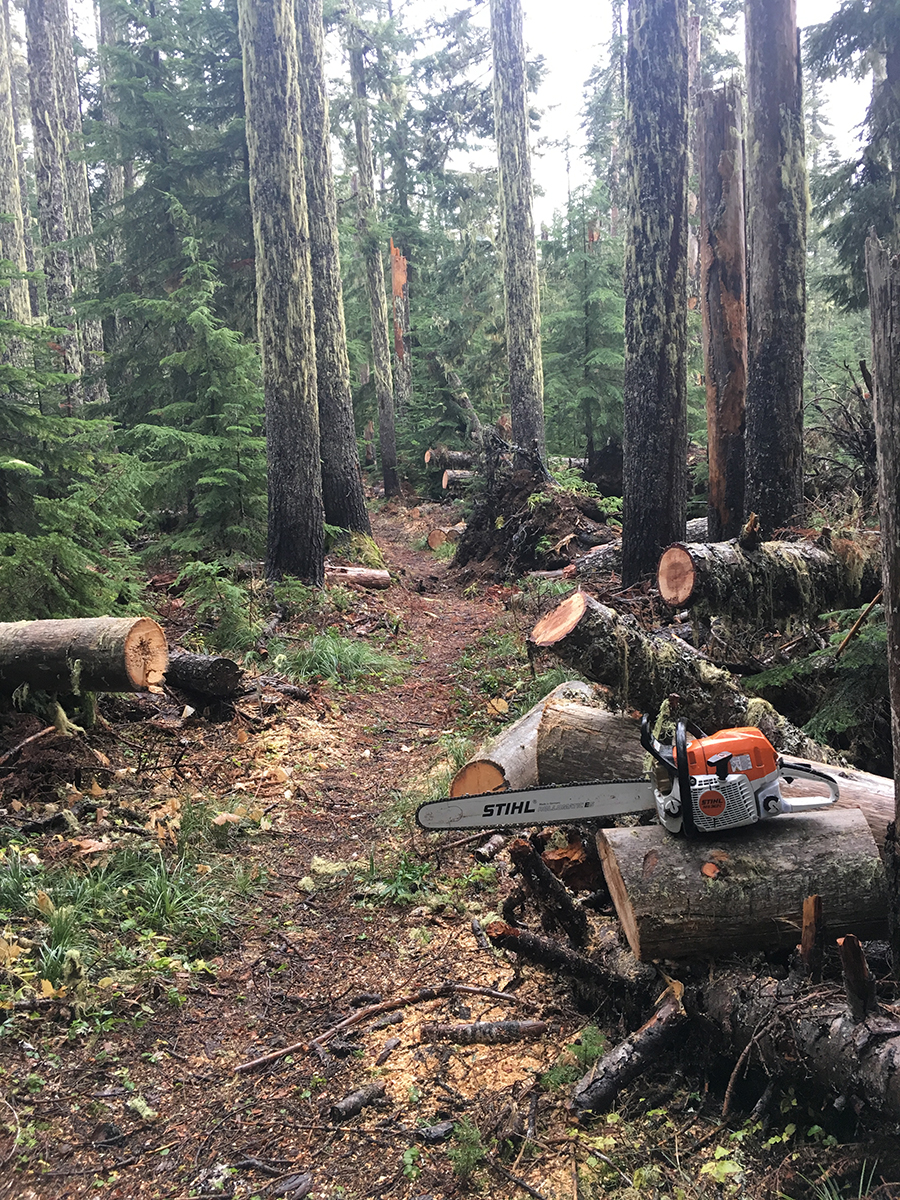
Rode it Saturday and someone had already cleared a handful of trees that had fallen during the last wind storm. Thank you to whoever this person is! Dirt was perfect!
still some snow above the clearing. Some trees down there too. thanks for the report Brian Coop
Three trees down, roughly halfway. Not in any particularly fast sections, but be on the lookout.