Browse The Trails
Crescent Mountain (South) Trail
Trail Snapshot:

Trail Description
E-bikes NOT allowed on Crescent Mountain (South)
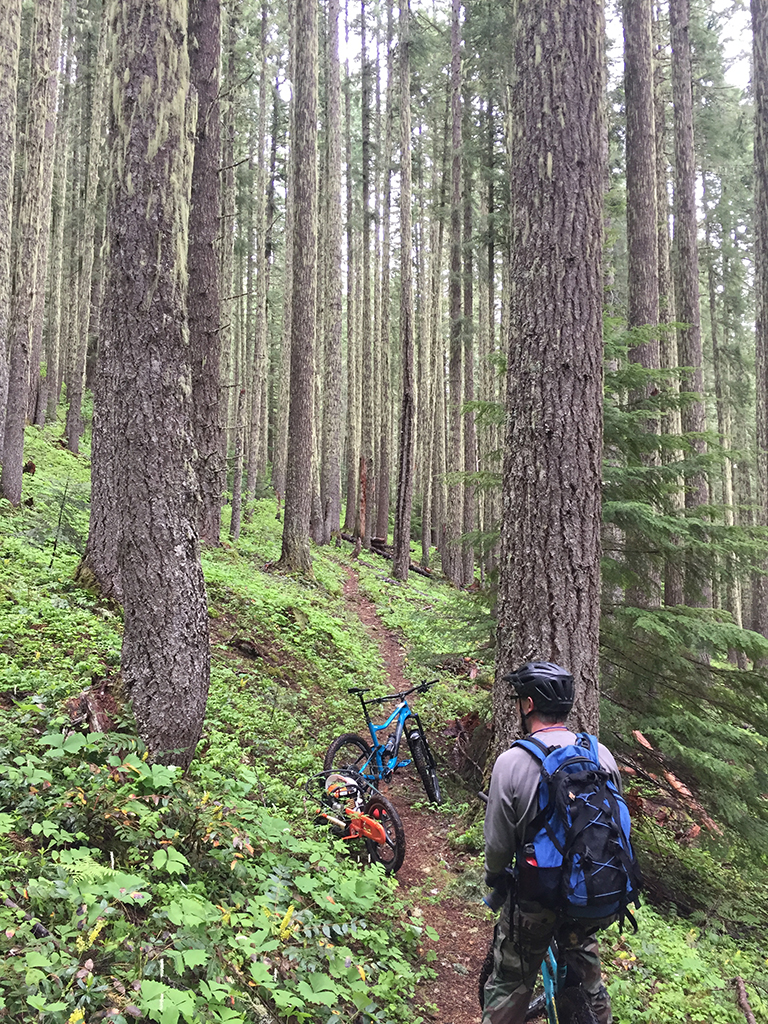
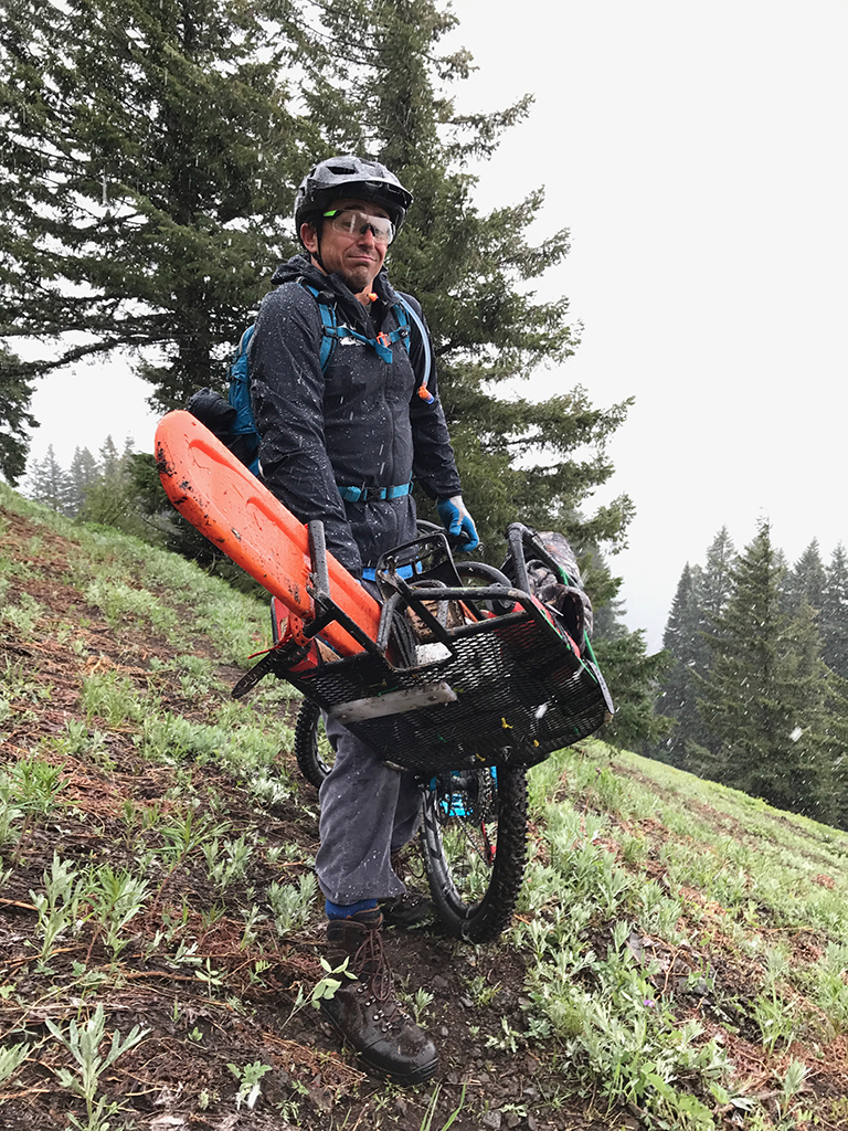
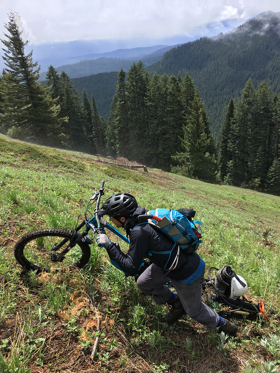
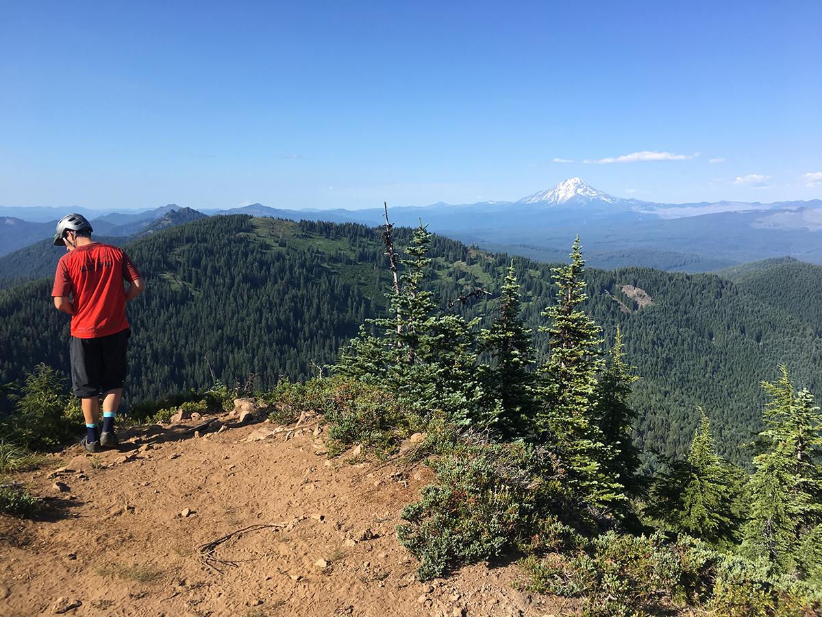
Crescent Mountain (North and South) is the quintessential ride in the Old Cascade Crest (OCC) network of trails — it’s got it all. Old growth forests, creek crossings, huge alpine meadows and a summit spur with an incredible view of the Cascade Range (from the East). Oh – and climbing. Lots and lots of climbing! 2,500 feet of elevation gain in about four miles makes this a very tough climb. 30% grades are common and most people will walk some sections. It’s all ride-able, but it’s just a constant push once the tread turns upward.
Crescent Mountain South is really only a blue level of difficulty but the steep sections and trenched-out root sections make for a black rating.
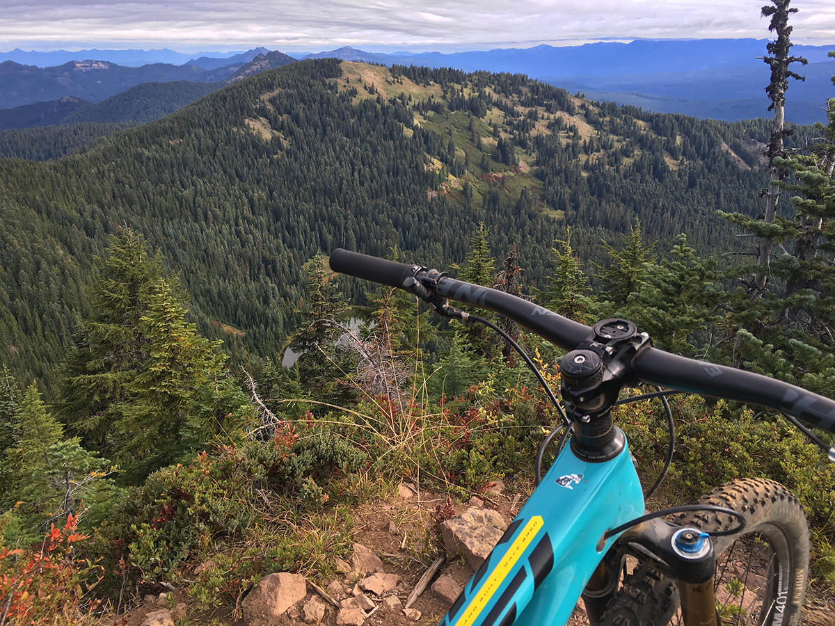
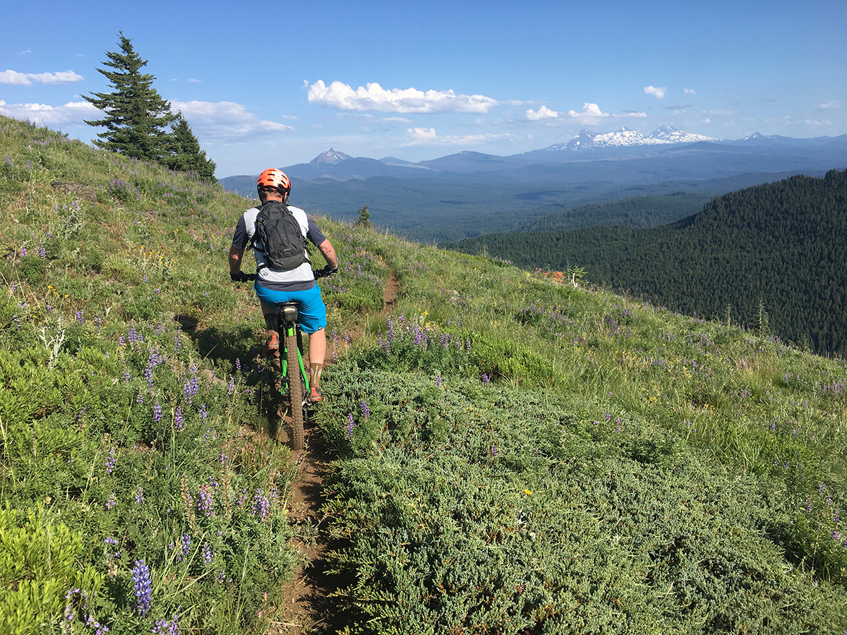
The trail starts out with a ripping fast (but short) downhill from the parking area on the South side, and soon levels out for a few small creek crossings. You will also travel up a very eroded section where the trail acts as a creek at times during the year. The roots provide a nice techy treat if you are into that sort of thing. Shortly after that, the trail starts ascending steadily up the hill with several switchbacks to soften the blow. Eventually you pop out into a vast meadow where the trail grade flattens out slightly and you will see some amazing views of the surrounding foothills and the Cascades.
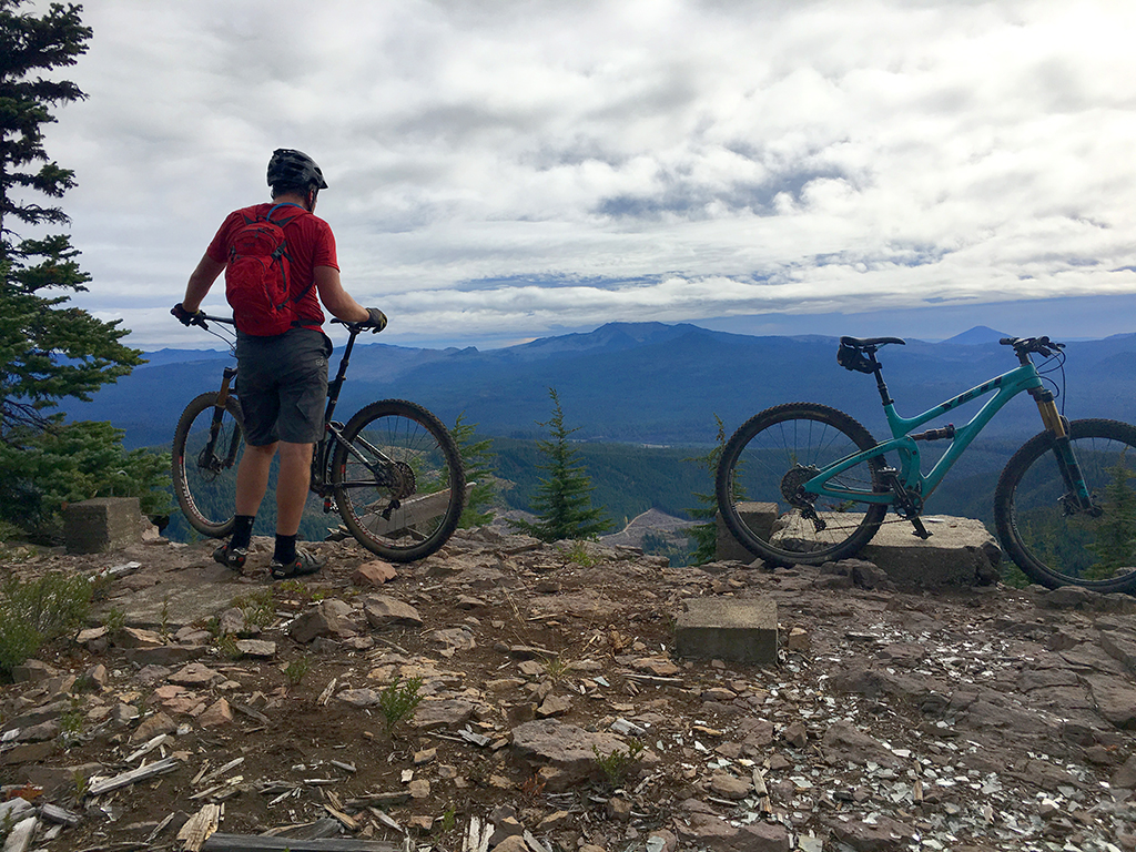
Once past the meadow, the trail returns to more brutal grades again and ascends into more old growth. After a short distance of tough climbing, there is a spur trail about 200 feet long which will head up onto the rocky and exposed summit.If you don’t turn right at the spur, you the trail continues, but we have that listed as Crescent Mountain North for ease of updating.
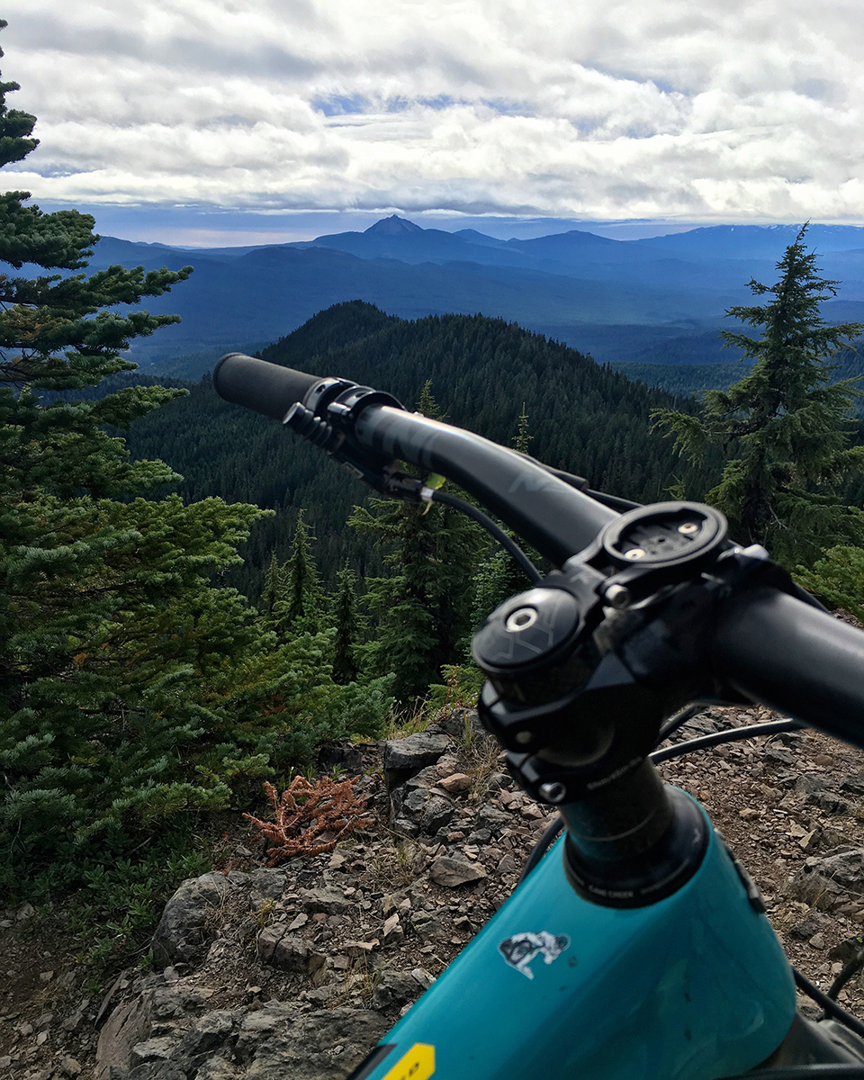
The view is incredible! You will see remnants of where a lookout once stood, and you can walk along the top of the ridge and get a view of some beautiful meadows and the lesser know Crescent Lake below to the North.
If you choose to ride down the trail back to the South it’s a very fun descent, but be wary of hidden rocks in the meadow. The grass can hide the tread at certain times during the summer. We brushed the meadow with Nathan from OTTA using a gas powered brusher just before the Trans-Cascadia race, but that stuff grows back fast.
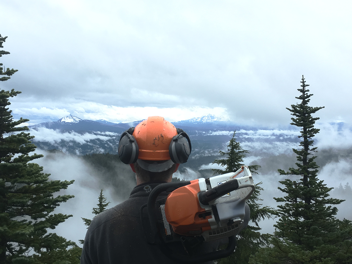
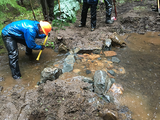
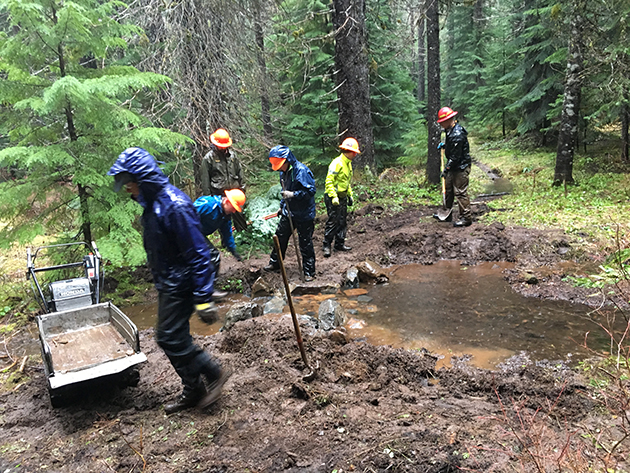
Several of the creek crossings were created using large boulders by the USFS, COTA and SATA in the Fall of 2016.
For some interesting reading – check out this historical account of the Crescent Mountain Fire Lookout: Link
Hit up Horse Creek Lodge & Outfitters if you need a guide or a shuttle to Crescent Mountain.
Trail Photos


Trail closed per Pyramid Fire.
I believe that Crescent north and south are now open.
?
I rode both crescent north and south two weeks ago and no signs of closure anywhere.
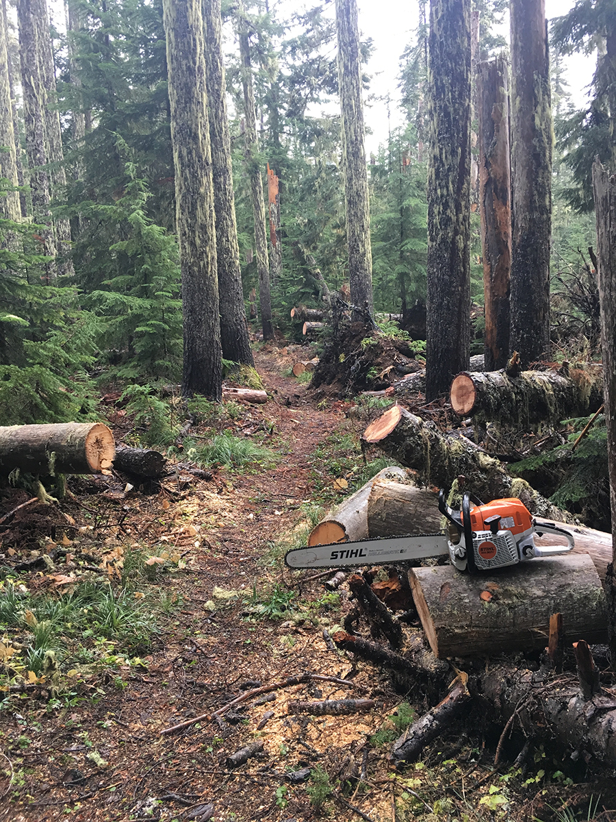
Saturday June 8th: mostly riding well. One small tree (6”) across the trail about a mile in from the trailhead. Then 2 big rotten trees (24-30”) blocking the trail about halfway up the mountain, a little below the open meadow area. Once that upper meadow area enters the forest again there was quite a bit of snow so I turned around right there.
Trail cleared to the top weekend of June 18 2023
Trees at first switchback have been cleared
All clear to the summit
Logging status as Deep Snow – as the snow line is about half way up the trail. Logged out up to that point.
These trails (both Crescent N. & S.) also fall within Bruler fire closure, FYI: https://www.fs.usda.gov/Internet/FSE_DOCUMENTS/fseprd931776.pdf
Be safe out there people.
First 2 miles cleared (thanks Trevor). Unsure above that.
All clear and riding beautifully
Trail clear of blowdown up and through meadow. large section of hike a bike snow on lower end of trail around maude creek. Surely there is snow and probably some more trees down on upper treed area near summit.
Swamped the first 3.5 miles today. Lots and lots of debris down, but only 3 trees, at least to my stopping point at the meadow. 2 trees ~ 12”, 1 tree ~ 24”.
Some snow at the very bottom, and I’m sure there is plenty after the meadow, but none in between.
Thank you! Getting close!
Real close! ??
Real-real close?? You can get past the meadows and a couple hundred feet before the spur to the lookout before encountering a few feet of snow.
Two small trees across trail about 1/2 from summit. Also, one small patch of snow. Other than that riding nice!
Trail cleared by Alpine Running team up to top of meadow where trail heads under the trees again.