Browse The Trails
Pyramids Trail
Trail Snapshot:

Trail Description
E-bikes NOT allowed on Pyramids
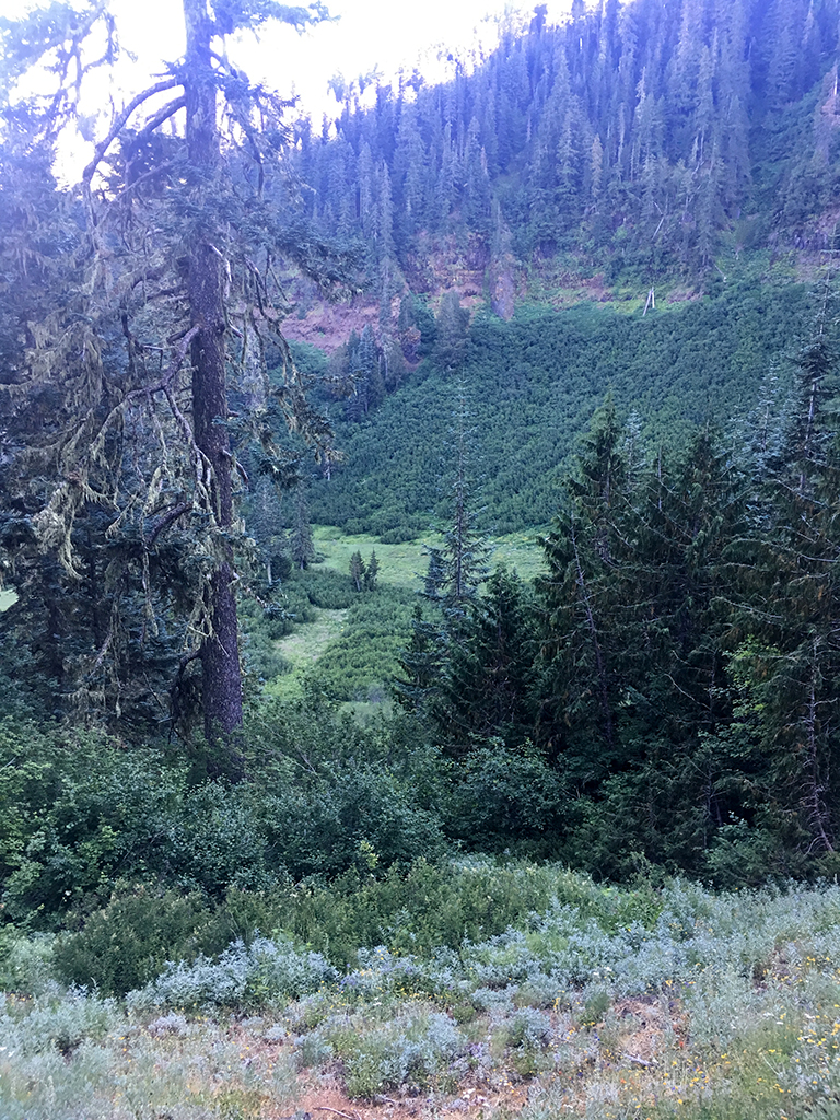
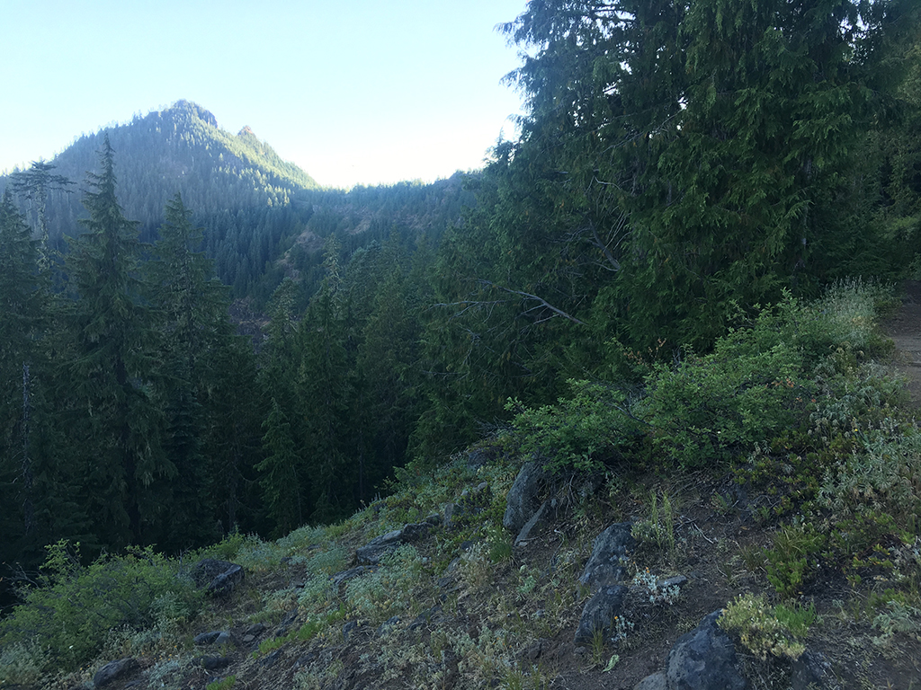
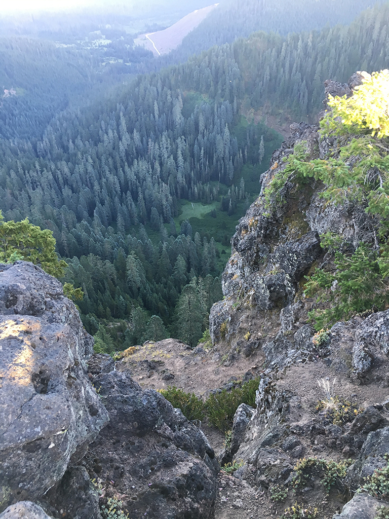
The Pyramids Trail is brutally steep, but ever so scenic as you ascend up to the middle of three pyramids. The bowl that sits inside the pyramids is a sight to behold as you ascend this amazing trifecta.
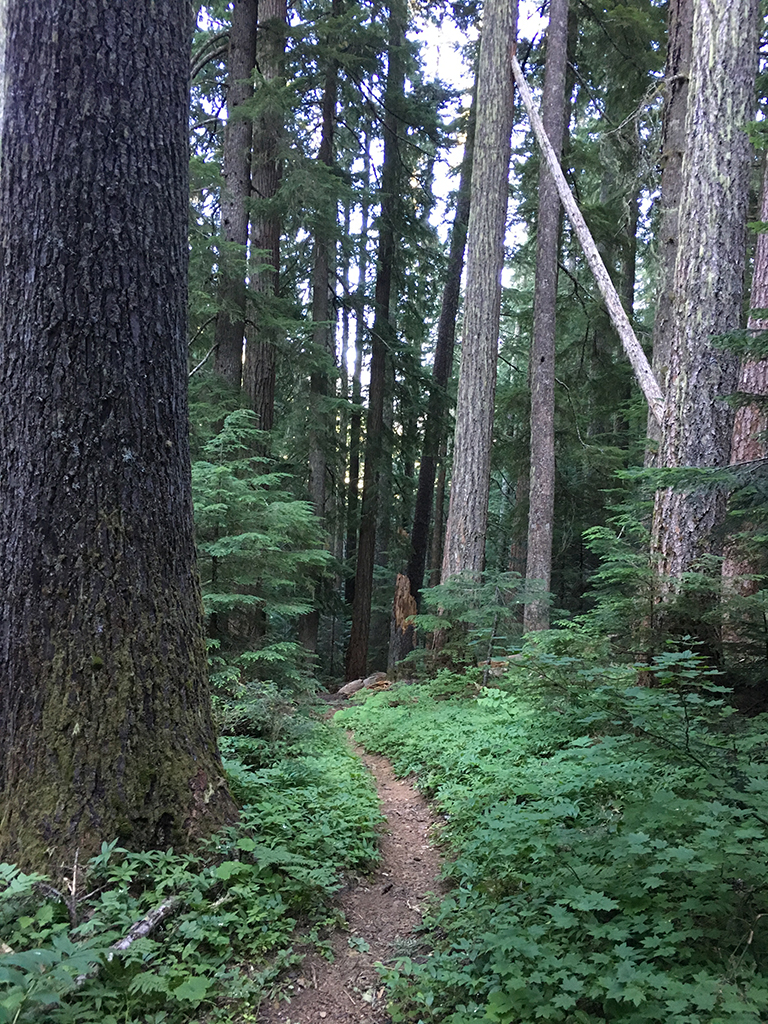
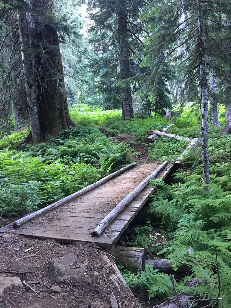
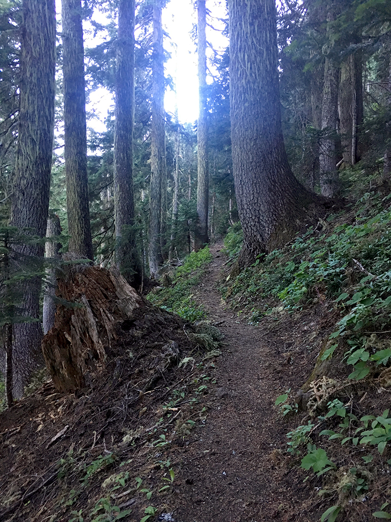
The trail begins at the trailhead along NF-560 which is a large turn-around. Immediately as the trail begins, you will notice a missing bridge and you will need to scurry across South Pyramid Creek which is simple. Once over the creek you will see solid bench cut tread which heads left and right. To the right is Pyramids Trail and to the left is South Pyramid Creek Trail.
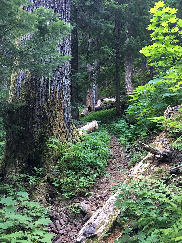
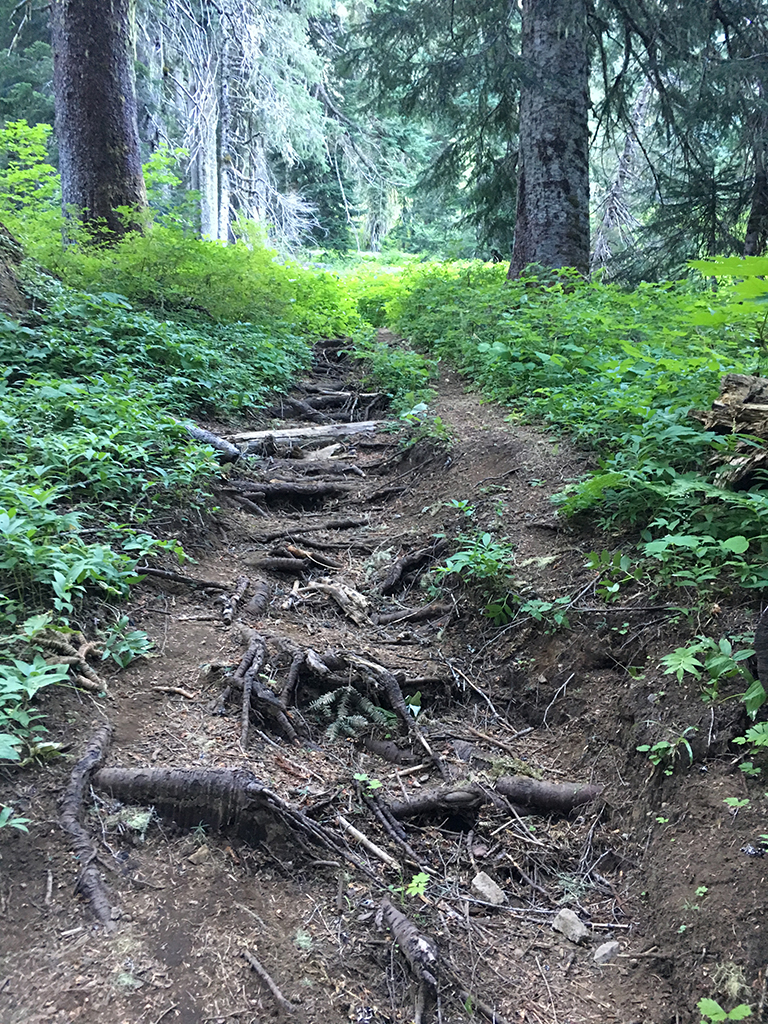
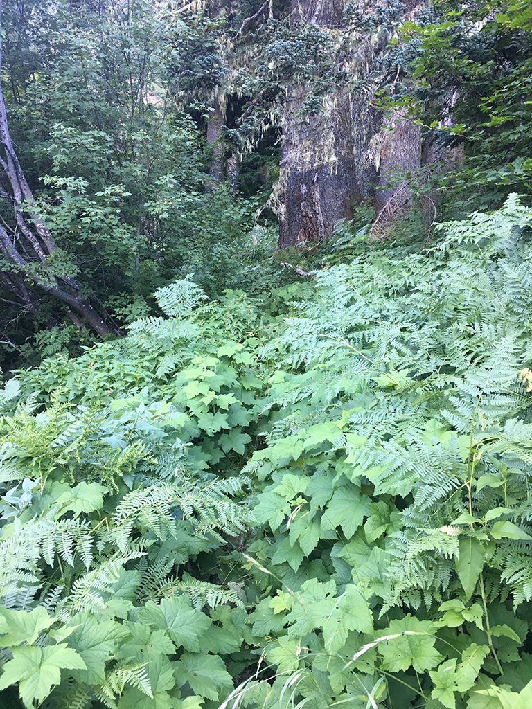
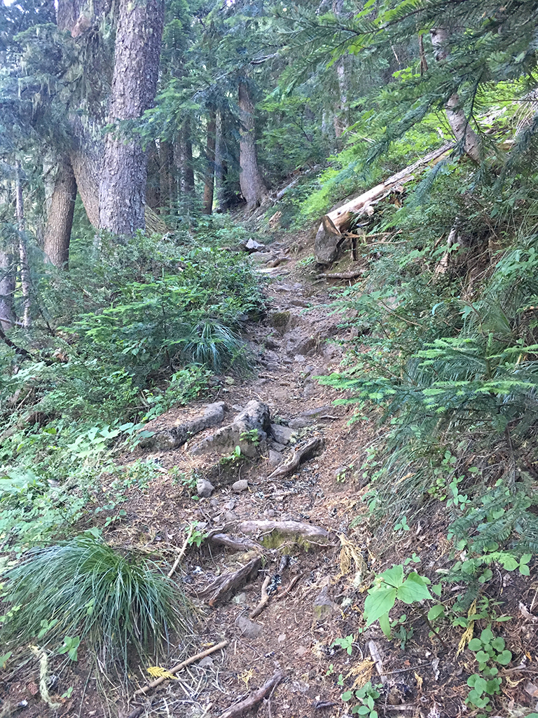
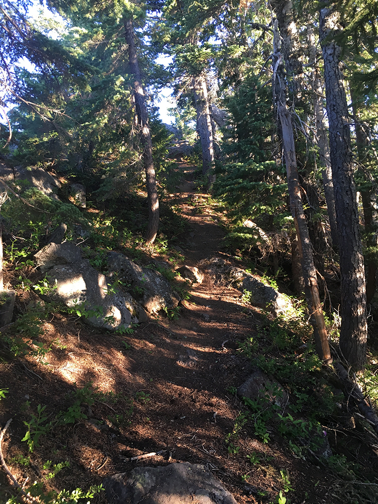
The lower section of trail has some enchanting old growth, and you will hike directly along side Pyramid Creek with its steep drop-off on your right. There’s even a small waterfall you can catch a glimpse of to your right down a steep ravine. Trail is either perfect in spots or severely water damaged as water runs down the trail at certain times of the year. It’s still all magical.
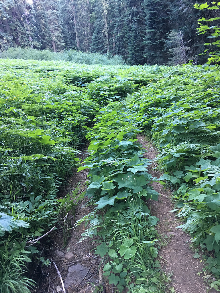
Not far from the bottom the trail heads through a meadow which has some real tread problems. This is the area that we are most likely re-routing and for good reason.
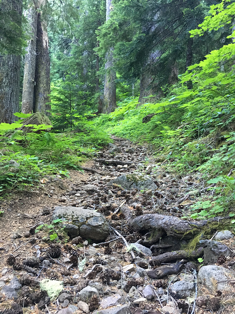
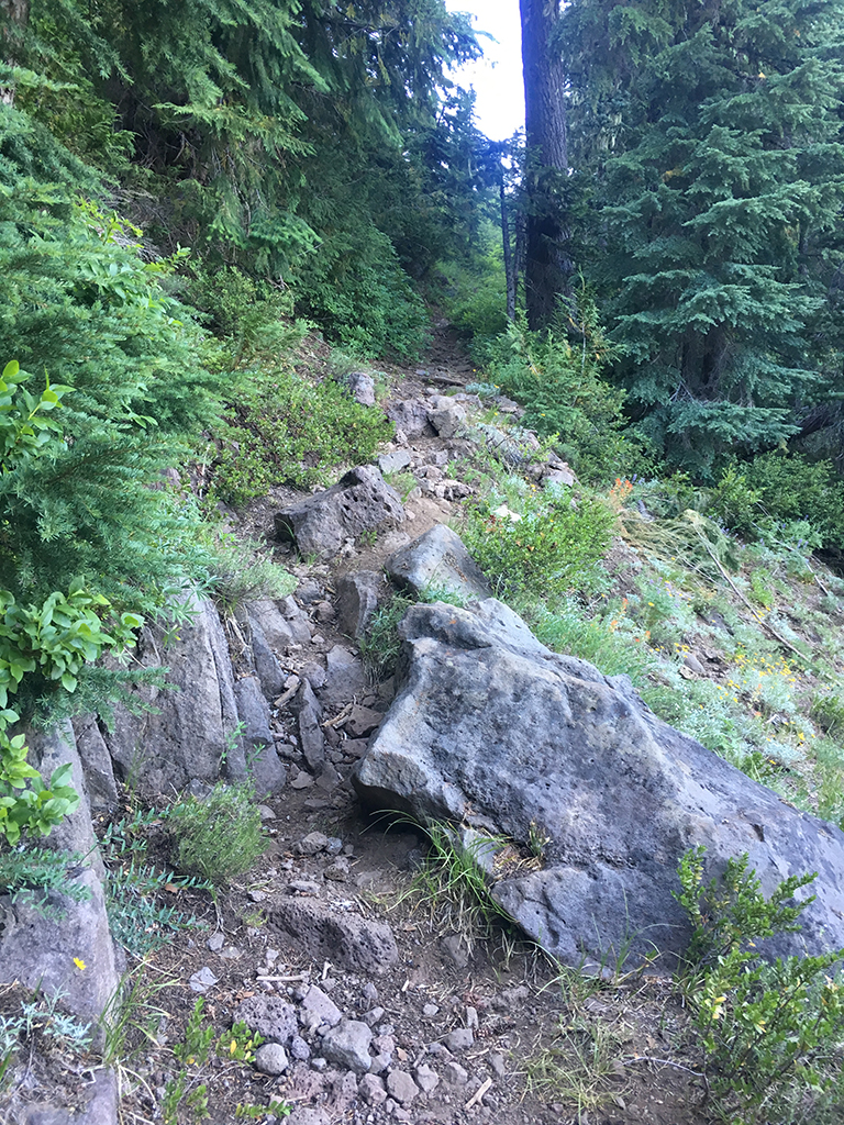
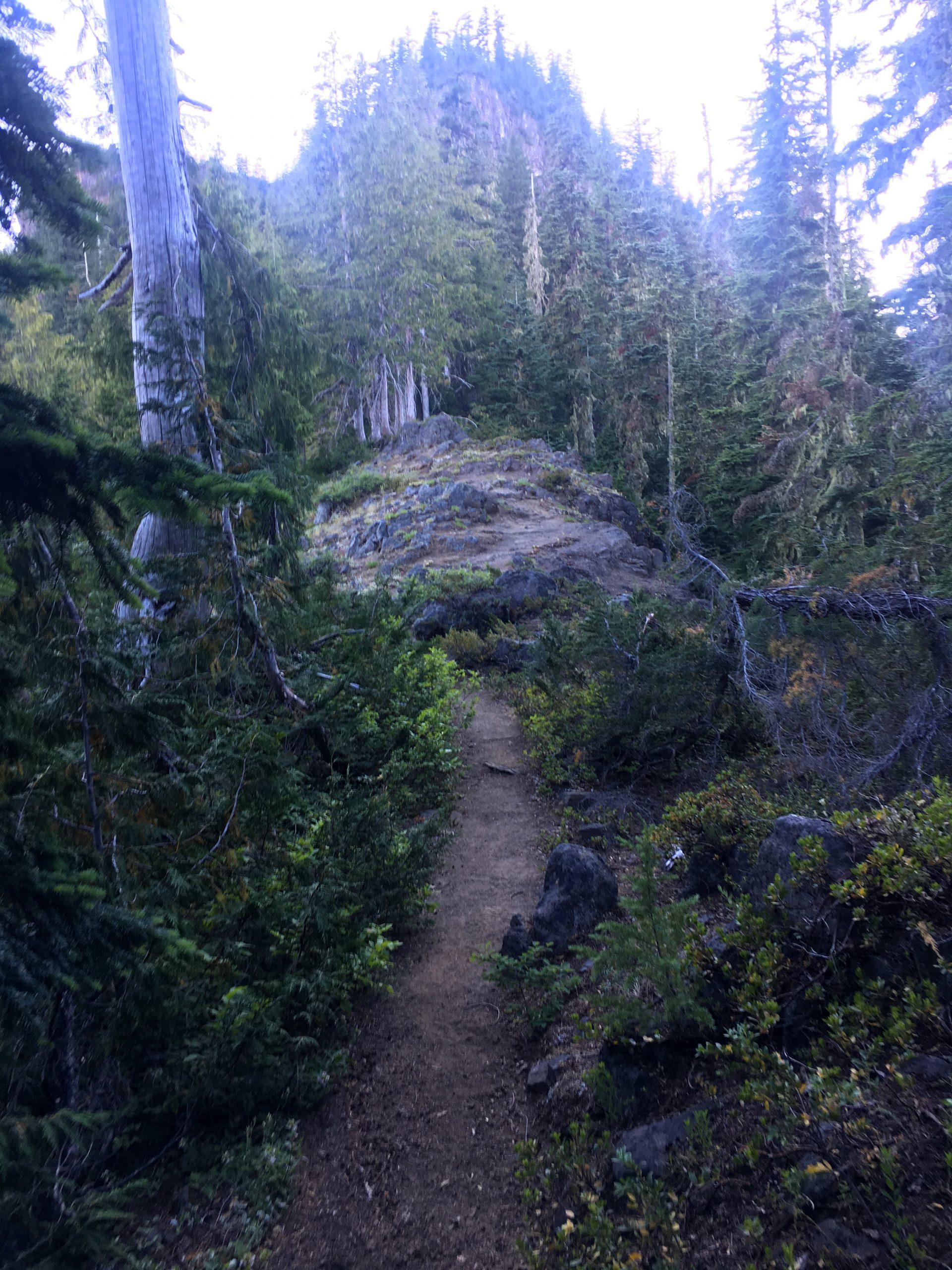
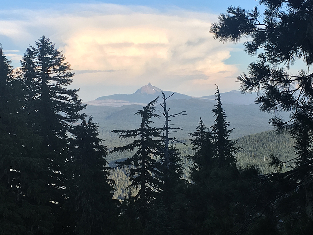
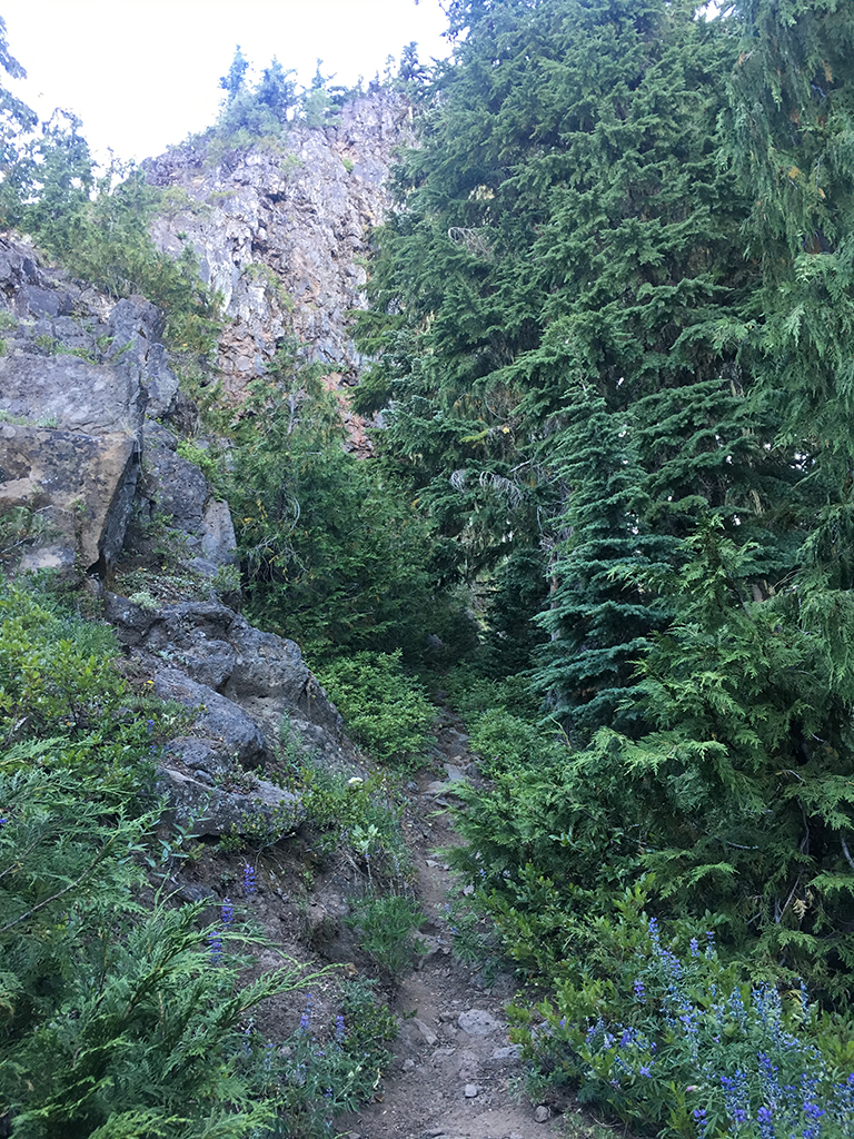
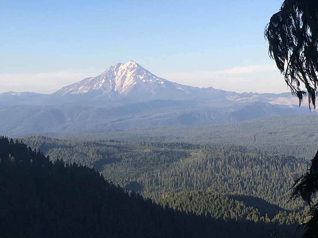
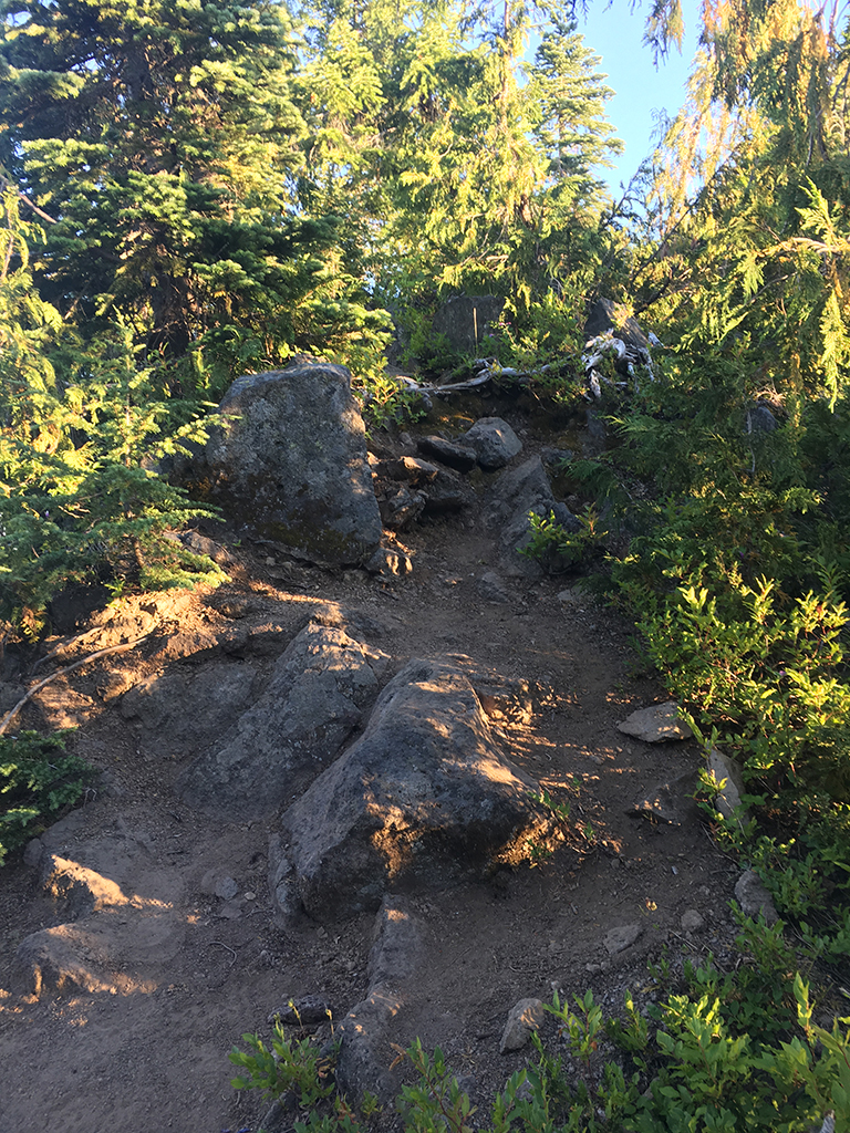
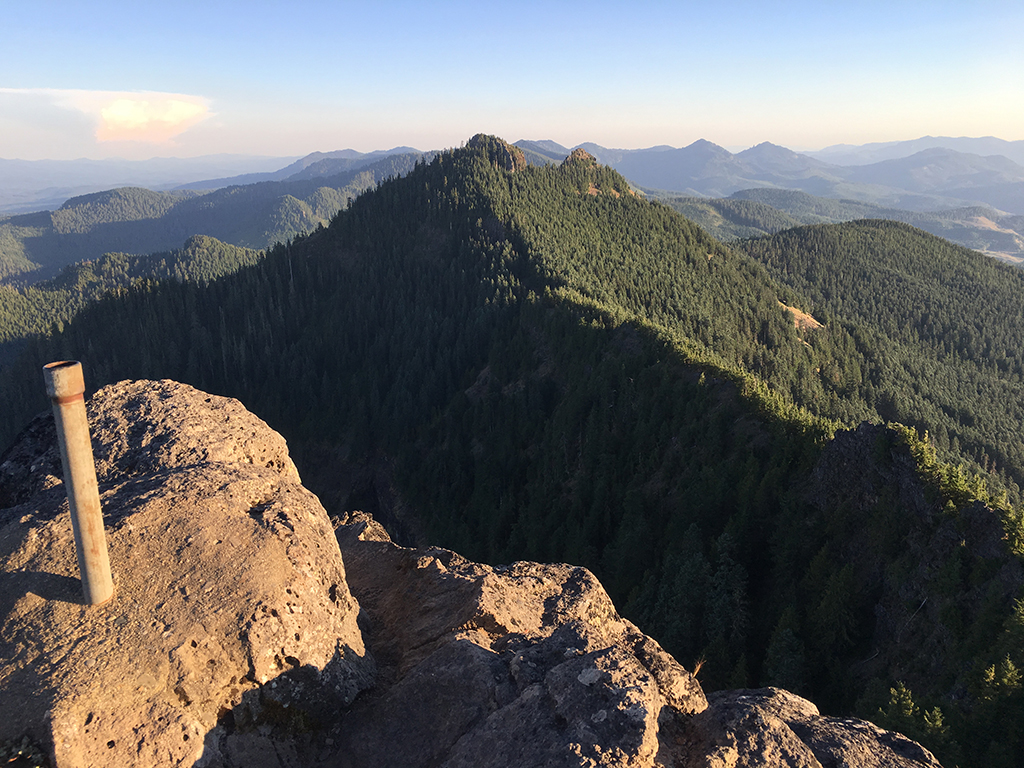
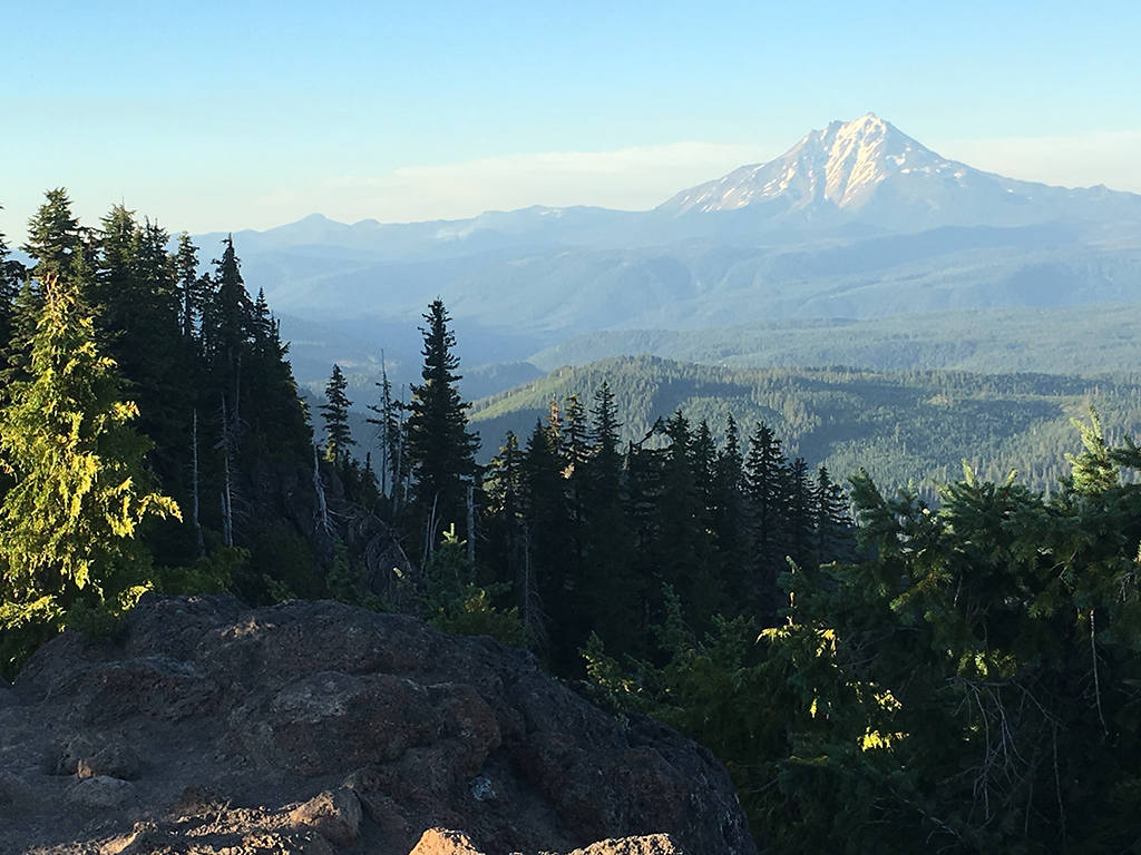
This is the steepest, rockiest and the most technically challenging trail along the Cascade Crest Loop. On the top of this trail there’s an intersection with the North Pyramid Trail as well as a stub that takes you up to the very peak where you will be treated to some of the most amazing 360 degree views in all of the Cascades.
Trail Photos


Trail closed per Pyramid Fire.
Trail cleared June 18th. Not sure of snow – but assuming it’s minimal.
Should be all clear
Cleared to snow line.
Trail currently closed via Bruler fire closure map.
Hiked up to second switchback and no snow and no deadfall. Time limits – but looking better than it did last year.
Trail has been logged up to snow level
New work event which hopefully can re-open this trail to bikes. Thanks Adam craig for organizing. https://bendtrails.org/calendar/pyramids-trail-work-event/
Great work event today with 14 or so people from SATA, USFS, Bend and even Team Dirt. We installed about 20 or more drains in the first 3/4 of a mile below the meadow. I found out today the trail is open to bikes below the meadow only. Which is some super fun terrain.
Total bummer that this is closed. We stashed our bikes in the woods and walked up to the summit just so we’d know what we were missing – a 2 mile HAB up with a chunky, ripping descent back to the TH. The summit was a pretty killer place for a lunch break too.
If you are interested in this trail being re-opened to bikes – there’s a work event on June 4th. Meet at 10:00 am at the Lava Lake Meadow Road 2067, off Hwy 22 between milepost 76 and 77. Expect about 1.5 hour drive from Bend. We will caravan to the Pyramids trailhead from there; this is a good quality dirt road. Please come equipped with food and water to take care of yourself for the day! The Forest Service requires volunteers to have hard hats (we have some loaners), boots, long pants AND LONG SLEEVES, eye protection and gloves. RSVP on Favcebook with Salem Area Trail Alliance or Old Cascadia.