Middle Fork Trail
Trail Snapshot:
Trail Description
E-bikes NOT allowed on Middle Fork
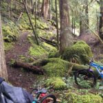
The Middle Fork trail is an all-day epic ride that spans over 30 miles starting at Timponogas Lake and ending at the Sand Prairie Campground outside of Oakridge. The segment highlighted on this map is 21 miles. The trail starts out at 5400′ and is rocky, steep and rooty right out of the gate. As you descend, the trail becomes a bit more flowy and rolling with some tough hill climbs along the way. Similar to the Umpqua and McKenzie River trails, you’ll climb up and down the sides of the Willamette River canyon and accumulate a lot of altitude along the way.
Included in this segment is a brand new section near the base of Young’s Rock, which adds some nice elevation and replaces a section of the trail which was previously a road grind.
Because it’s so remote, plan to bring extra food and water, and expect that you won’t have any cell coverage along the way. In the upper elevations the summer mosquitos can be really bad, so plan for that also.
As you near the end of the trail you’ll cross some roads and bridges which can make the trail hard to follow so check the map, and keep heading down hill to the finish.


Closed due to the lightning-sparked Moss Mountain Fire
Open and clear from Sand Prairie to Chuckle. Snow and thick brush above that.
from Cold Creek down to Butcherknife is running well. 1 Downed tree but otherwise fantastic. Likely everything below Butcherknife is running well also.
Report from ranger:
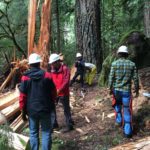
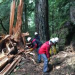
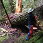
was clear from Sand Prairie to Paddy’s Valley before the last storm but there were a few small ones down when I rode from 2127 to Indigo yesterday. I cut them, but there may be more elsewhere. There is a lot more high water than usual and some flood damage. Just upstream from SP, there is a small lake on the trail with no obvious solution. There is additional damage just downstream from Indigo near Iko Creek from the river jumping its banks onto the trail. USFS crew will work on that area in June.
Snow should be gone now but I hear there are trees down. Might be cleared today by FS crew.