Browse The Trails
Gordan Peak Trail
Trail Snapshot:

Trail Description
E-bikes NOT allowed on Gordan Peak
Gordan Peak Trail runs from 178 Road down to meet the Chimney Peak Trail on the South end.
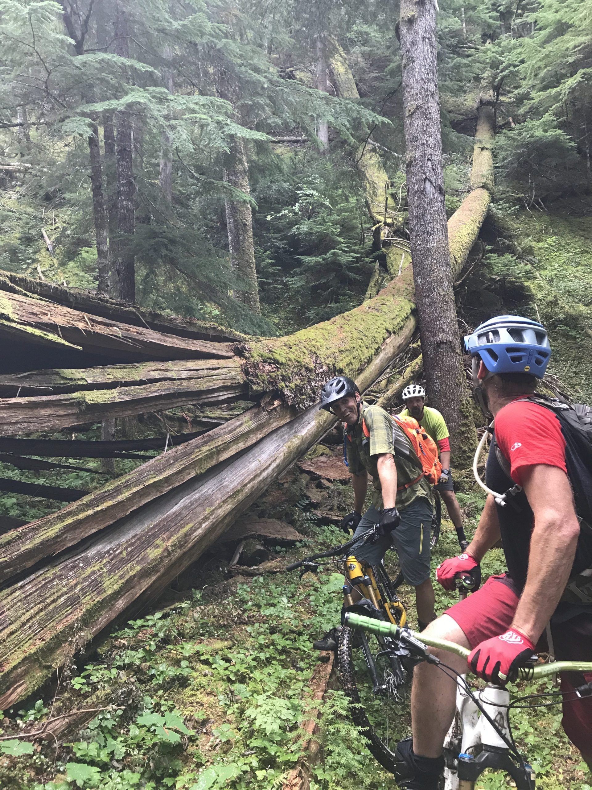
Note that this section of trail is part of the Oregon Timber Trail. We worked with the folks at the OTTA as well as Trans-Cascadia to get this section of trail cleared and rehabilitated in the Summer of 2017. Massive amount of brushing on this trail along with massive overgrowth. We were happy to help the Willamette FS to get these multi-use trails in good shape, now they need more riders to keep the brush in check!
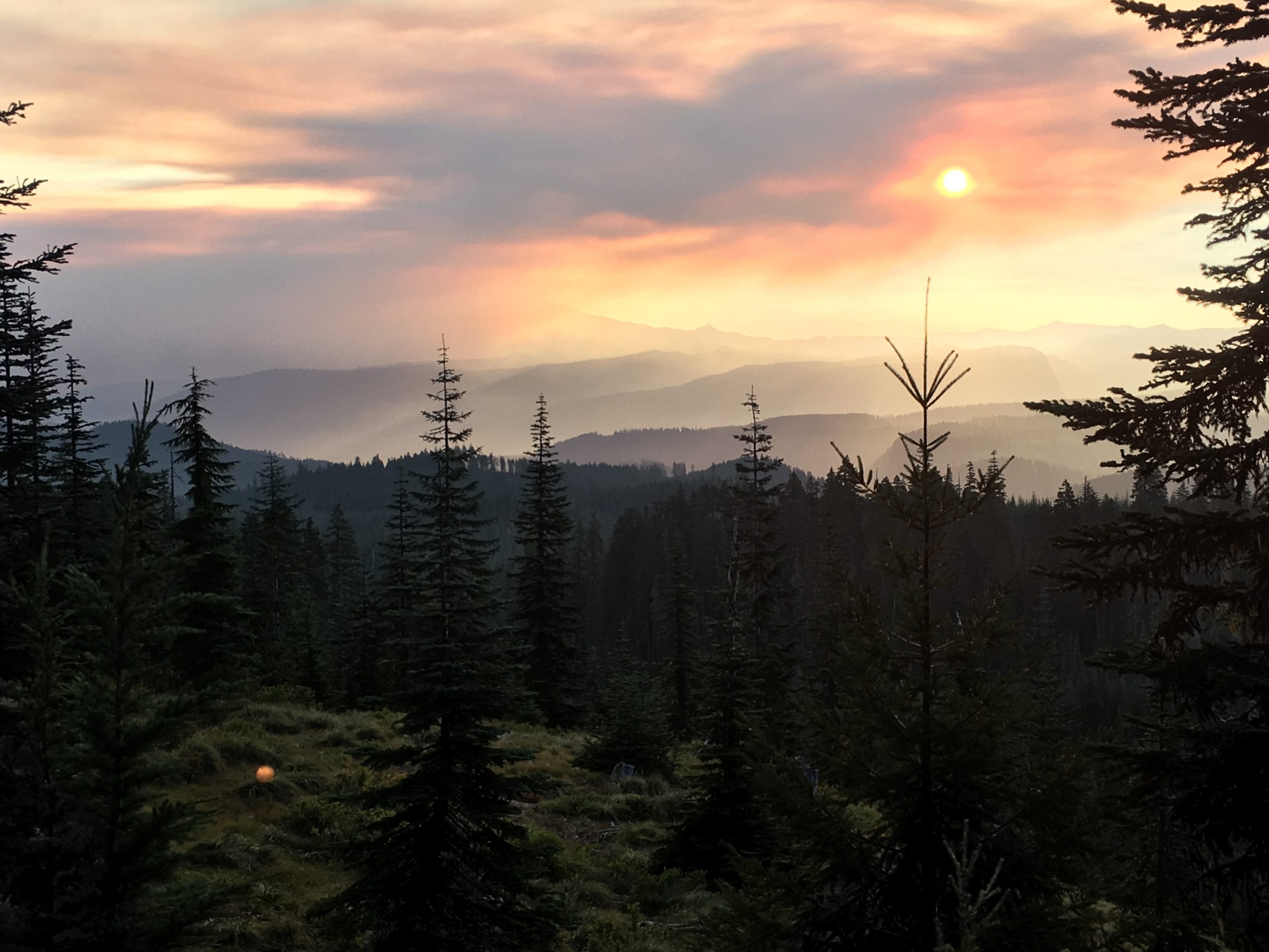
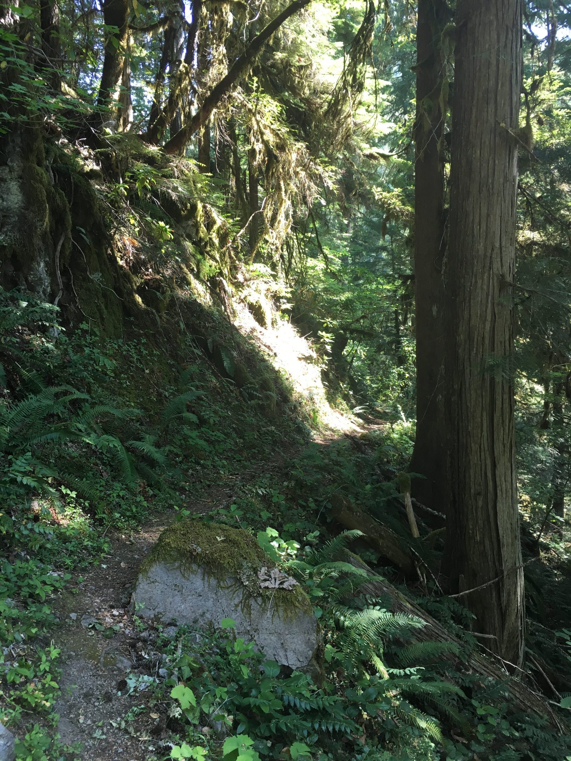
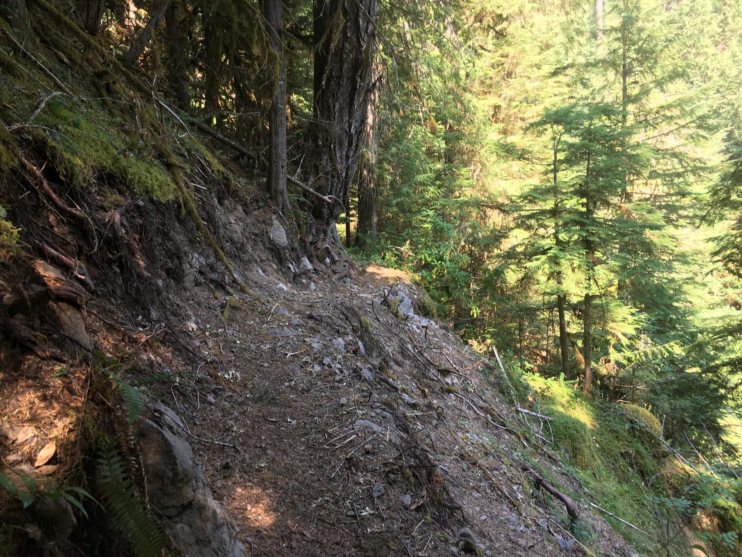
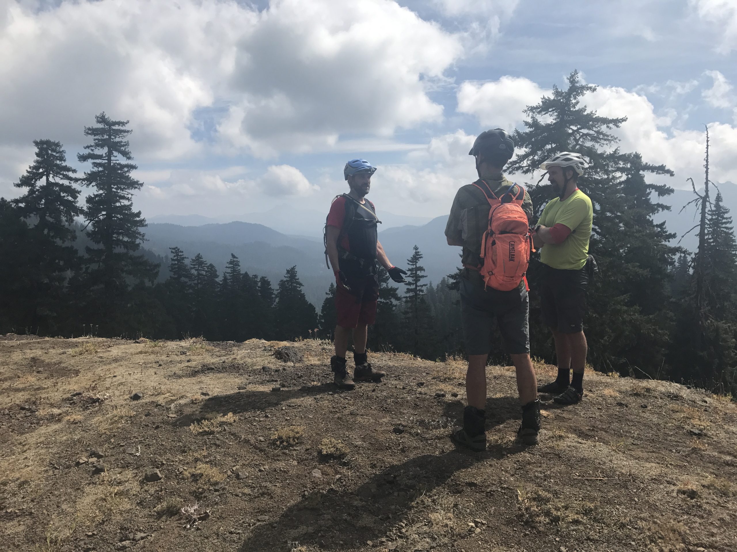
This trail creates the NW side of the Pyramids Epic Loop and winds down through the forest at a reasonable pitch for the most part. At the top you will find an intersection with the Scar Mountain Trail heading to the East. The upper end of the trail doesn’t have the large trees like on the lower end, but does have a nice viewpoint along a ridge after a couple of miles. Here you will find the intersection of the Swamp Peak Trail, which heads uphill for a few miles before entering the Middle Santiam Wilderness.
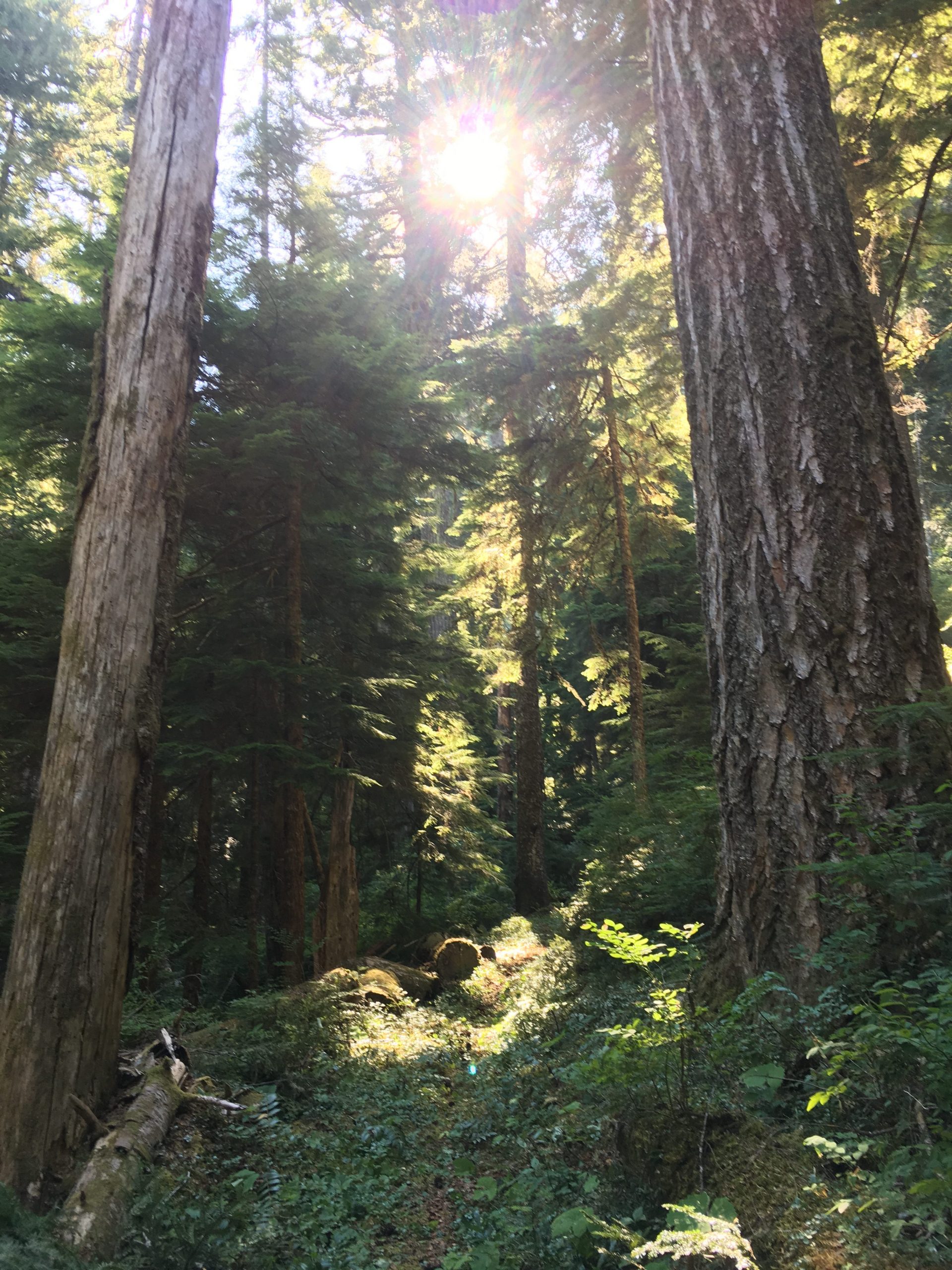
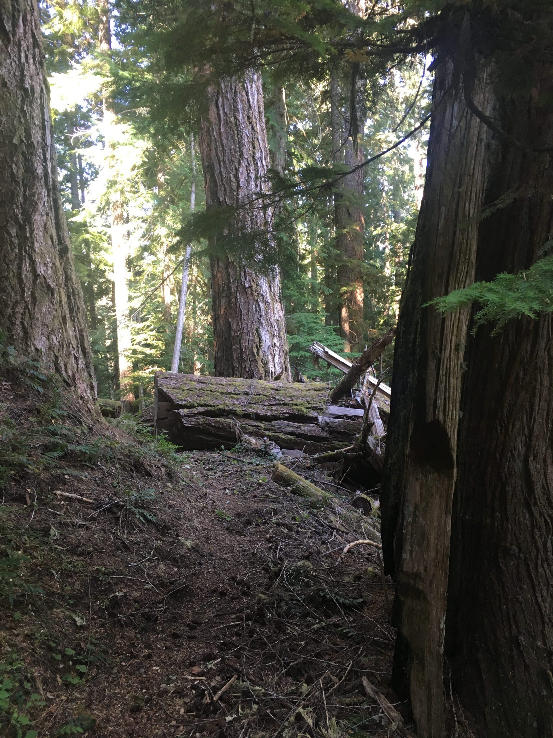
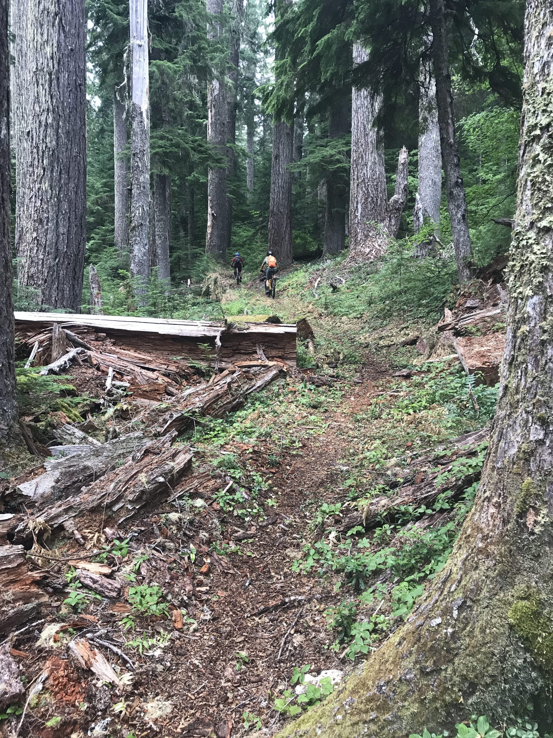
Near the bottom half of Gordan Peak Trail, the grade becomes a little steeper as you make your way down into the amazing old growth forest.
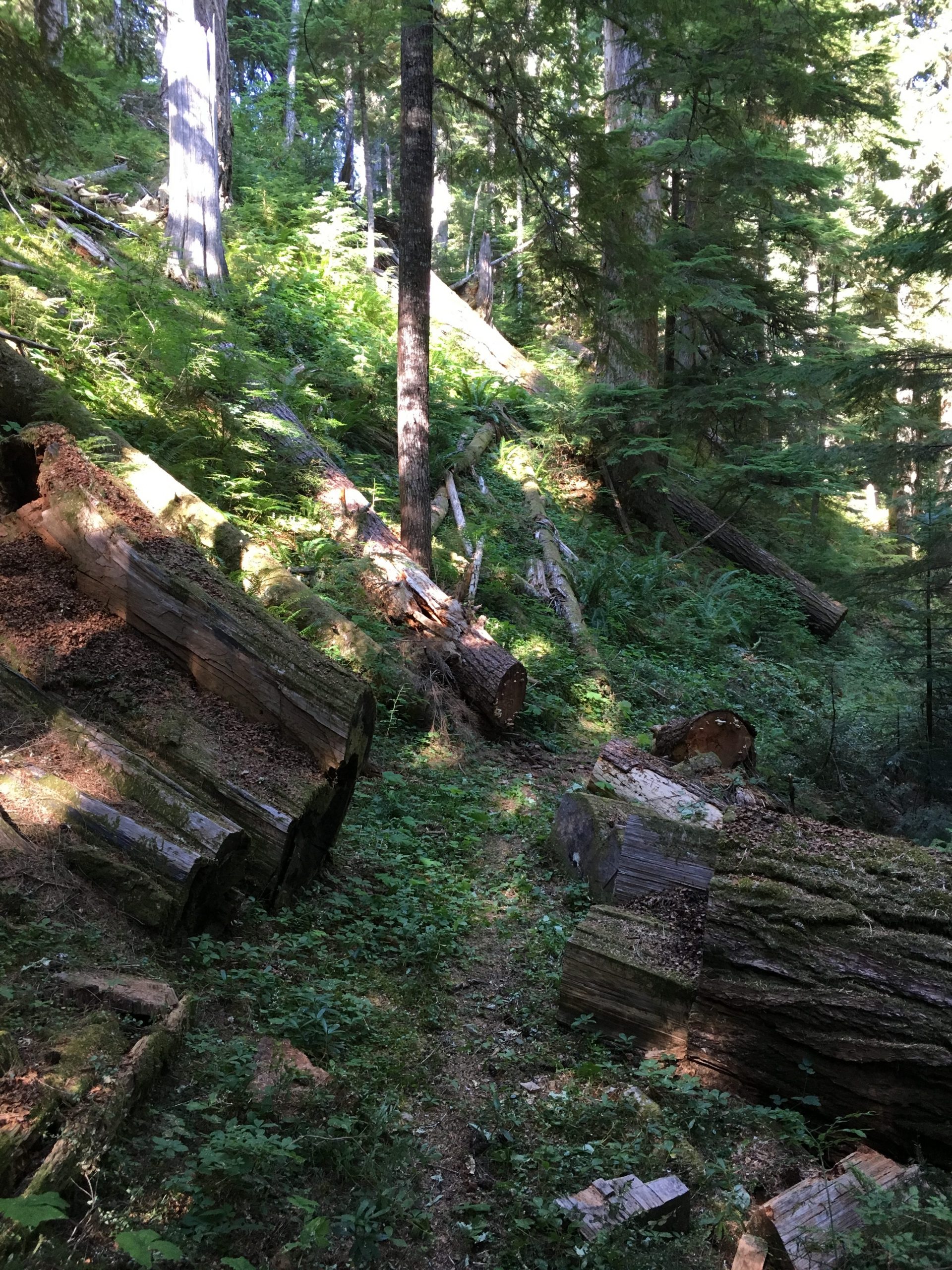
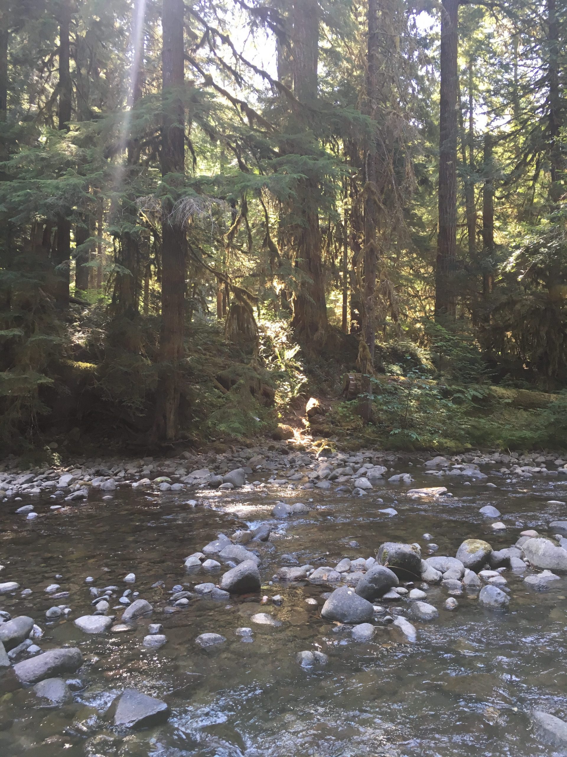
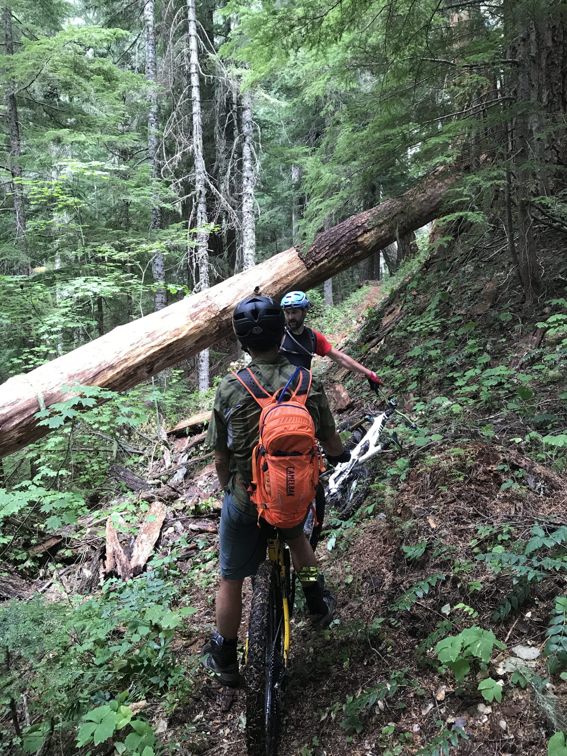
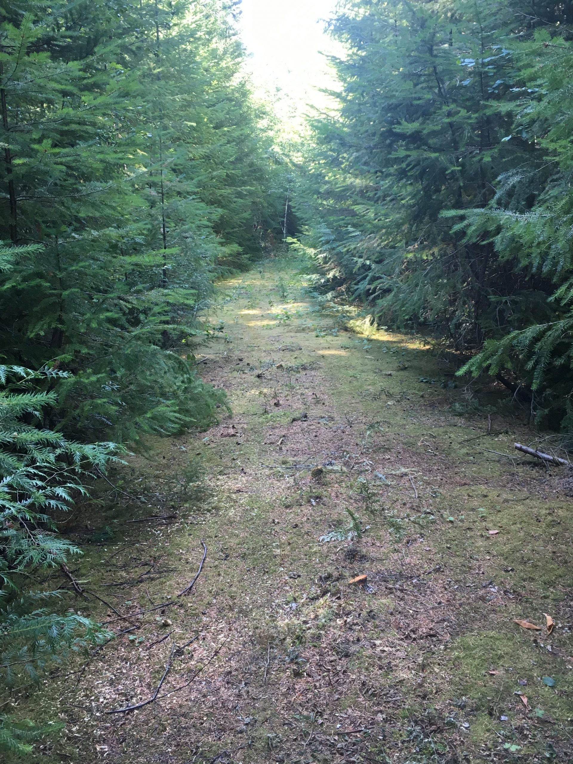
At the lower end of this trail, the official trail enters the Middle Santiam Wilderness, but a route for MTBers was created by the above mentioned groups with the blessing of the USFS to allow for skirting this Wilderness area. This short route brings you onto an old abandoned road and the start of the Chimney Peak Trail. The old road is covered in green moss and we call it the Magic Carpet Ride. A team from Trans-Cascadia got on their asses and cut each and every little baby tree that was growing on this old road.
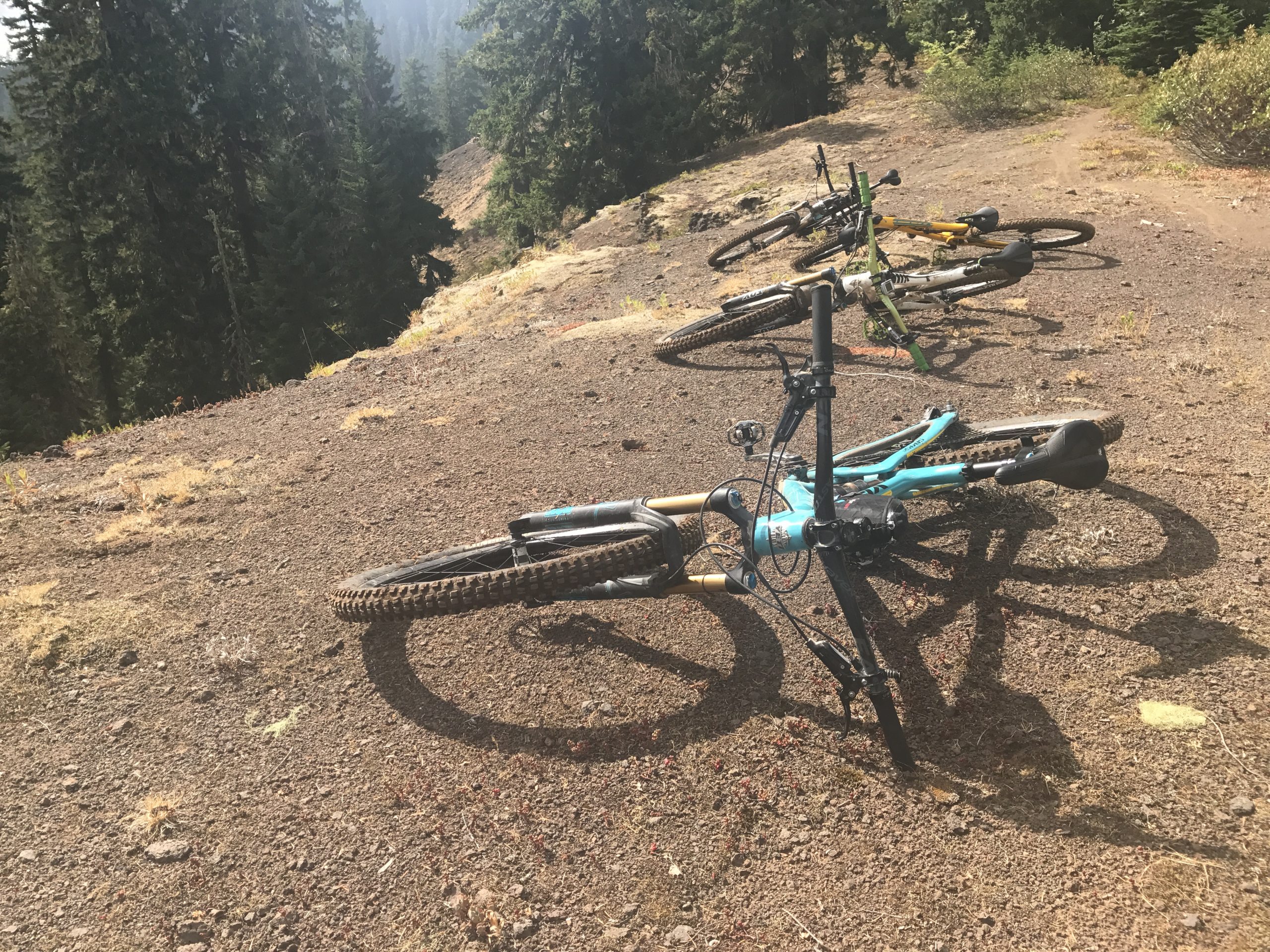
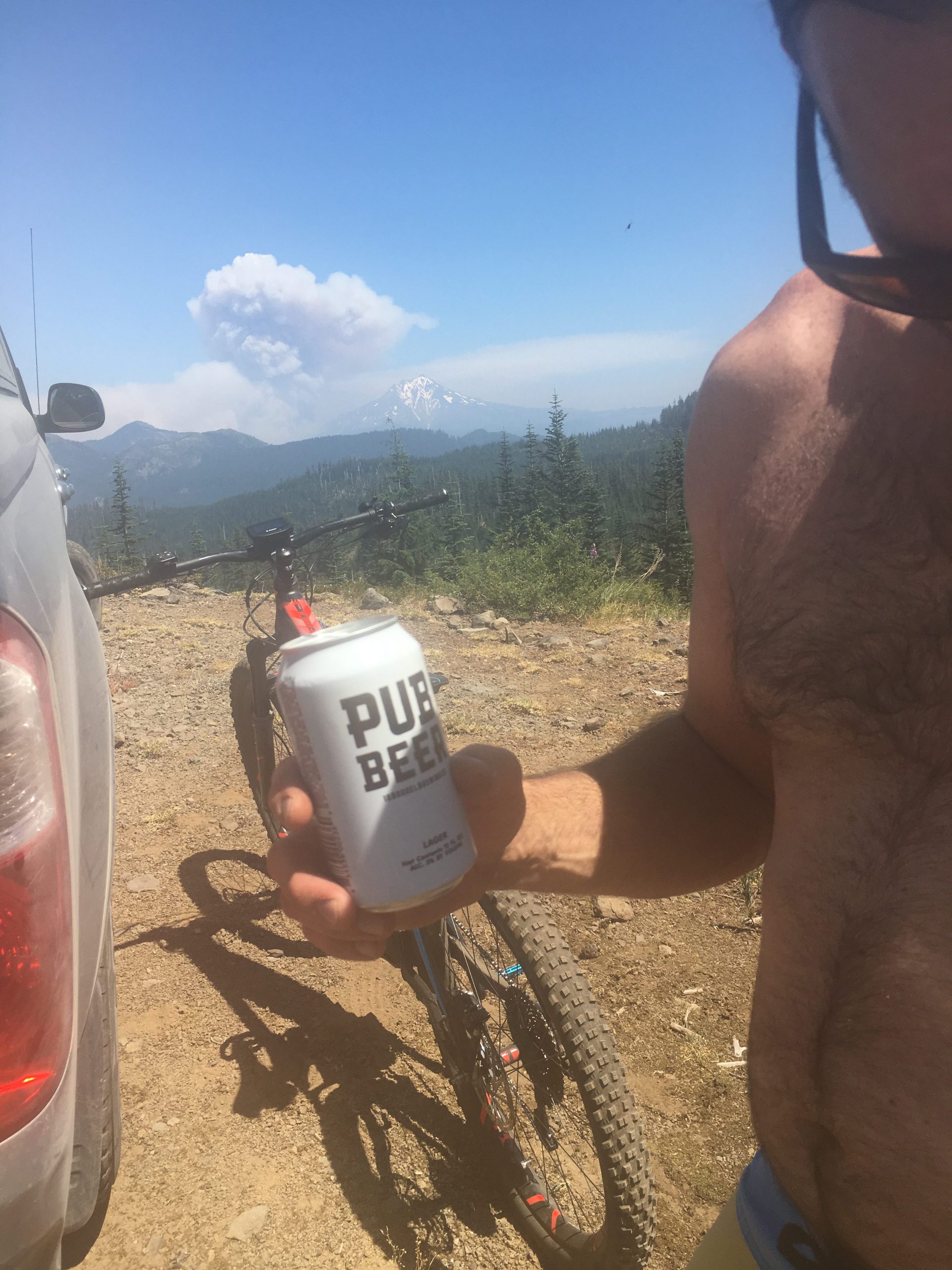
Trail Photos


Trail closed per Pyramid Fire.
All remaining trees logged out yesterday. Great work Nathan, Joe, Gary, Dan, Gabe and Sarah
Trail mostly logged out down to Bike bypass around wilderness. One A level tree left as well as a giant C level tree. Snow still on upper mile or so.
Trail currently closed via Bruler fire closure map.
A couple of trees down. Only one is problematic, a 15’er or so suspended a few feet above the trail a mile or 2 down from Swamp Peak intersection
OCC CREW: clear from the bottom to about 2 miles south of the Swamp Peak junction. Then SNOW
3 trees currently down. 2 above moss road – the largest which is about 24″ (probably the same reported from brian) . A third which is 12″ farther north.
One large (~3ft diameter) and one smaller tree (<12” diameter) a couple miles up from the intersection with the mossy road.
Trail now clear of deadfall.
Rode the loop yesterday, there is a large (3’) tree down about 1-1-5 up from the bottom. It’s fallen on top of the trail, taking out ~30’ foot section.
logged out.
Hey Joe, I’m planning on taking the OTT through this area. How was the tree/trail situation overall? Also, do you know about how far up you hit snow, and how deep?
Here’s the OTT section for reference. https://ridewithgps.com/routes/20726252
Looks like it’s the Crescent/S Pyramid/Chimney/Gordon/Scar trails…
hi Ryan. I think there may be a few trees near the top of crescent mountain which were under snow when things were logged out. Other than that I recall 1 large tree being down near the bottom of pyramid creek which I don’t know the status on and 1 tree on trappers butte. Overall should be pretty good to go.
Trail is clear. Thanks Adam Craig