Browse The Trails
North Pyramid Trail
Trail Snapshot:

Trail Description
E-bikes NOT allowed on North Pyramid
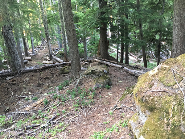
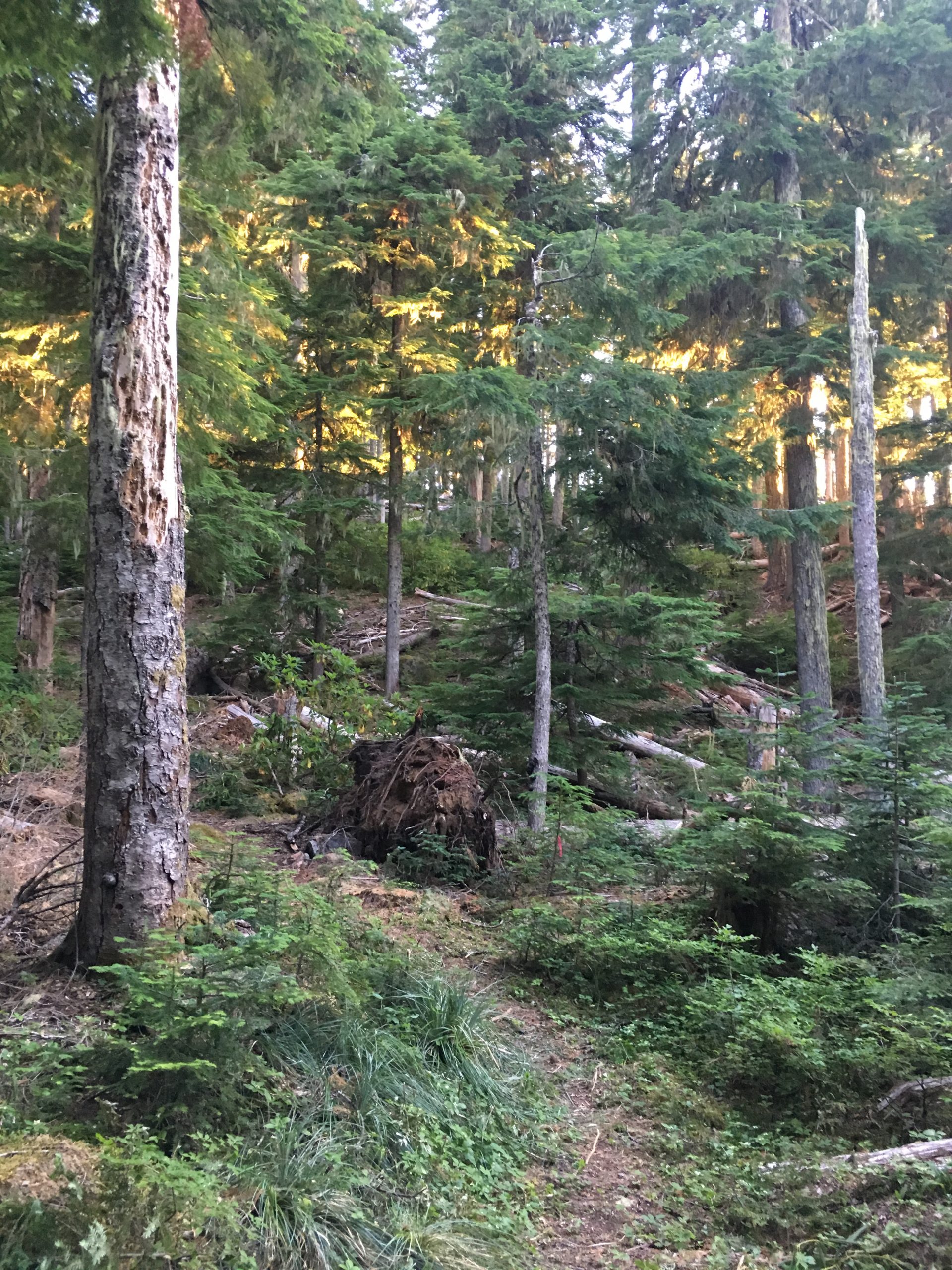
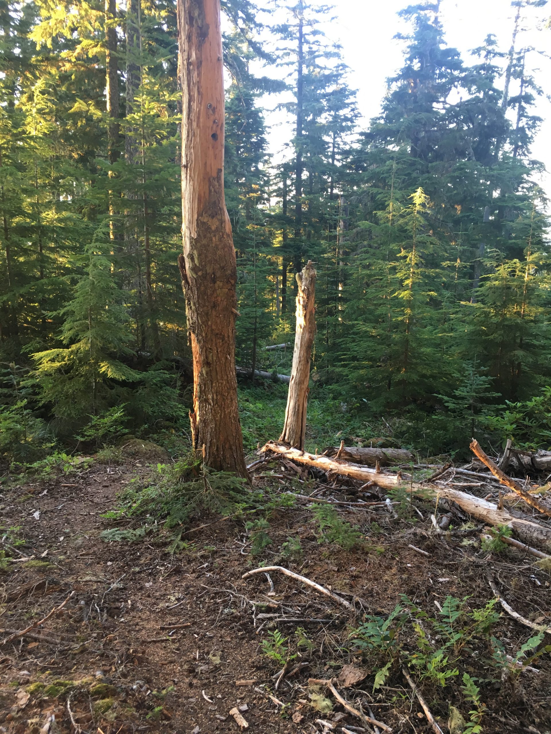
The North Pyramid Trail is another brutally steep climb and ripping fast descent. Not as scenic as its Southern partner, Pyramids Trail, it’s still a gem with old growth charm, a creek crossing, and loads of switchbacks to keep you on your toes!
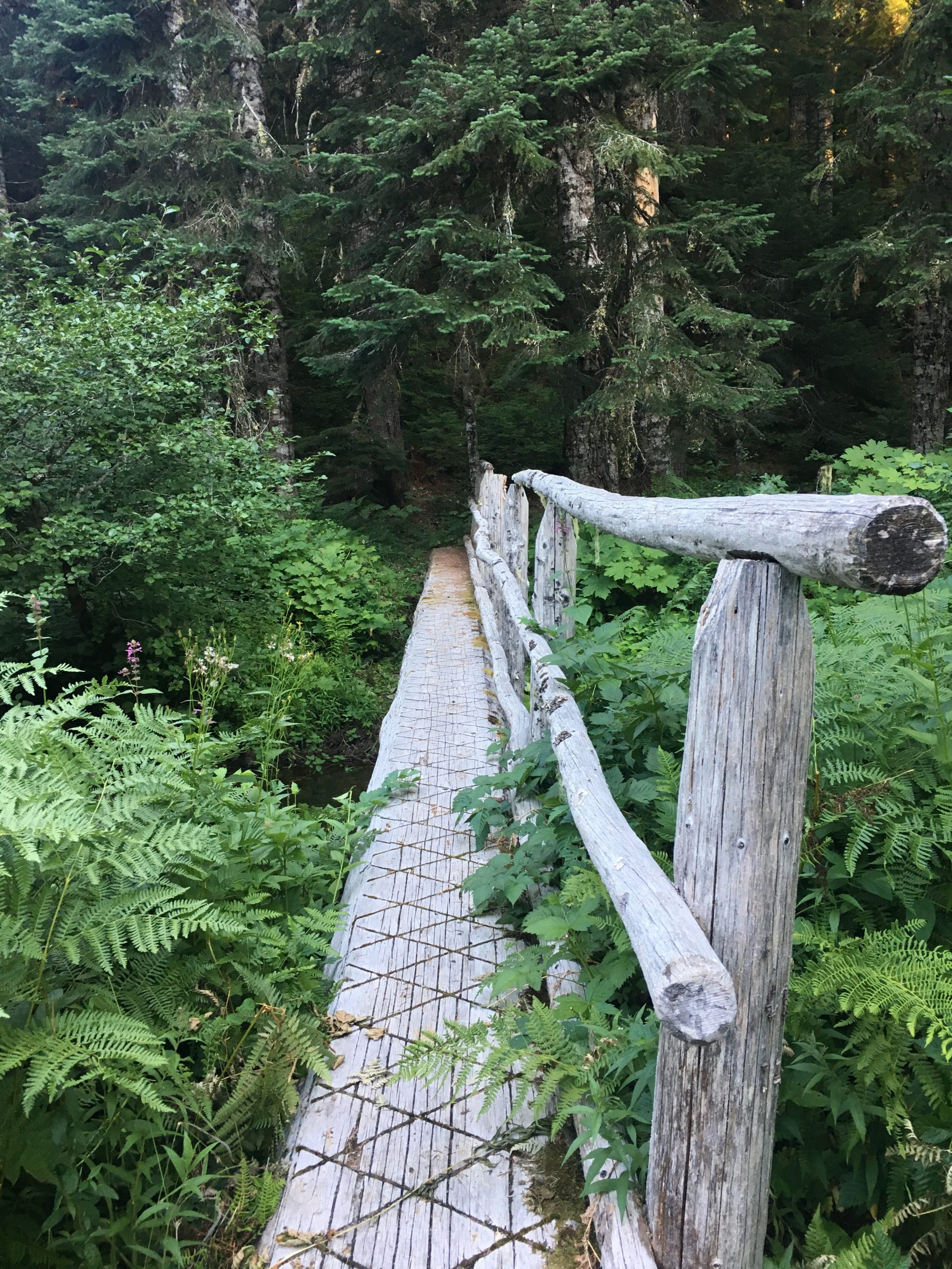
The trail begins along FS Road 2266. Scar Mountain Trail connects on the North side of the road, and North Pyramid heads South in a short descent along what appears to be an old road for a short ways. The trail comes to a bridged crossing along Pyramid Creek within a meadow, and then the climb up North Pyramid commences in earnest.
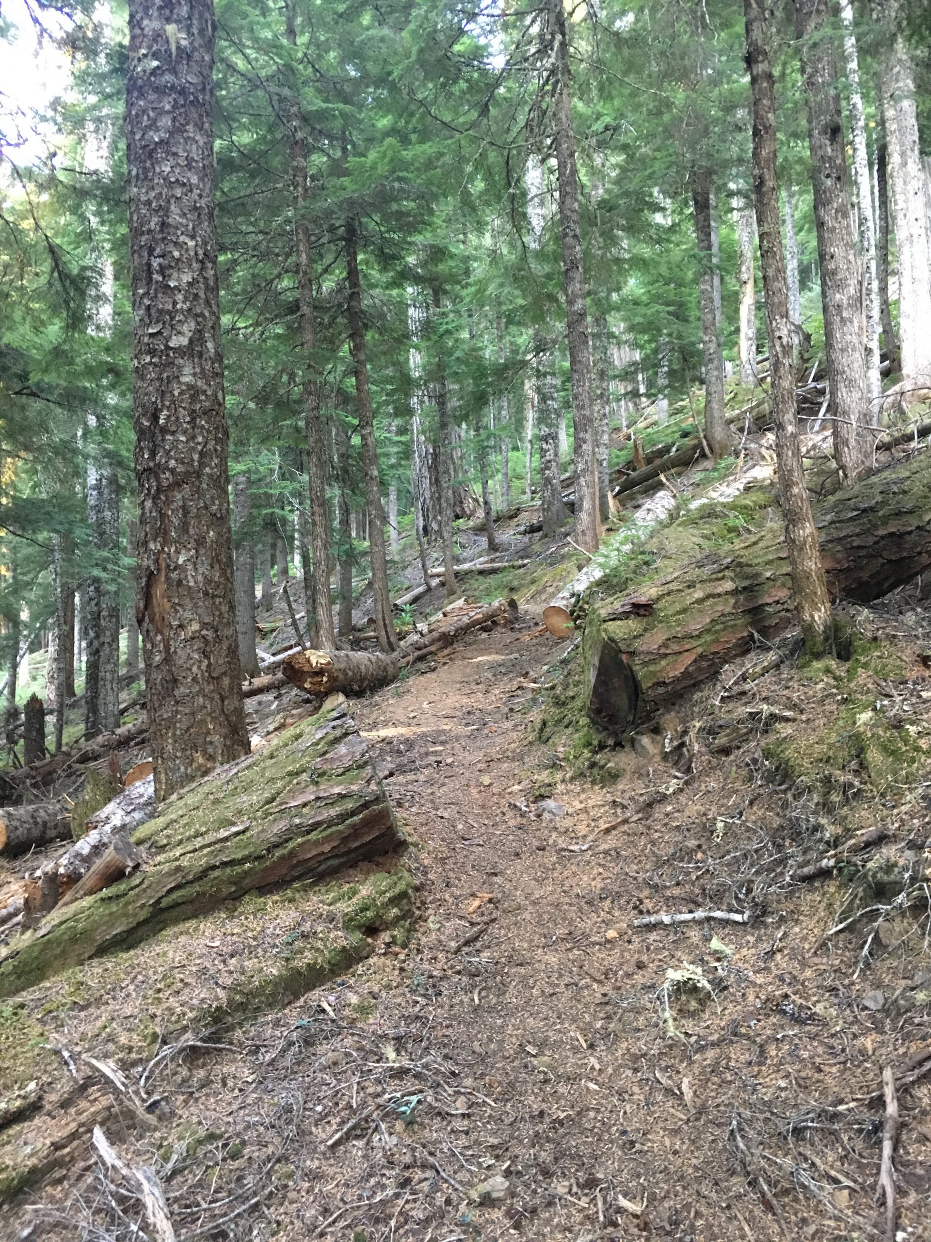
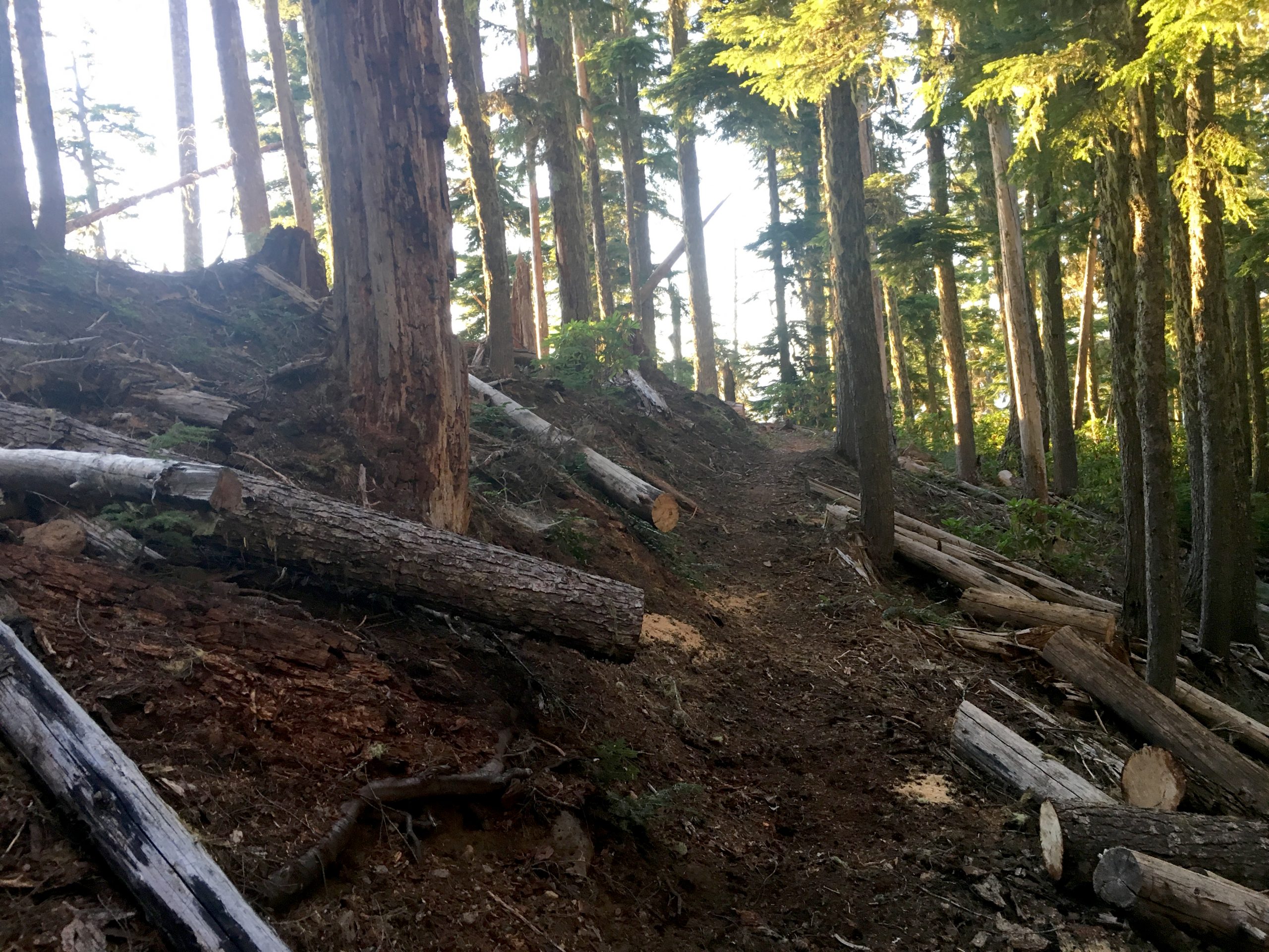
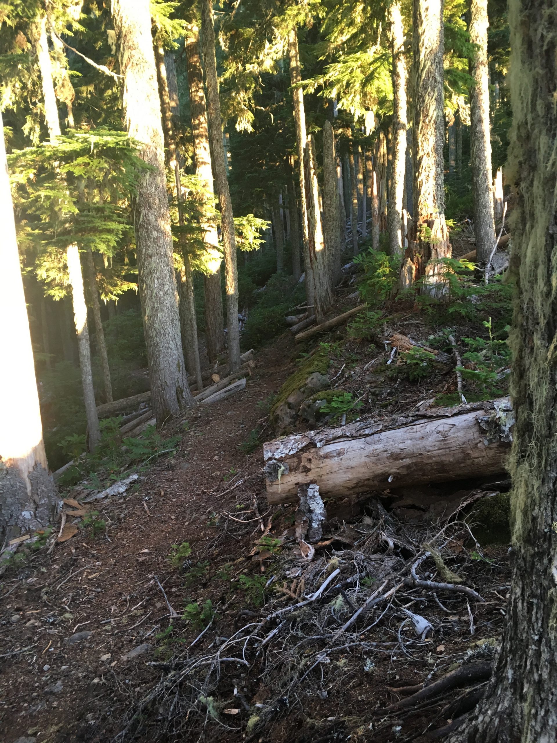
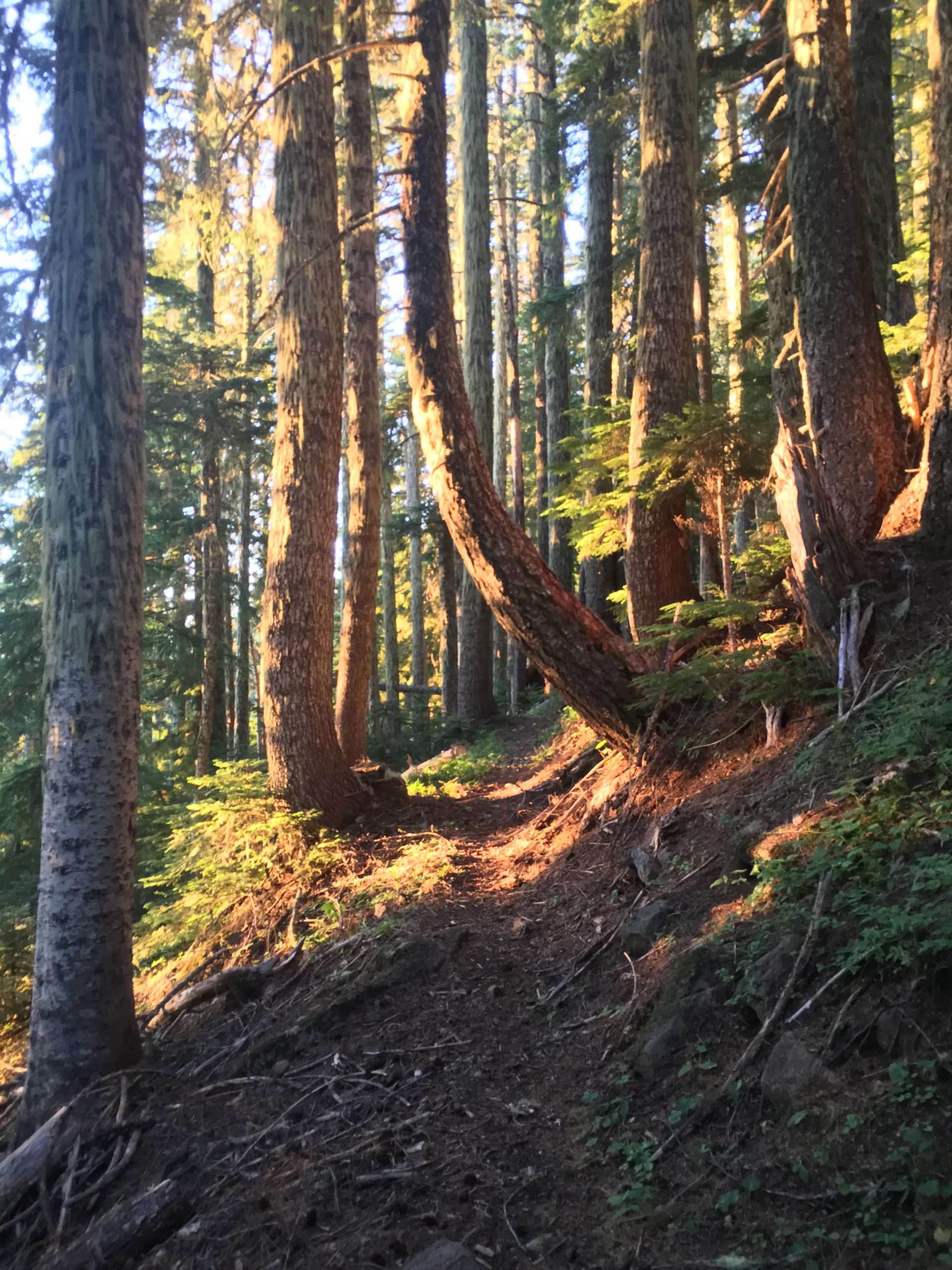
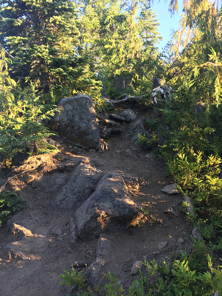
The climb is fairly steady with moderate tech as it begins to ascend the NW edge of North Pyramid. Sadly, the views of the mountain are mostly lacking as you kill yourself trying to make it to the top. But trust me when I say the pain is all worthwhile.
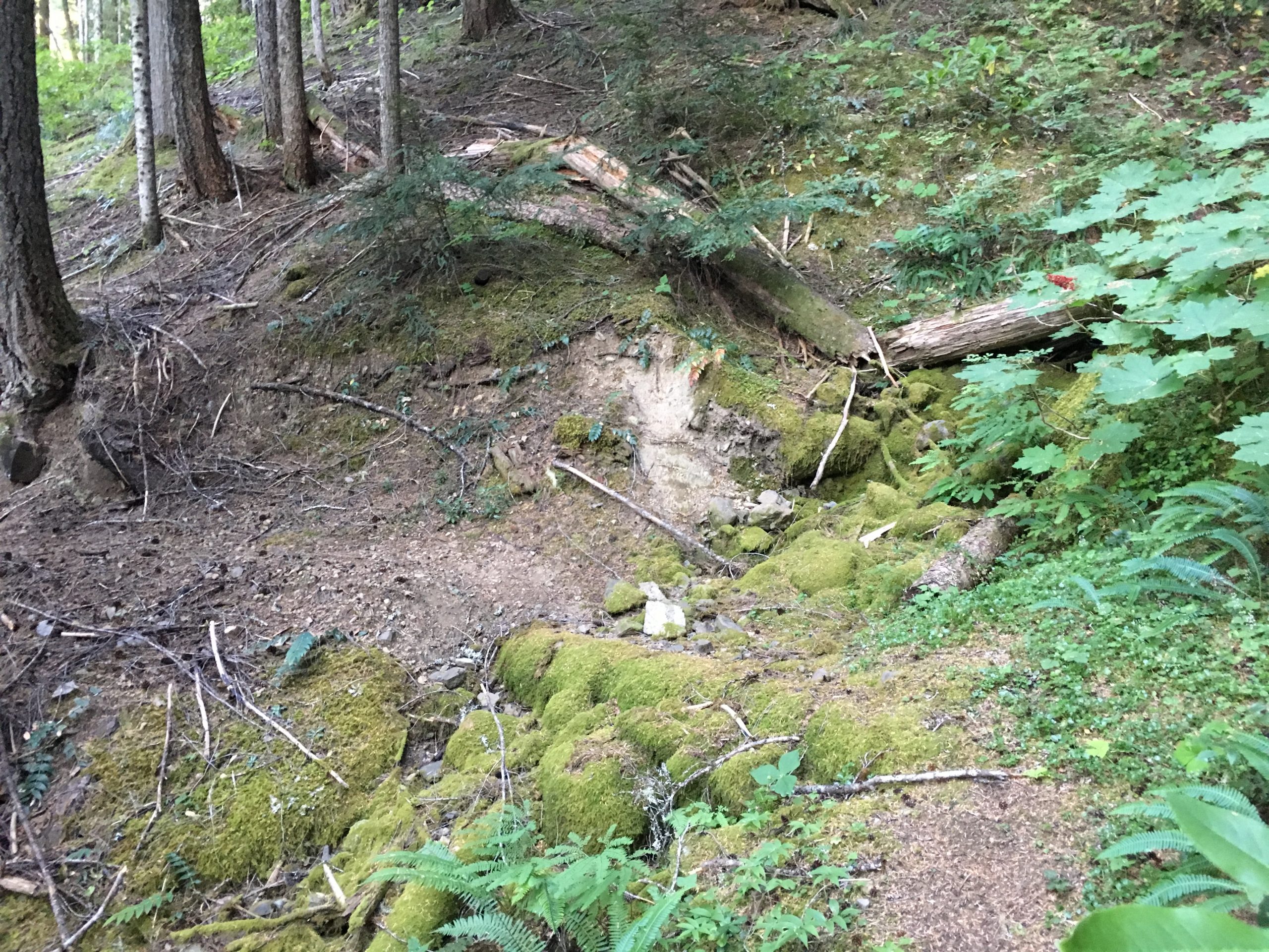
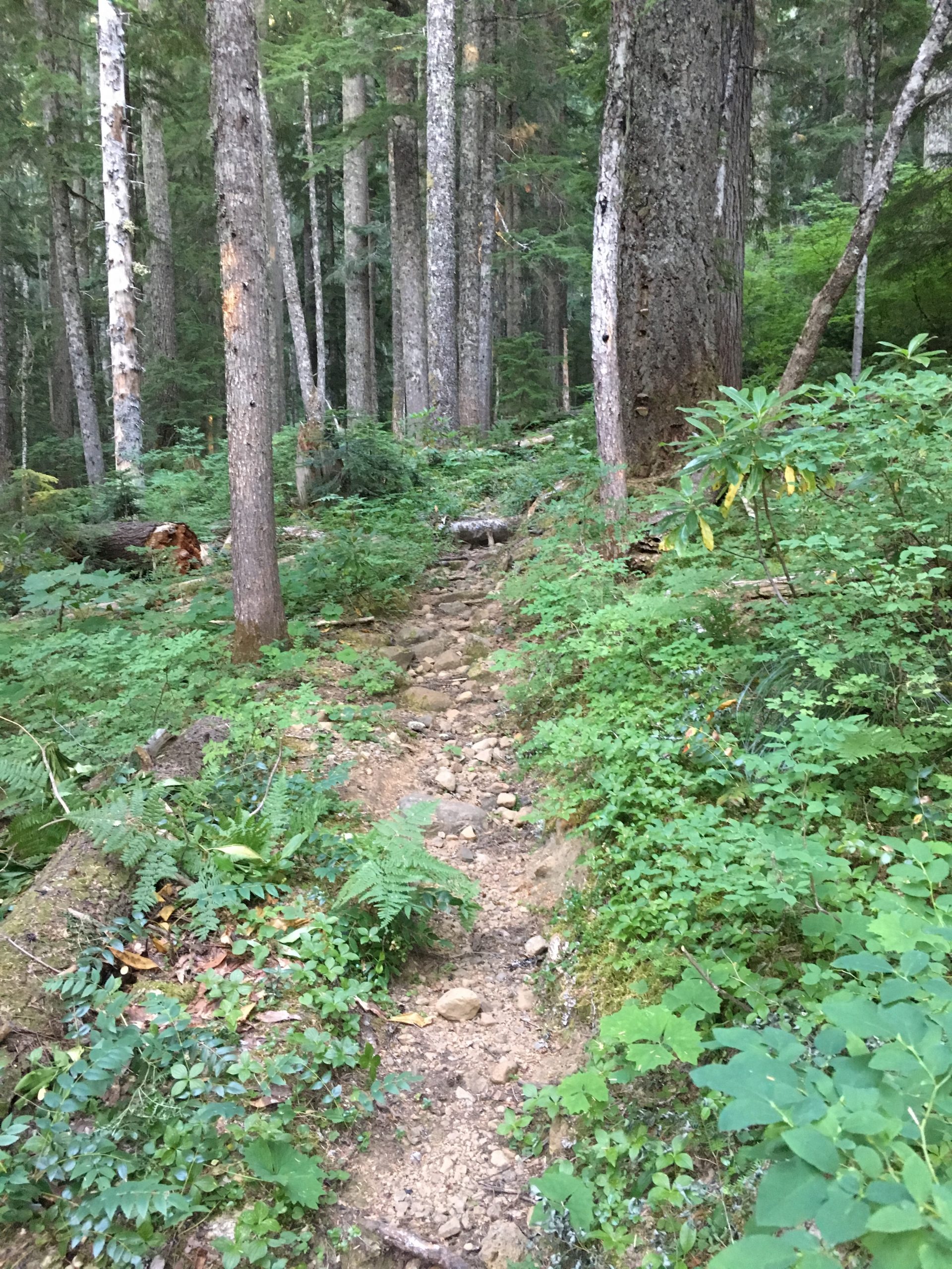
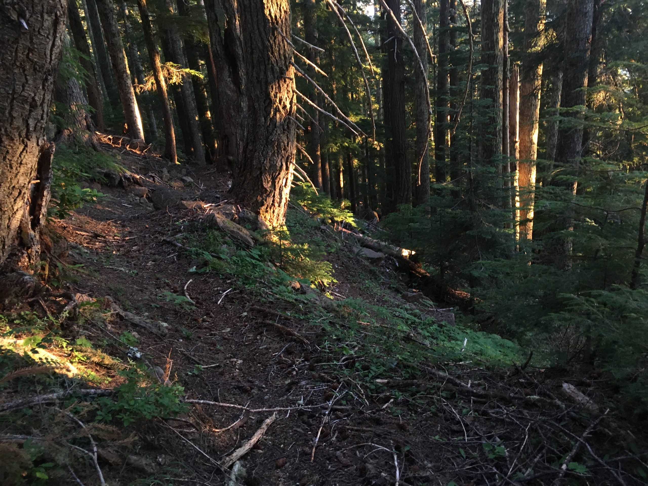
The trees become larger and more mysterious as you get higher and switchbacks make the grade mostly manageable. However, expect very steep sections and don’t feel bad if you are walking sections of this trail.
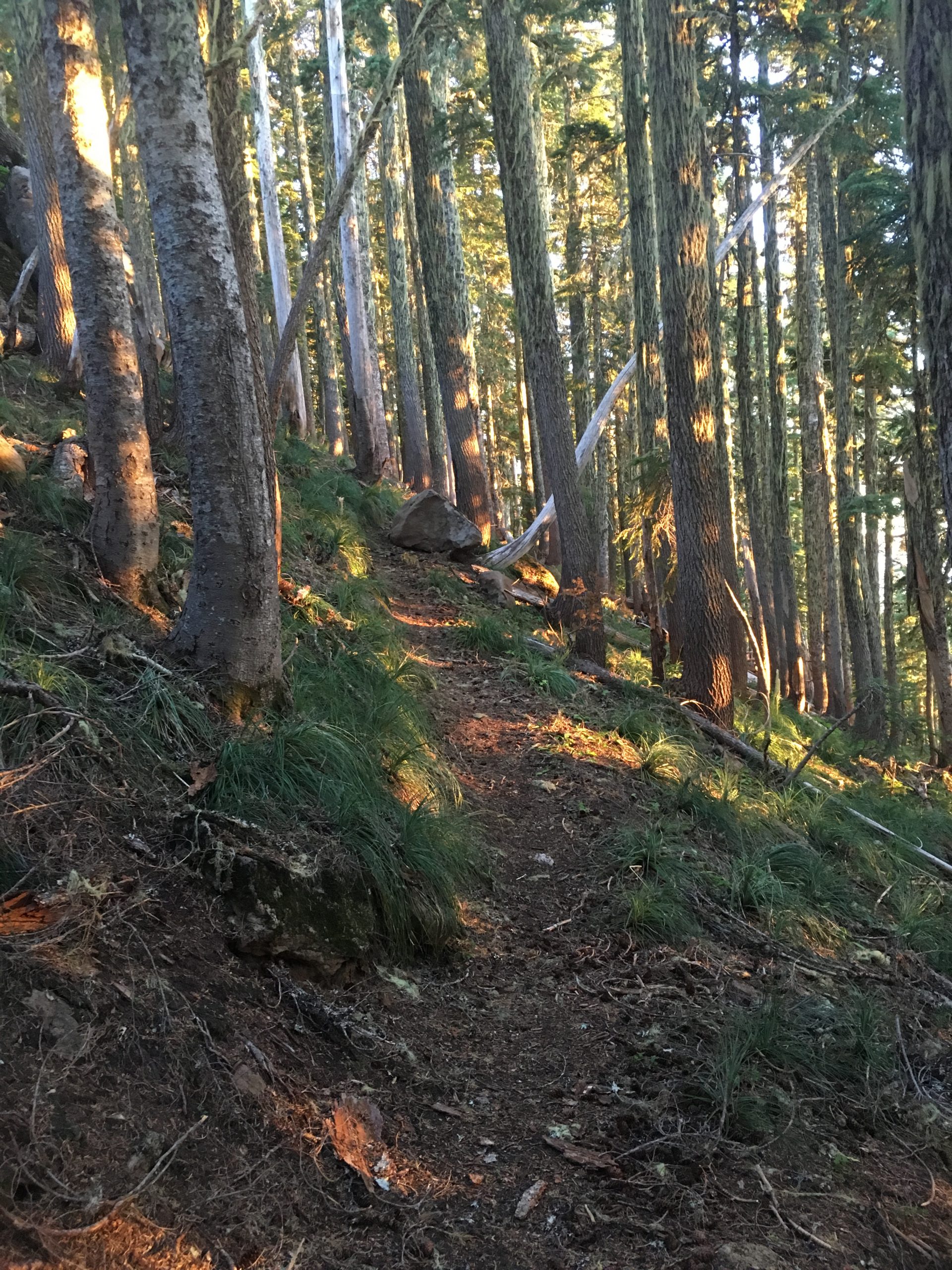
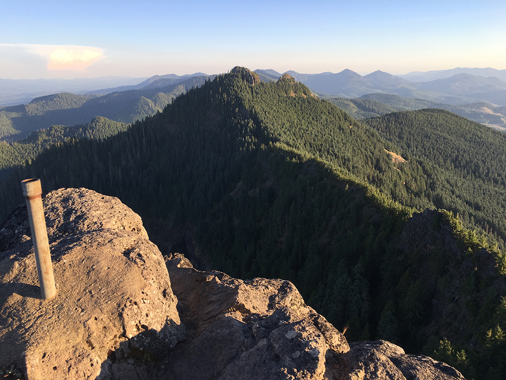
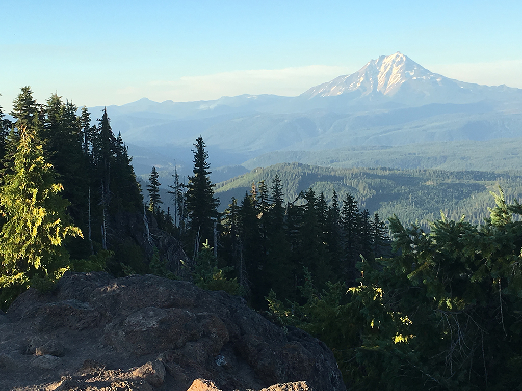
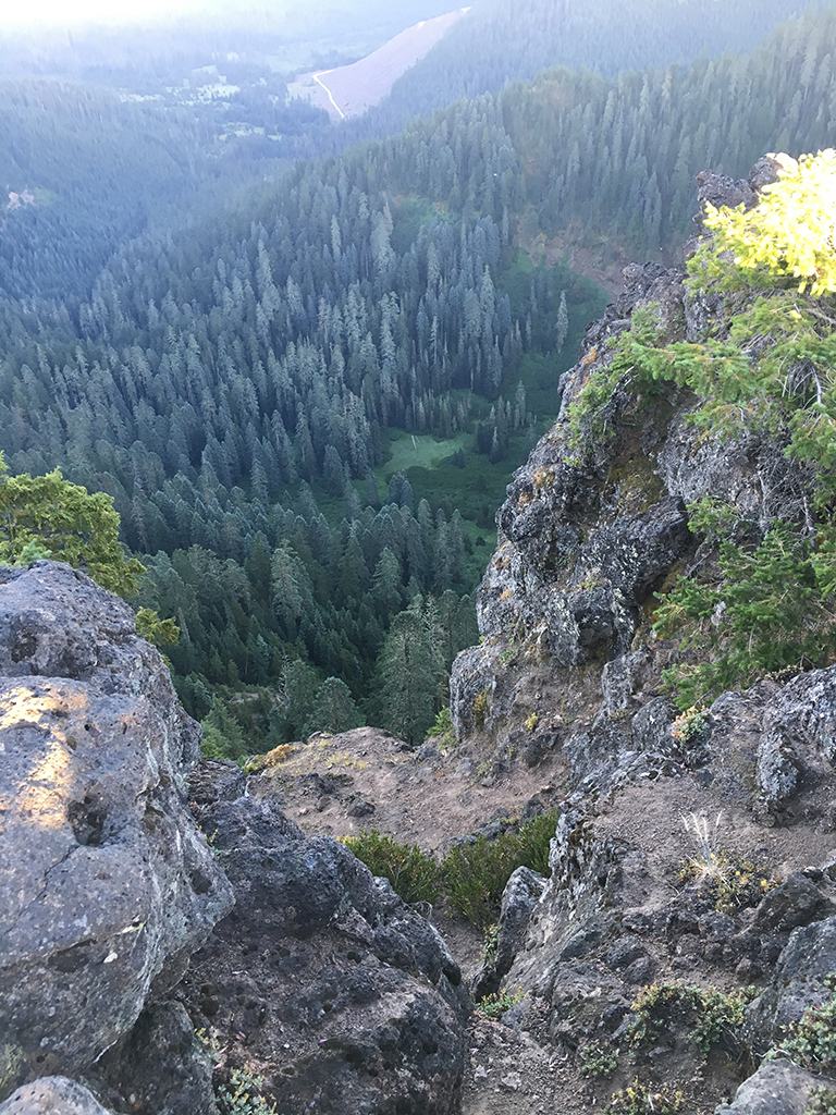
Near the top you will find some nice views along the ridge. You can connect here with the Pyramids Trail (closed to bikes currently), and there’s a spur to the top of the Middle Pyramid which have the best views you will see along the whole Cascade Crest Loop.
The descent is silly good times.
Once Pyramids trail is opened to bikes again, Horse Creek Lodge & Outfitters can guide or shuttle you on North Pyramid.
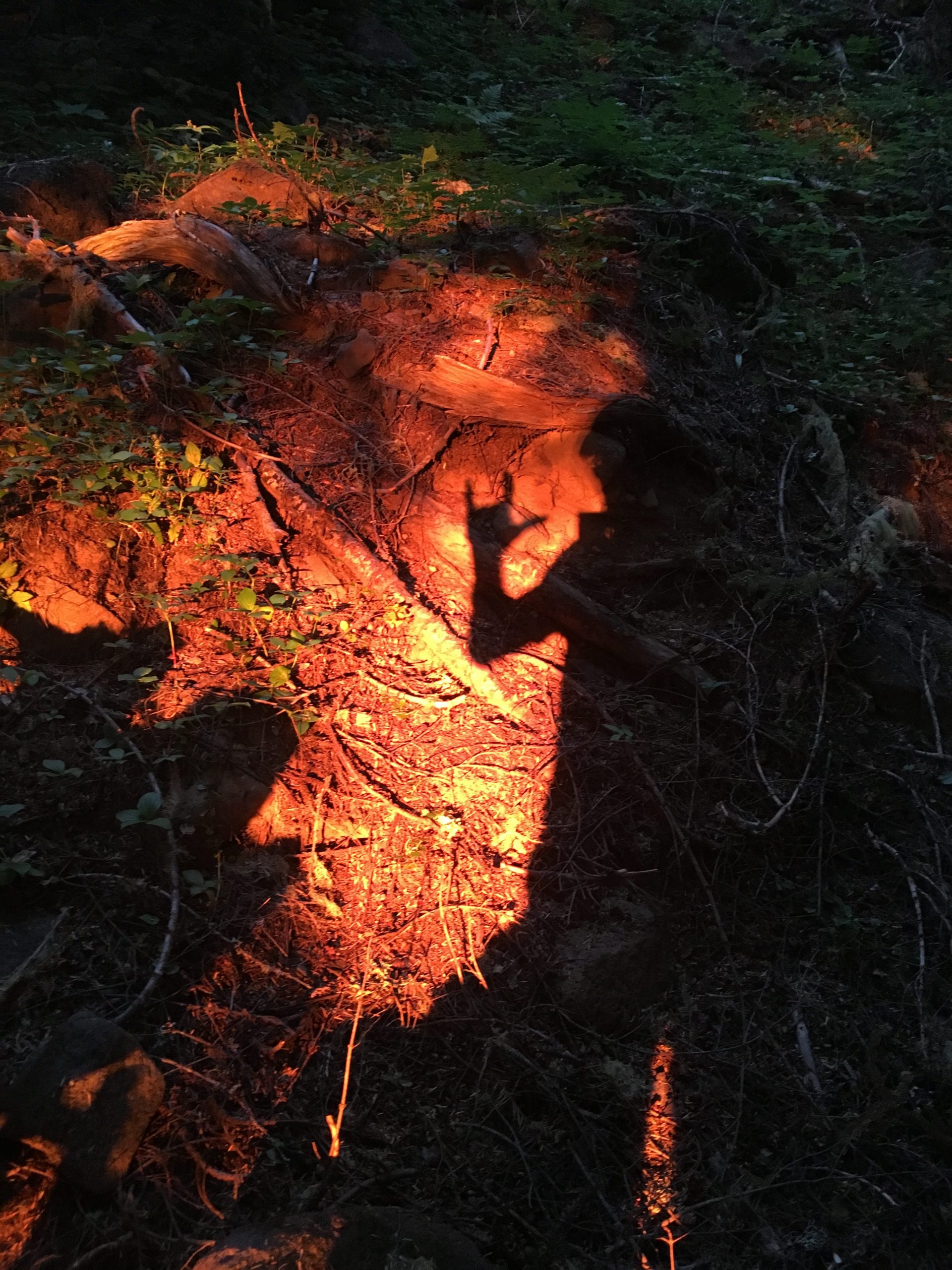
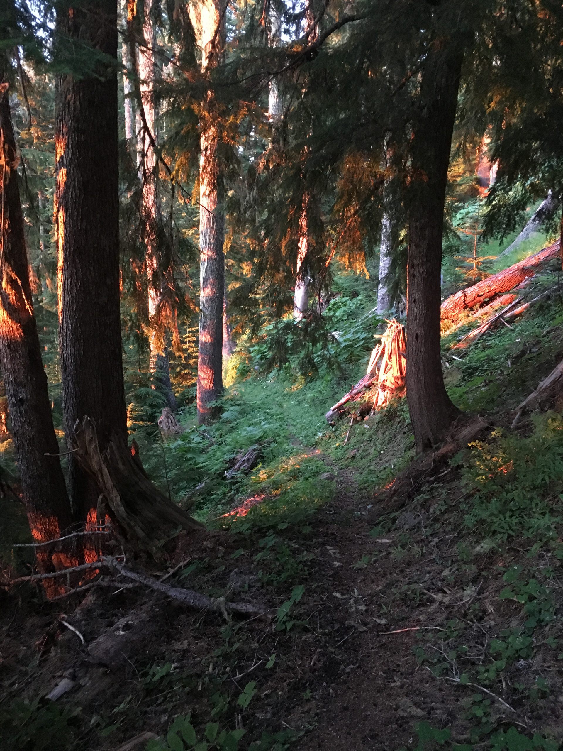
Trail Photos


Trail closed per Pyramid Fire.
Trail is now open and riding well. One tree down about 1/3 of the way up.
Trail cleared June 18th 2023
should be all clear
Clear from N trailhead to 2027 road. Cleared to about 1.5 miles up from 2047 road. Then snow.
Trail currently closed via Bruler fire closure map.
OCC crew Brushed out between TH and stream crossing. One log between stream crossing and 2047 road crossing. Clear of logs most of the way up to the final ridgeline. Most likely snow above that currently.
trail now clear. Thanks JR
Trail clear of deadfall
Three trees down, one ~1/4 mi south of the 2047, two about ~3/4 mi on the switchbacks. Hand saw would take care of two. North of the 2047, there is a uplifted rootwad in the trail that you can squeeze around, but will need some repair. Fun trail, but quite the climb!
Found a pair of sunglasses at the intersection with Pyramids Trail. Post a description if you think they’re yours. Based on looks, they haven’t been out there more than a couple weeks.
logged to snow line near the top
Cleared of deadfall. Thanks Trevor @alpine.running.