Browse The Trails
Fuji Mountain Trail
Trail Snapshot:

Trail Description
E-bikes NOT allowed on Fuji Mountain
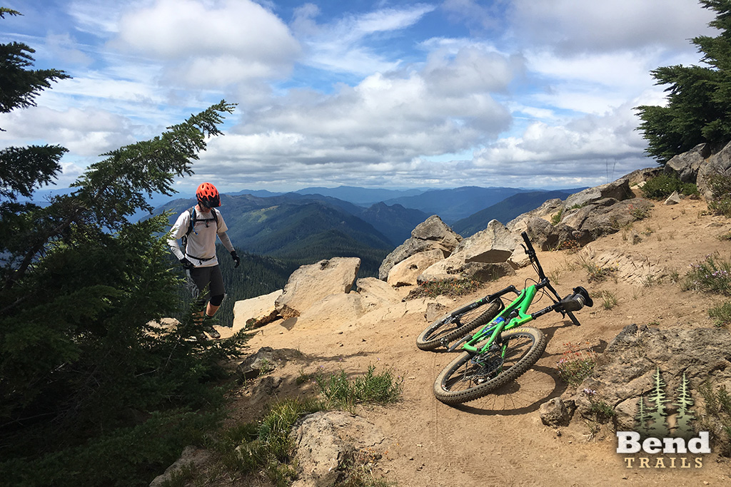
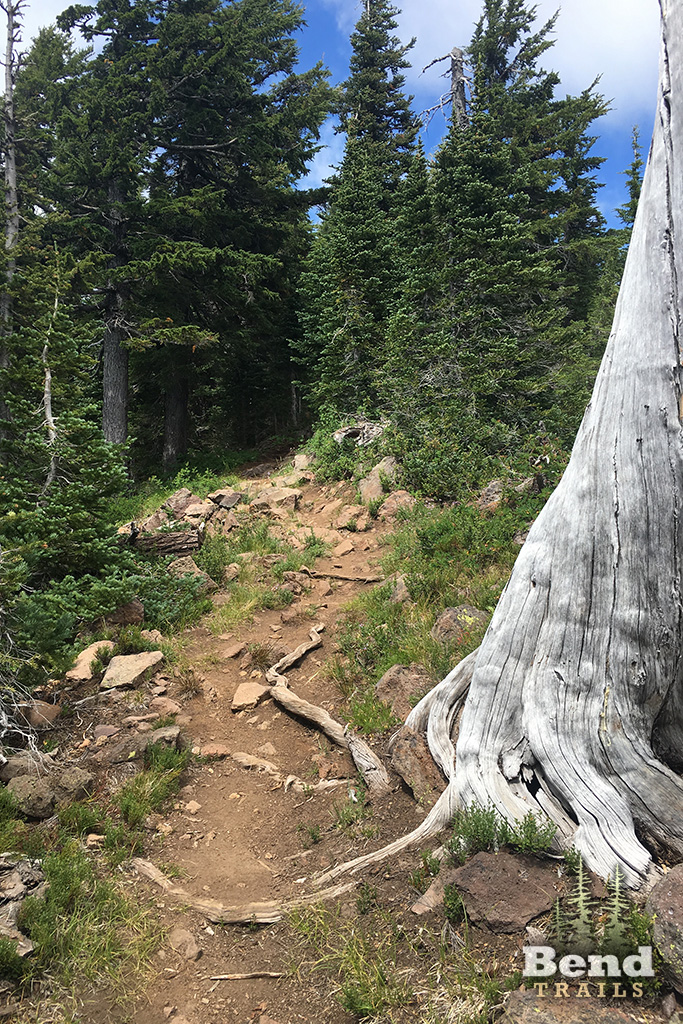
The Fuji Mountain Trail begins on the west side of Forest Road 5897. It follows a long switchback up a steep ridge, then levels off and passes through rolling country with a few short pitches.
The trail passes within view of Birthday Lake and crosses the South Waldo Trail #3586. At this point the trail climbs up a slope, then drops down and traverses a slope to a trail junction.
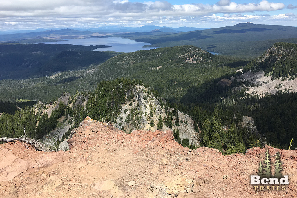
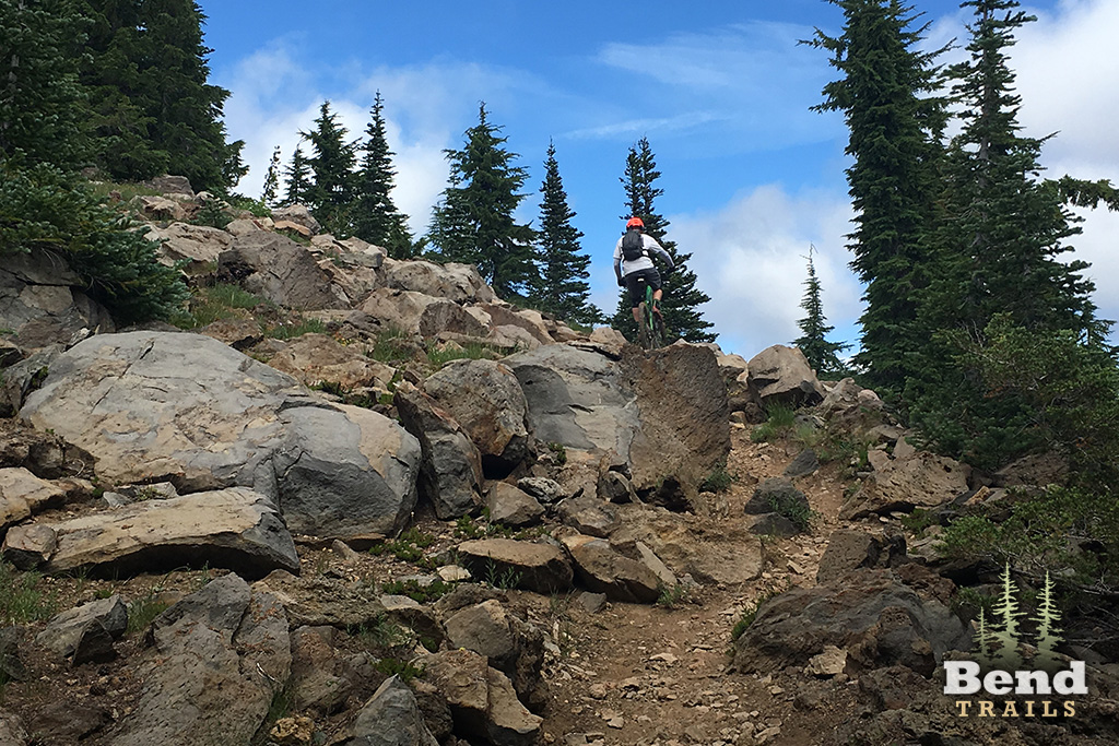
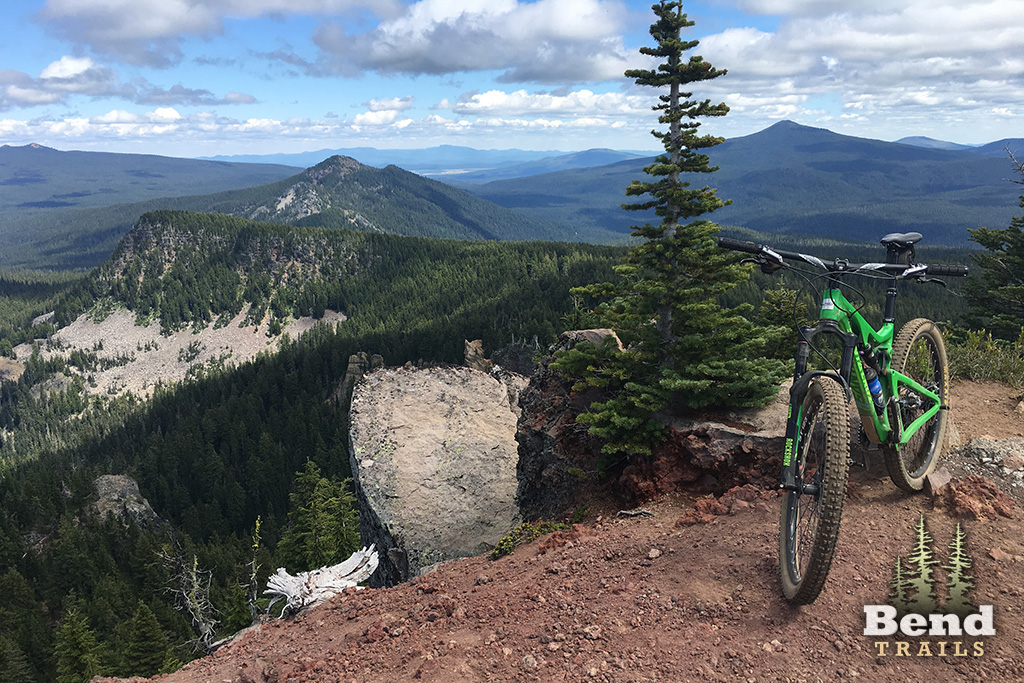
The right fork leads to the top of Fuji Mountain and the left fork leads down 0.25 mile to Forest Road 5883. The trail gets steeper and much more rocky above the South Waldo trail and there are some amazing views on the way up as well as from the top.
Parts of this Trail description from the US Forest Service website.
Note that the distance (6.4 miles) is one-way to the Fuji Mountain summit. Riding a loop via South Waldo Lake and Mt. Ray is closer to 15.3 miles and 2,752′ of climbing.
Trail Photos


Closed due to Cedar Fire.
cleared to summit jct on 7/9/22, Waldo Ultras. Scheduled for 7/20/22
4-5 trees down – but don’t know where. Please note IFPL level before using your gas ax. Waldo Ultra crew is camping out the weekend on July 16th and will be tackling a lot of these trails.
2 largish trees down near top. Thanks Olivia
One tree across the trail about a mile short of the summit. Trail is in good shape otherwise.
Thanks for the update!
trail now clear per Waldo 100 crew!
6 trees down from top to bottom. Report from Chad at the merc.
trail should now be clear per waldo 100 crew
Waldo Ultras crew scheduled to clear this trail on 7/21.
Rode out and back last weekend, about 3 trees down entire ride otherwise good to go!
Sweet, thanks for the update. Been curious about this one! Is a chainsaw needed?
All clear and riding very well. Hope you like climbing if you’re planning on riding this. The thing that kept me going was the fact that the more uphill I did, the more I got to do of the smile-worthy downhill. No loop, just up and back down Fuji is some of the best descending I have done in a long time. On par with Lookout Mt. in the Ochocos IMO.
At least 10 trees down on this trail, none of which can be ridden over. Much of the trail has a center rut. Trail is otherwise mostly dry with the exception of two small snow patches. Bring your 100% deet spray!
To run this as a loop with Mount Ray, would you go clockwise or counter?
CCW from people I have seen ride that loop.
Sort of what I figured, thanks!
Rode this yesterday and decided I would rather Climb up Fuji and decent Ray.
Tried a CW Fuji/Ray the other day, and I agree, prefer that direction
I have not done Mt Ray. Are you saying that descent is better than down Fuji? I just did Fuji for the first time and had a blast. Now I’m thinking I need to try that loop.
Fuji is great downhill but Mt. Ray is steeper and has more technical downhill with roots and rocks. Climbing up Mt. Ray is really tough — so it’s better to take it downhill.
2 trees near summit left, but otherwise clear