Expand Map Expand Page
Gordon Lakes Trail
Trail Snapshot:
Half a dozen trees between the lakes and Meadow trail. Still the same one from last year with a note pinned to it 'Gary you can stop here'.
Trail Description
E-bikes NOT allowed on Gordon Lakes
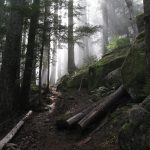
Gordon Lakes Trail has yet to be ridden by the team at BendTrails, as we were busy working on other areas in the region last summer. Yet you can find a lovely write-up at the Dirt Magnet. Sounds like a rugged, scenic trail with an optional lake plunge. You will find Gordon Meadows trail at about the halfway point along Gordon Lake Trail. Soapgrass Mountain trail #3390 and Weiderman Trail #3396 both connect to Gordon Lakes trail, but were recently DE-Commisisoned by the USFS. If they look promising, we are hoping to get them re-opened. Many thanks to the photos in this gallery from Eric Brown (the Dirt Magnet).
CONNECT WITH BEND TRAILS
©2025 MTB Trails LLC, All Rights Reserved
A Project of Sketchbook Inc. and Delicious


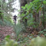
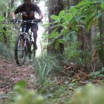
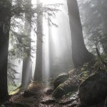
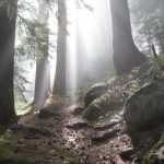


Note that the Weiderman trail has been opened and provides a steep adventurous exit to the Gordon experience. The original exit is closed, and the trail now descends to a steep 200ft vert hike-a-bike climb to a decommissioned road which then traverses west to an intersection with the Santiam Wagon road very near Yukwah CG.
Riding great, and the blueberries near Gordon Meadows are insane this year !
Cleared by Salamander crew (cascade volunteers)
Trail is cut out with only one small tree down, and riding the best it has been in recent memory. Still a bit brushy on the western end, but in great shape. XC-ish, but so good.
Good to hear ! I ride it once a year and have watched it deteriorate over the last few years.
Another great late season ride on this primitive single track. Trail’s in great shape, but there are about 25 trees down, many in the 12″ to 18″ range
About 8 trees down, and they’ll probably keep piling up during the winter :)
Did this for the first time a week ago. Started on the West end, where it begins as an old road, but soon turns into a narrow pack animal trail climb. Some techy bits, and lots of HAB : better in the downhill direction, but the only easy way to access the rest of the trail, where awesomeness occurs at around the 1 mile mark as you enter old growth forest. Mostly rolling up and down after this, with some fun rocky sections. One onerous HAB up a hillside, but mostly great stuff. Enjoy the lakes at the end. It’s in the middle of nowhere, but I did it as a ~40 mile loop starting at Tombstone Pass (where you get to start with 10+ miles of downhill singletrack on the Santiam Wagon Road)
Oh, Weiderman Trail was really overgrown, and I couldn’t find Soapgrass Mountain trail