Browse The Trails
Pyramid Epic Loop Trail
Trail Snapshot:

Trail Description
E-bikes NOT allowed on Pyramid Epic Loop
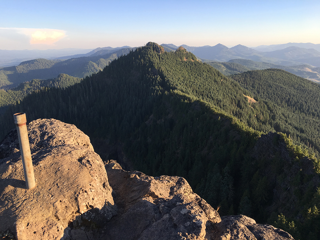
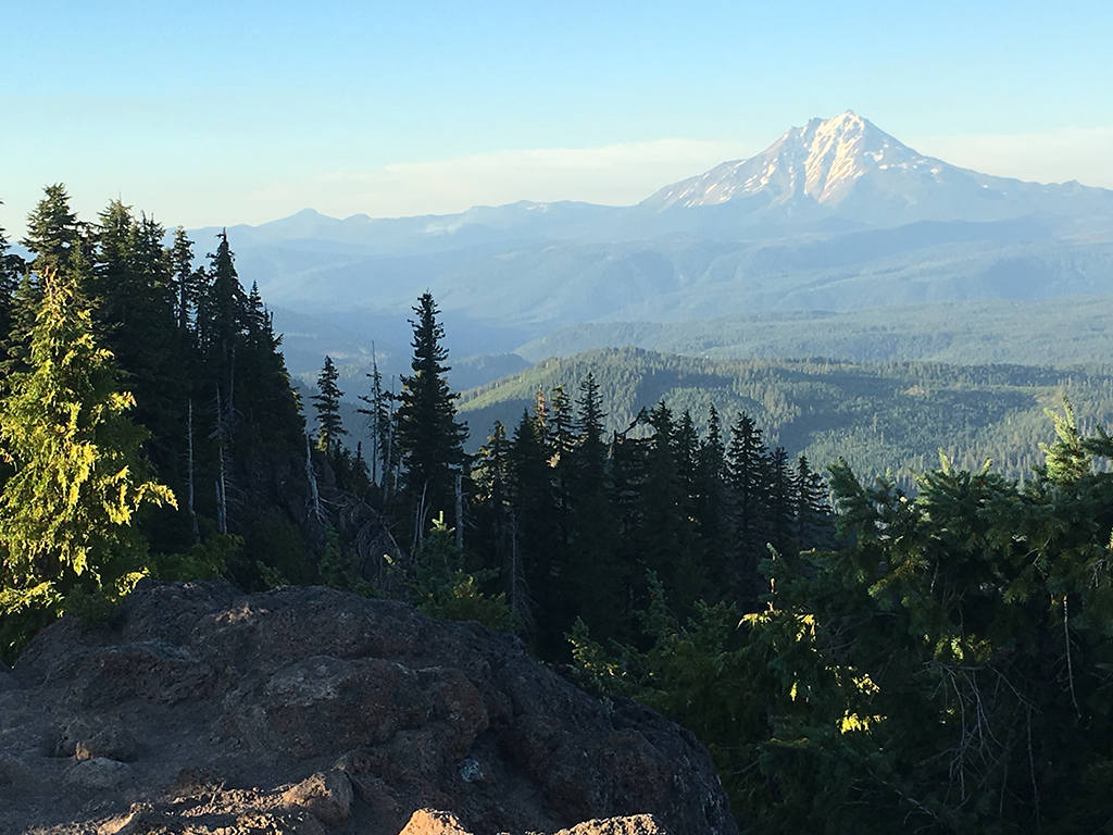
The Cascade Crest Loop is remote, scenic and primitive and should be on everyone’s bucket list!
The trails along this loop include North Pyramid, Pyramids, South Pyramid Creek, Chimney Peak, Gordan Peak and Scar Mountain for a total of 29 miles and about 10k feet of climbing.
The loop also connects to the Crescent Mountain North trail on the Southeast side of the loop. You can also do a 7.5 mile out-and-back on Swamp Peak Trail which intersects the loop on the West side. Note the Swamp Peak Trail crosses into Wilderness at 3.65 or so where bikes are not allowed.
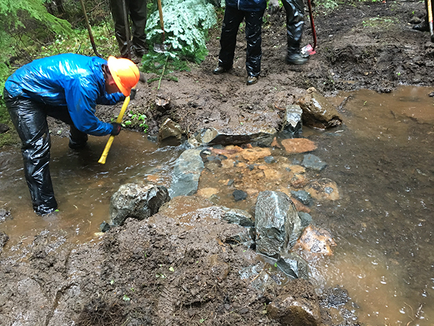
Bring lots of water and plan on a full day (or days) to finish this challenging and remote loop. Note that the Pyramids Trail is currently closed to bikes, and you will need to walk this short section. A re-route will be fixing a problem area on this trail and we will be working on addressing it in Spring of 2018. Once completed, the trail should be re-opened to bikes.
Hit up Horse Creek Lodge & Outfitters if you need a guide or a shuttle on this loop.
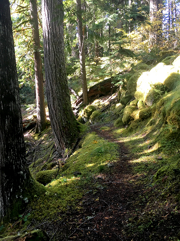
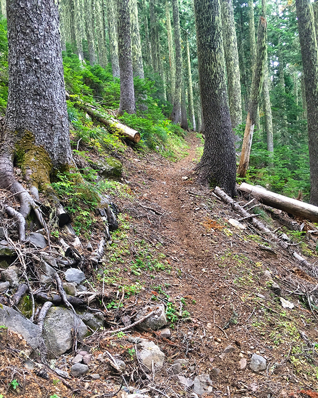
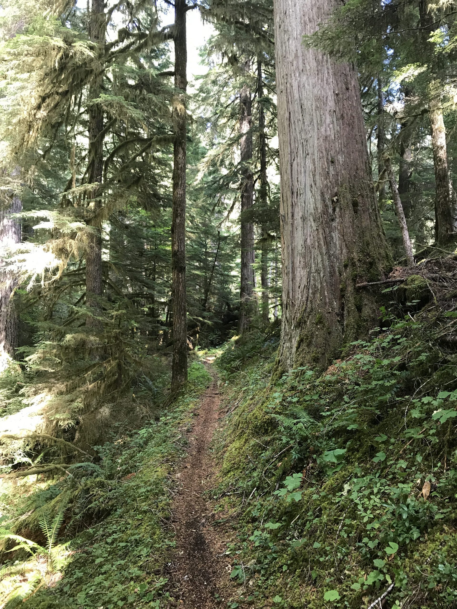
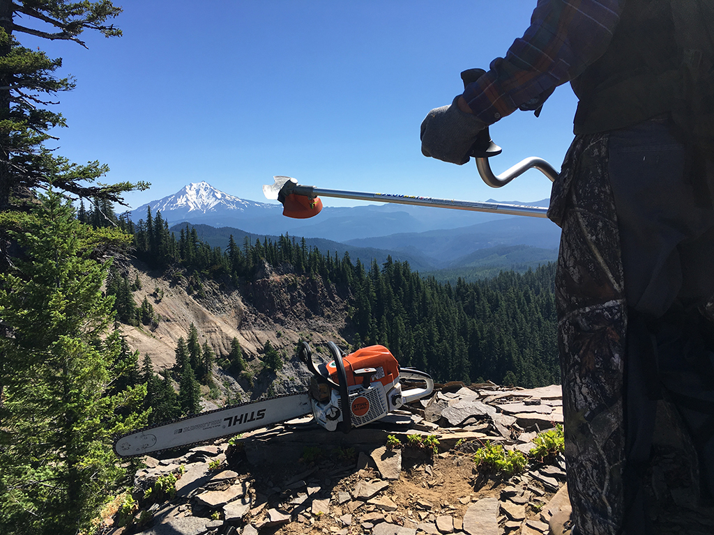
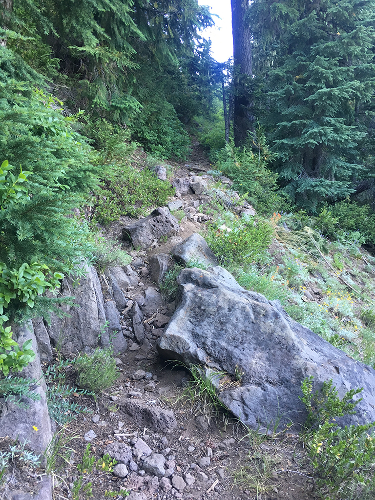
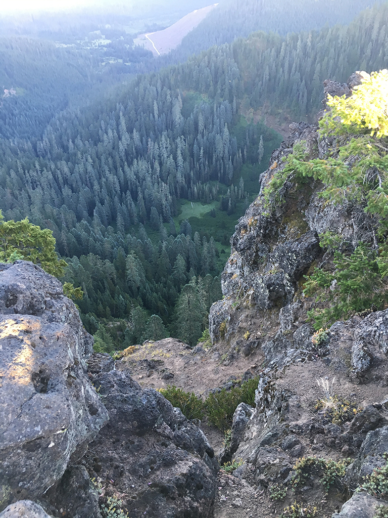
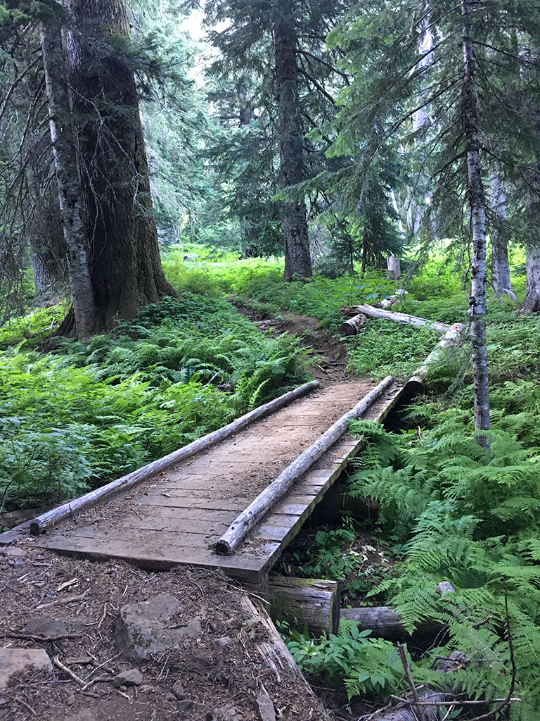
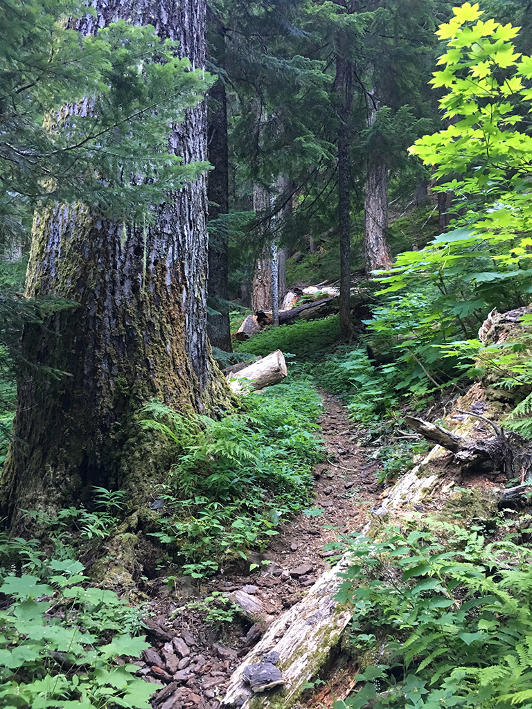
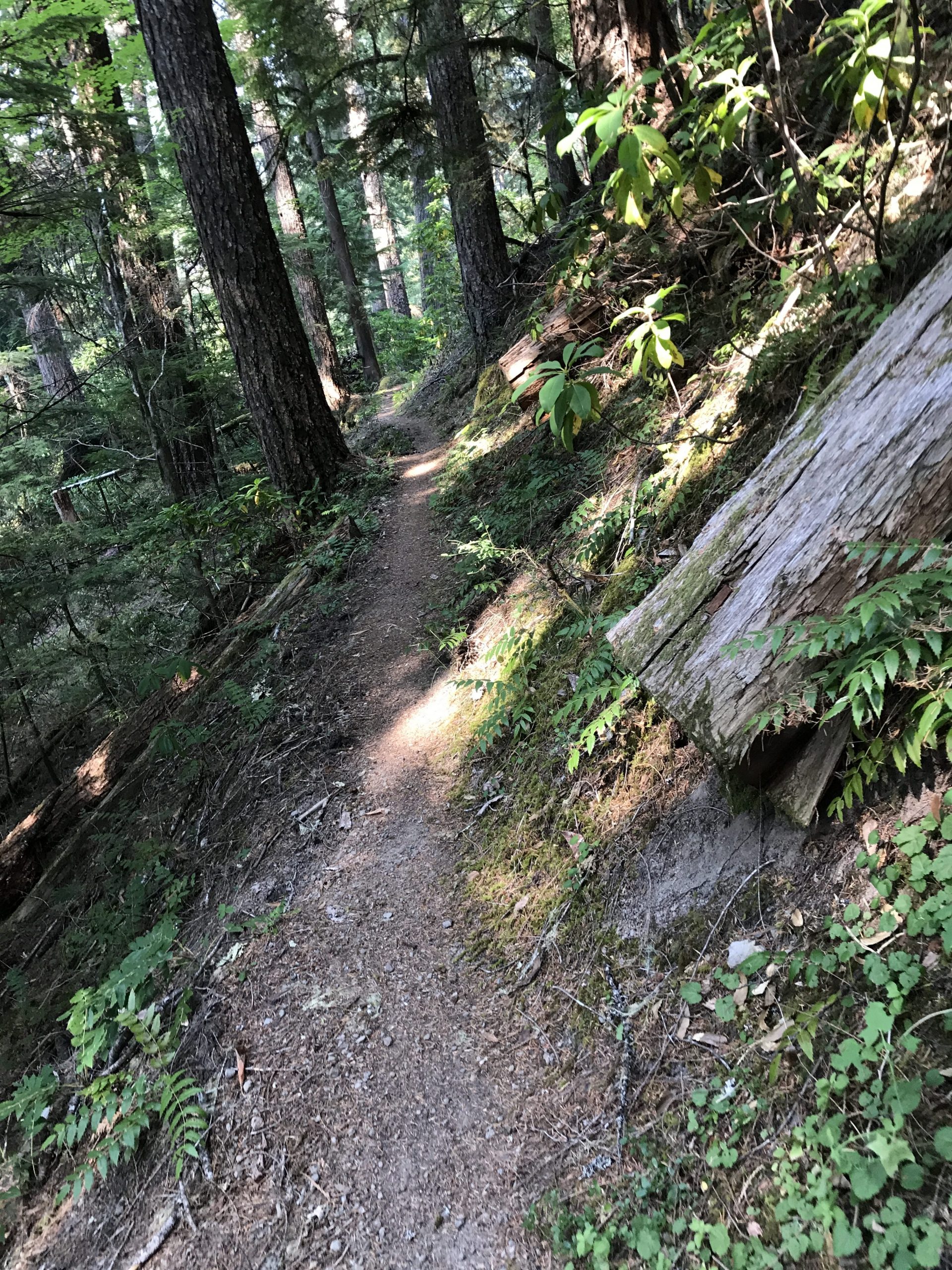
Trail Photos


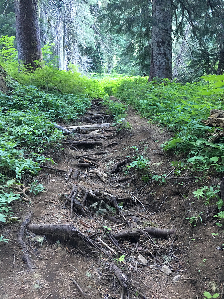


The Pyramid Fire closure has been lifted and the trail fully cleared. The tread in the burn zone is rougher than before and new trees will be coming down, but it was fully cleared this summer.
Trail closed per Pyramid Fire.
Pretty much all clear
Trail currently closed via Bruler fire closure map.
Entire loop is now clear of trees.
We didn’t get to ride Scar yesterday, but aside from some occasional deadfall everything is riding great.
Rode this loop today… all clear except one small tree…
riding well all the way around the loop, wildflowers all around the peaks… beautiful, wet and loamy for sure
Planning on riding the loop this Friday. Is there a preferred direction of travel for this ride and would be the best starting point? Thanks in advance!
Ccw for sure. Start at bottom of pyramids is probably easiest.
I did it cw from South Crescent last week. Main deciding factor for me was whether I wanted to carry my bike up or down Pyramid trail. Cw you get an awesome descent down Pyramid Creek, a long slog uphill on Chimney/Gordon, and great downhill off Scar. But ccw would work great, with the advantage of the nicely switchbacked North Pyramid descent. I don’t remember any water from Pyramid Creek until the bottom of Scar. Oh, and read the trail descriptions ! I missed the part about having to ford across Pyramid Creek and spent half an hour in great confusion trying to find the trail.
Oh crap. I meant clockwise. I’m a dummy. Haha
Hey Guys, Thanks for all the info! I will give a post ride update if we come across anything significant to report.
Just wondering how your ride went and if you did it CW or CCW.
Hi Jon,
Ride went great and we had a long fun day. We started at the South Crescent trailhead climbing up and over crescent mtn linking up with the pyramid loop. We then rode CW heading down Pyramid Creek. After finishing the loop we opted to take forest roads back to the South Crescent trailhead instead of climbing back up and over Cresceent again. I did not have much left in the legs by that time of the day.
Thanks for the report Matt, that’s a big ride!
Does anyone know if there’s still any water sources out there to filter this time of year?
South Pyramid creek was a pretty significant creek so I would imagine the creek is running most of the year. We where also able to fill up water after descending trapper butte at the beginning of the ascent of North Pyramid. This was a much small creek so tough to say if the creek is still running. I also found this website to be another great source for additional information.
https://dirtmagnet.wordpress.com/trails-of-oregon-2/cascades/pyramids-epic-loop/
Whole loop is now clear. Thanks everyone!
I ran the whole loop today. There’s patchy snow, mainly on Pyramids Trail, Scar and Gordan Peak. Nothing that wasn’t easy enough to run over, and not too much of it. There are roughly 5 – 10 logs that need to be cut out in each trail section (North Pyramid, Scar, Gordan Peak, South Pyramid Creek). Probably closer to 10 than 5. Some of them are a pain to get around on foot, so would be a real pain on a bike. I took pictures of most of them, if anyone is interested.
Anyone been on this trail (or parts of trail) in the last week? looking for trail conditions. Thanks
Snow is melted out to about 4800 feet, and I have not been out personally but I know people who have. I’d say a lot of the trails are ride-able at this point. Especially the lower elevation ones like S pyramid creek.