Browse The Trails
Chimney Peak Trail
Trail Snapshot:

Trail Description
E-bikes NOT allowed on Chimney Peak
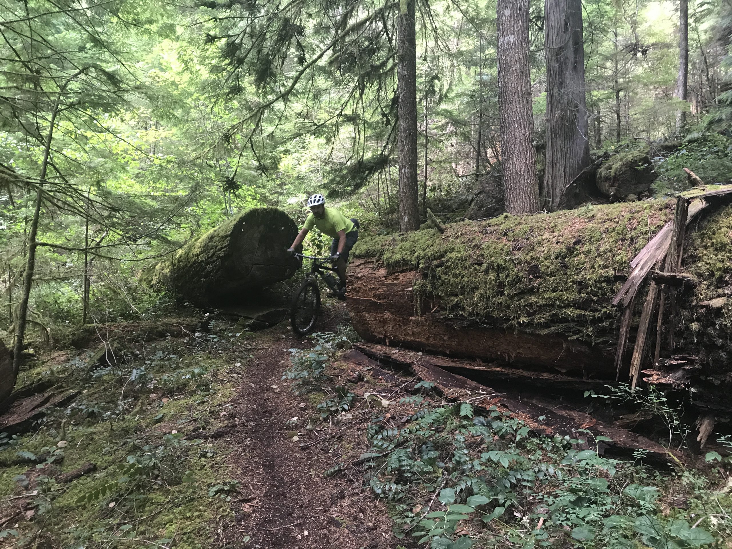
Chimney Peak Trail treads through more old growth forests and connects the Gordan Peak Trail with the South Pyramid Creek Trail. The North end actually is not officially part of the Chimney Peak Trail, as the actual trail enters the Middle Santiam Wilderness, and instead, an old abandoned road serves as the trail for about a mile — which continues the Pyramids Epic Loop.
Note that this section of trail is a part of the Oregon Timber Trail. We worked with the folks at the OTTA as well as Trans-Cascadia to get this section of trail cleared and rehabilitated in the Summer of 2017. The trail was absolutely transformed (back to its original form).
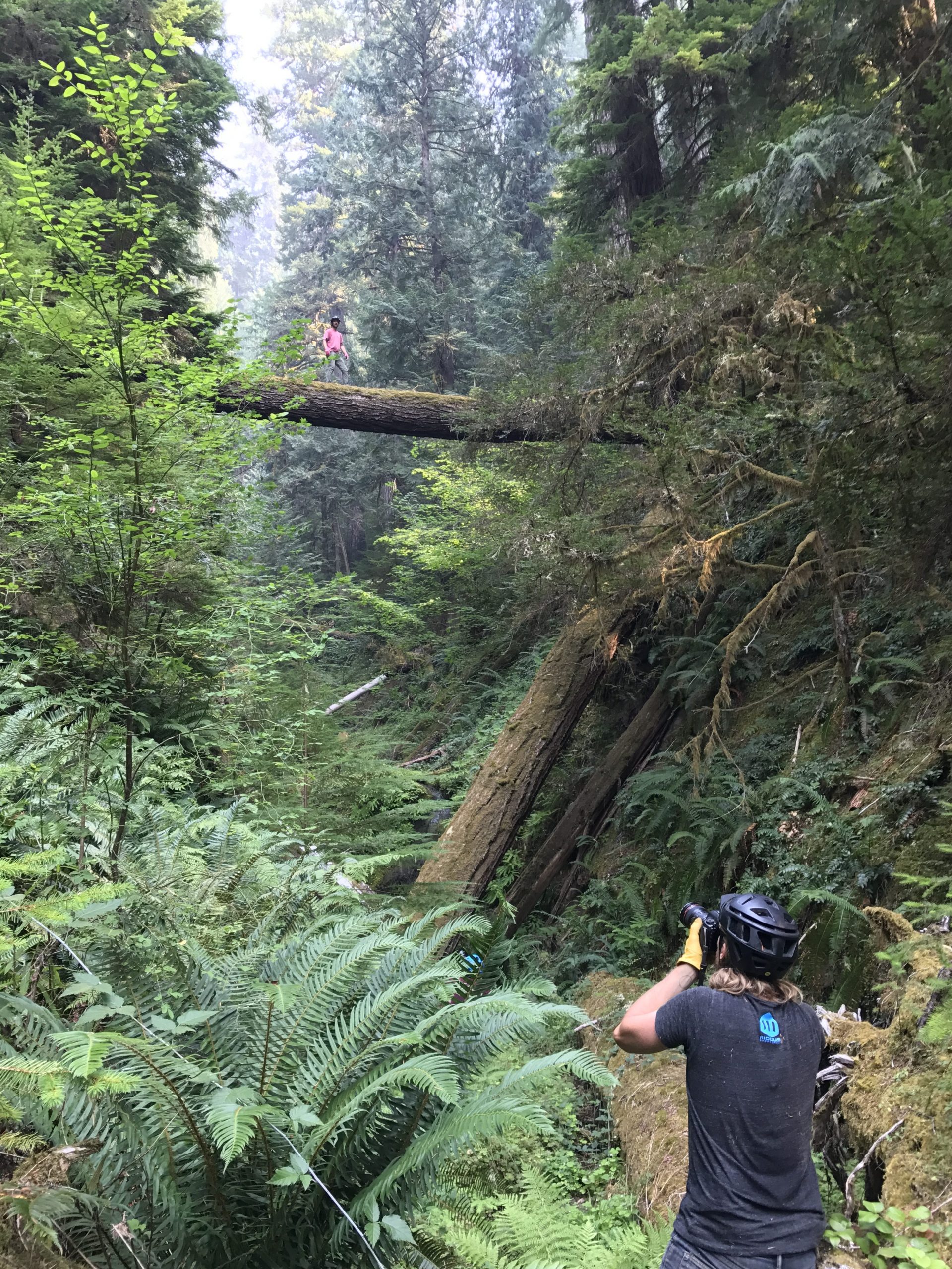
There are two crossings on this trail which are significant. Pyramid Creek is about 50 feet wide, and is fairly shallow but slippery as hell. My first time crossing the creek included falling in with chainsaw chaps and destroying my iPhone. Thank God it was hot out!
The second crossing will leave you dry if you manage to hop along massive boulders which have been cut by the powerful Middle Santiam River. This second crossing of the Santiam is not needed if you are riding the main Pyramids Loop, as you will intersect South Pyramid Creek a couple hundred yards before getting to the Santiam.
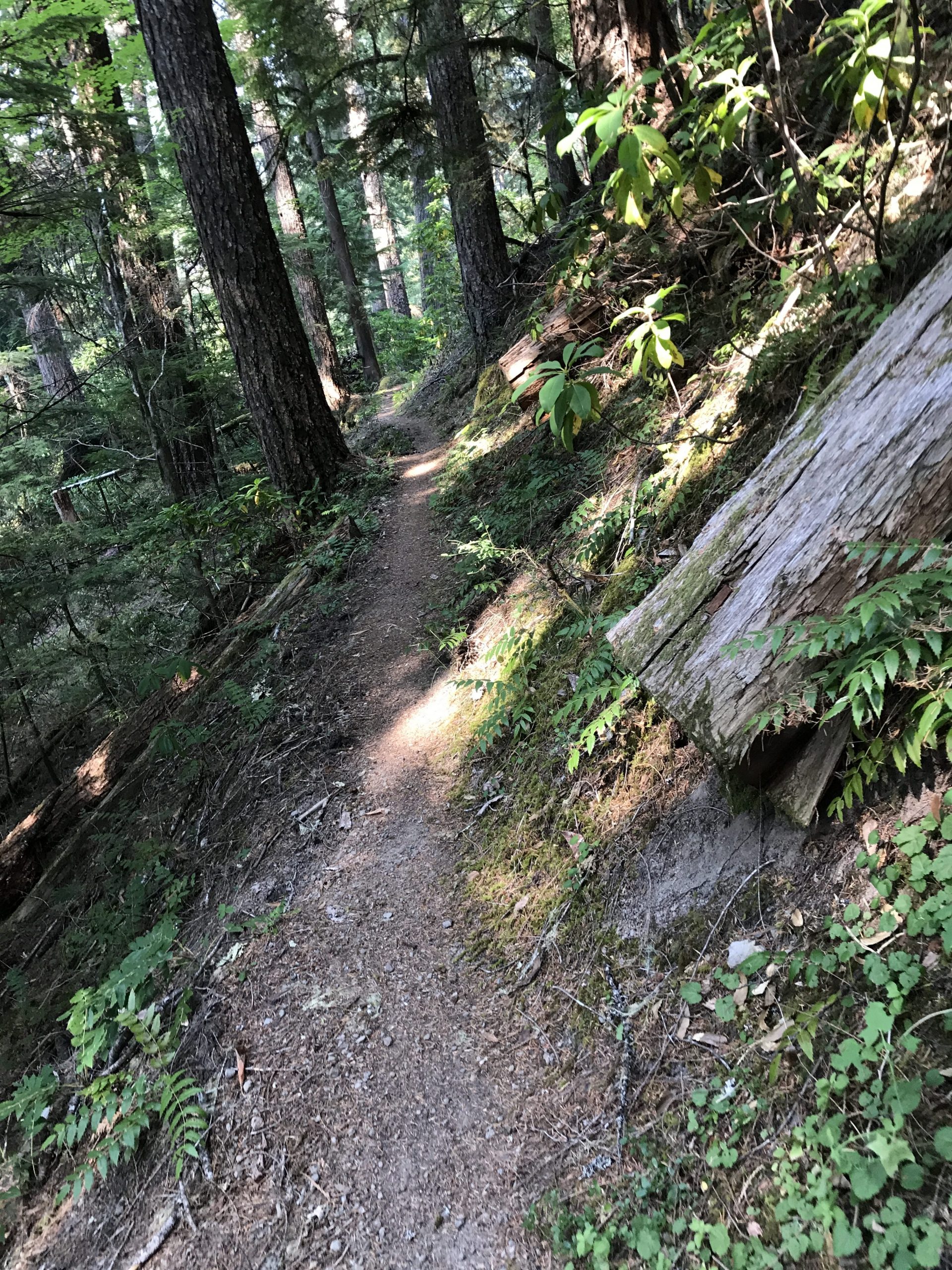
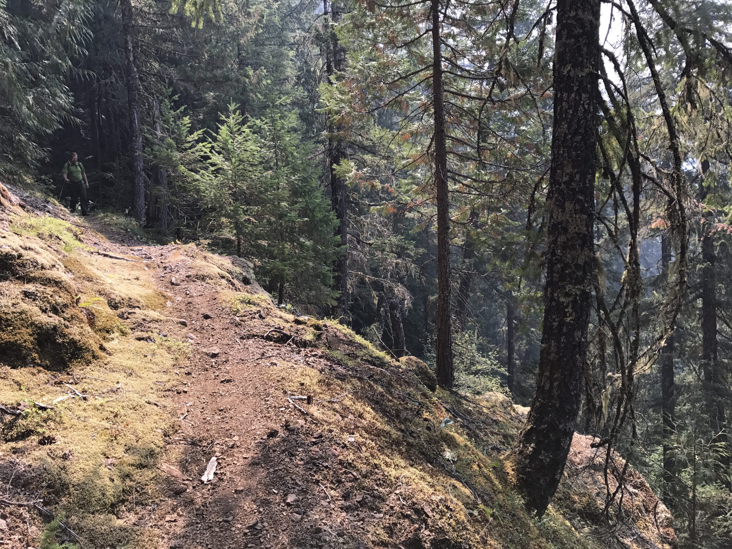
Note that there is some significant exposure along this trail as it is bench cut into a steep cliff which drops some 600 feet into Pyramid Creek below. We have marked the trail as black due to the creek crossings and the steep side exposure. Other than that the trail is mostly a blue.
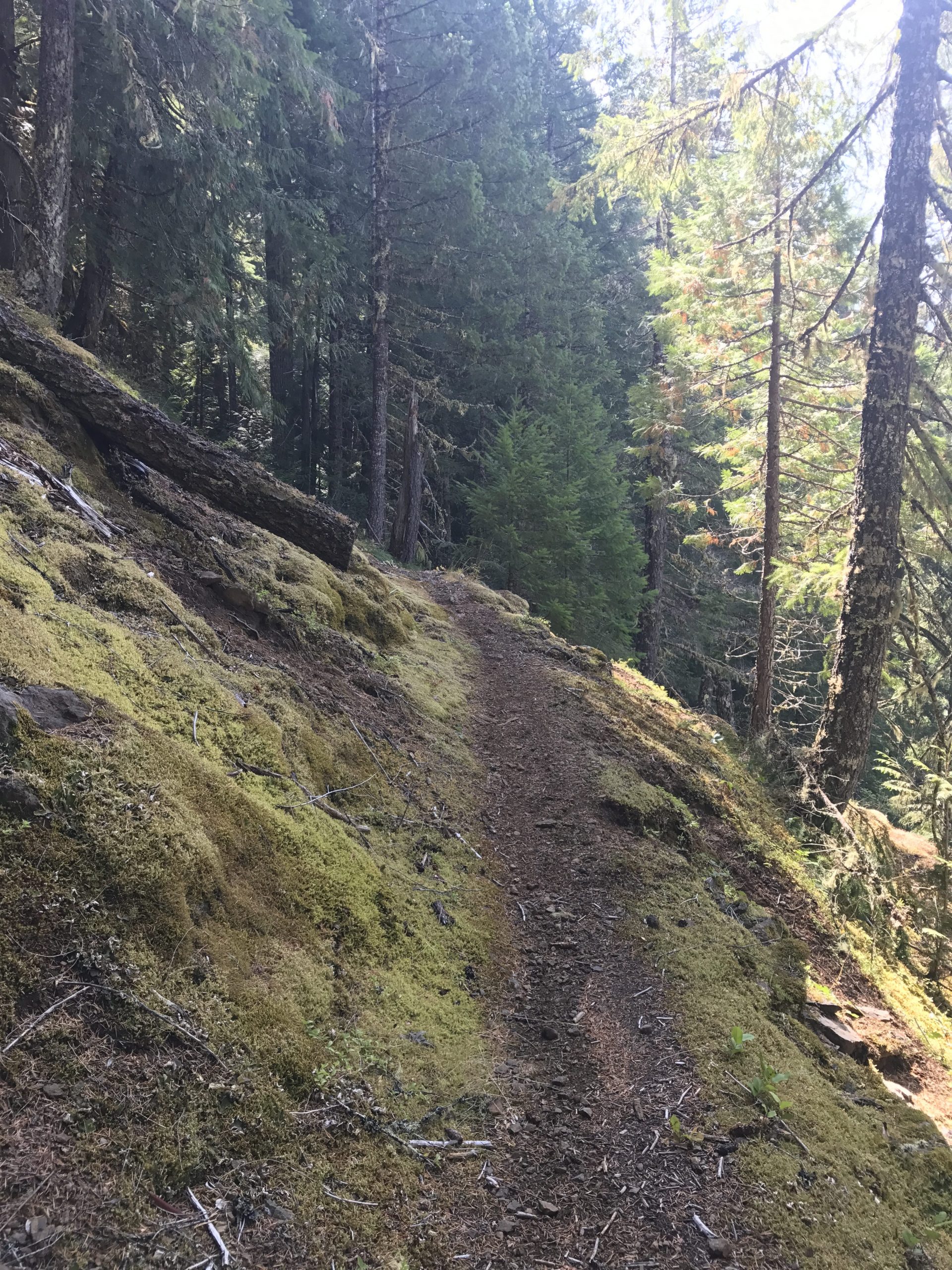
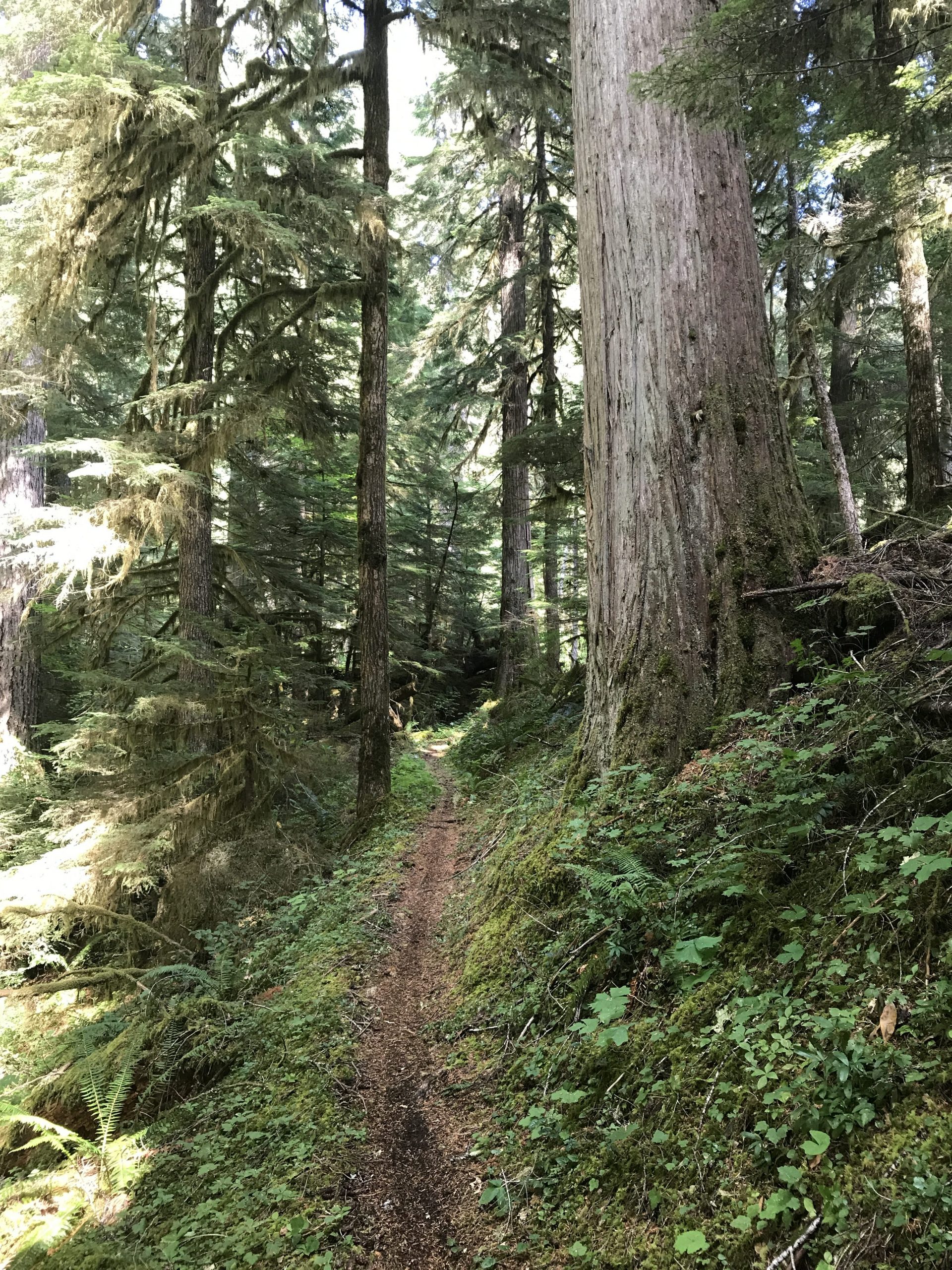
Trail Photos


Fire closure has been lifted. Mostly clear of logs and brush by cota crews and a few others. Expect some increased challenge from fire.
Trees were cleared by COTA/Salamamder crew last month but Trail closed per Pyramid Fire currently.
30″ tree Still down East of River crossing (if doing loop). 2 more which are smaller near by. One 30″ down on shedd camp spur.
Trail cleared the weekend of June 18, 2023 from south pyramid creek to river crossing. Not sure on status east of that.
One new largish tree down east of river crossing.
Also not cleared From Shedd Camp over to S Pyramid Creek trail.
Clear from S Pyramid Creek to the Santiam Crossing. Still trees on the North end. Magic carpet road is apparently very very overgrown and needs some love.
Trail currently closed via Bruler fire closure map.
OCC CREW: clear of downed logs including green carpet road. Minor tread issues where it’s narrow.
a single 12-14″ tree down from recent wind storm.
Trail is clear. Thanks Adam Craig