Castle Rock Trail
Trail Snapshot:
Trail Description
E-bikes NOT allowed on Castle Rock
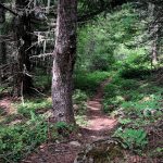
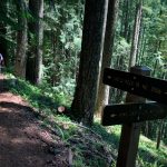
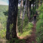
Beginning at O’Leary Mountain Trail #3321 near O’Leary / Castle Rock Trailhead, Castle Rock Trail #3506 heads northeast along the base of Macduff Mountain. The trail passes through an old mixed conifer forest, crossing Cougar Creek and continuing northeast to Forest Road 480. The trail crosses the road and sidehills west up the southeast side of Castle Rock. The trail switches back, continuing a steep uphill grade to its terminus at a scenic viewpoint at the top of Castle Rock. — Description from the US Forest Service website.
Most people ride this trail as part of a clockwise loop with Olallie, O’Leary, Castle Rock and King Castle. That way you can climb a significant amount of road which will get you pretty high up on the loop before decending 100% singletrack. The full loop is over 30 miles and 6000+ ft elevation — so brace for a long day.


Castle Rock is clear
Rode King Castle to the top of Castle Rock. Rode perfectly. Not sure beyond the intersection. Views of the fire scar are sadly quite dramatic.
Addendum: ok we rode from the intersection out and back to Cougar Creek (flowing but crossable). Several chainsaw size trees down but tread perfect. Looks like beyond the creek was still good. Go explore.
Clear as far as the O’Leary loop is concerned.
I added the out and back on Castle Rock to the King Castle/ O’Leary TH. There are about 10 small downed trees. Lots of debris. If you have it in you it’s a nice addition to the standard king castle out and back
Rode an out and back from King Castle TH to Castle Rock/O’leary TH. Excellent conditions!! One down tree about 1/2 mile from King Castle TH.
Photo posted from yesterday of the top of Castle Rock with report as the trail is in great shape up to that point. Still 2 trees down.
2 trees down on lower castle rock before King intersection
Damp and stickeeee sweet!
We rode Ollalie/O’leary/Castle Rock/King’s Castle 6/11/16. Castle Rock is riding great! There is a reroute at the beginning of the steep gnar switchback section, but we didnt’ know which way to go. How ’bout some signage bro’s? Haha, all part of the adventure I suppose.