Bugaboo Ridge Trail
Trail Snapshot:
Trail Description
E-bikes NOT allowed on Bugaboo Ridge
Bugaboo Ridge Trail will take you up through a Douglas Fir and Western Hemlock forest and eventually up into Noble Fir territory. The first section of trail takes you in and out of old clear cuts which are growing back with lovely wild flowers. Upper portions of the trail are more difficult, rocky and steep with exposure along the ridge side. Bugaboo Ridge Trail connects to Bruno Meadows Trail about two-thirds of the way up the ridge, and at the top of the ridge you will tee into the Bachelor Mountain Trail.
This trail was, in the beginning, a part of the Oregon Timber Trail, yet after some OTTA pioneers rode through in the summer of 2017 with full bike setups, they decided it was a little too much for bike packing.


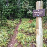
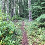


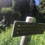


Brushed and clear of logs thanks to Salamander crew.
Inaccessible due to forest road closure for logging. In search of clean air, I dove all the way out here only to find a barricaded road about a mile in from the highway. This will affect all the other trails accessed by 2234 as well. Don’t bother trying to come in 2234 from Idanha – it’s not possible despite Google’s assurances. That end of the road and all alternatives are blocked by landslides and/or deadfall. I couldn’t even get through by bike. It did make for a pretty, but steep, drive.
Trail open and generally running well. A few short sections are more overgrown than recent past, and only 1 tree across at the Bachelor trail junction. Bachelor trail has several big trees down, but we managed to cut/move most .
Trail currently closed via Bruler fire closure map.
No deadfall. Quiet. Pretty flowers.
~5-6 trees down before the Bachelor junction. 2-3 will require saws, 2-3 probably just need a few people to move. Otherwise, amazing.
Did it yesterday (5/26/18) to Bachelor summit. Nice w/few blowdowns, but did clear many branches. Some patches of snow, a few in the 20-40 yard range, some sloped. Don’t be deterred – first snow gives way to dry & clear. Same with initial patch half way up the turn off to the summit. No “postholing”. Doggie water half way up.