Black Rock Trail
Trail Snapshot:
Trail Description
E-bikes NOT allowed on Black Rock
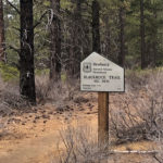
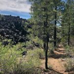
Although rerouted in recent history, the Black Rock Trail is one of the oldest mtb trails in Central Oregon. The name of the trail is derived from the route around a massive bed of dark lava rock. The trail starts on the East end at the Lava Lands Visitor Center.
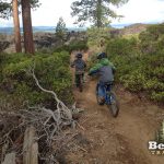
Recently a paved path was placed parallel to the Black Rock Trail which allows for families and riders of all skill levels a chance to ride and explore the area. Start out on the paved path, and within 50 feet there is a singletrack trail on your right. The trail is mostly green with sections of technical lava rock. You can bail at a few places along the way to head back over to the paved path if need be (it’s about 50 yards away).
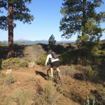
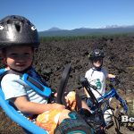
About half way down the trail there is a fork to the right which takes you up onto the lava field. It’s a great viewpoint for the Cascade Range and you are literally surrounded by miles of lava. The trail extends up over the lava field to the South and winds through some trees for about 1/4 mile when it dead ends.
Past the turnoff to the lava field, the trail meanders down to the Railroad tracks, and eventually kicks you out on the road near the Benham Falls parking area and pedestrian bridge. You can connect to the Deschutes River Trail here or head South to Sunriver.
This trail is maintained by Central Oregon Trail Alliance.




When the smoke is clear it’s a very nice ride.
No snow, ice, or mud. Only pine cones…
I believe the trail has been rerouted. It no longer begins/ends at the Benham Bridge. Instead it ends near the intersection of the Pedway (Sun-Lava Trail?) and NF9702 after crossing the RR tracks.
old trampled refrozen snow with sections of ice in the form of frozen puddles. Scatted pine needles increase traction factor by 27%
From the east, might be best not to cross the RR tracks and take the dirt road to the Benham Falls road crossing. There is a log partially blocking the tread.
1-2” of cold, fluffy snow over firm tread. Benham Falls looks magical coated in white.
Trail is in good condition. Interesting ride with the lava field. Nothing technical.
The entire thing is dry. Best conditions I’ve ever seen on this trail.
Still lots of largeish snow patches. Needs another week or two
4-8″ crusty snow broken to Benham Falls today. Now buff trail and super fun for fatbikers.
Riding well. No mud, no water, no problem.
Rode this 2 days ago to DRT. wet and very muddy. got confused at railroad tracks but you can see the trail on the other side if you just cross the tracks and look around
Thanks for the report!