Expand Map Expand Page
M.T.B. Trail
Trail Snapshot:
Trail Description
E-bikes NOT allowed on M.T.B.
The M.T.B. trail connects the uphill only Ben’s Trail to Kent’s Trail so it makes a good bail-out point to go back to the trail head. It also heads off to the North from Ben’s over to Skyliners Road at the intersection of Skyliner’s and the Brooks-Scanlon logging road. Many people ride up Ben’s from Phil’s trailhead, turn right at M.T.B. trail, and head over to Mrazek.
Trail History: M.T.B. trail originally was called Bealeman’s after Mike T. Beale, but was changed to M.T.B. trail.
This trail is maintained by Central Oregon Trail Alliance.
CONNECT WITH BEND TRAILS
©2025 MTB Trails LLC, All Rights Reserved
A Project of Sketchbook Inc. and Delicious




Trees are almost all gone, but riding well.
Muddy and icy
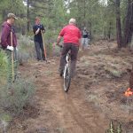
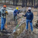
Hi cool kids and those inquiring! Glenn, Henry and I took some awesome COTA volunteers out to lower Phil’s yesterday to drain standing water, create and clear drains and other stuff. Still a mess out there. Go north or east for another week or so and then the Ben’s, MTB and Kent’s loop should be ready to go. Anything higher will still be a mess. Ride on!
And…if you must ride mud, ride directly down the middle of the trail. Our trails are amazingly self-healing and any ruts will smooth out when the trails dry and become sandy.
Riding decent from shevlin to Kent’s, frozen dirt but some folks definitely hit when was a bit sloppy so expect a few areas of frozen ruts.
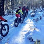
Rode this trail From Ben’s to Kent’s on Thursday the 16th On 4 inch wide studded Dillinger’s . there was only foot prints and possible fat bike tracks underneath the holes from boots. It was a very narrow trail I was off and on the trail a lot sort of difficult to get through down to Kent’s . Augured in a few times but nonetheless it was fun just needs a few more tracks through it
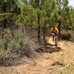
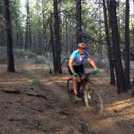
Clear and tacky from Ben’s to Kent’s.
All clear.
MTB was decent with a few snow patches between Ben’s and Kent’s. Kent’s itself looked pretty muddy, so I went back up MTB and back down Ben’s.
Rode Ben’s to MTB to Kent’s as a fatbike loop this morning. Pretty fun. That loop is nicely compacted — though the sides of the trail are pretty high and there’s a fair amount of pedal scraping.